|
Arbach (Swabian Rezat)
Arbach is a river of Bavaria, Germany. It is a right tributary of the Swabian Rezat near Pleinfeld in the Middle Franconian district Weißenburg-Gunzenhausen. The Arbach rises at an altitude of above sea level at Walting in Pleinfeld and feeds there the pond ''Bachweiher''. To the north-east of the wood field sector ''Totenleite'', it is fed on its right side by the Arbachgraben, which is coming from the north from Kreisstraße WUG 16 . It flows further north along the Celtic Viereckschanze and then south of the hill ''Weingartner Berg'' ( above sea level) and finally flows at a height of above sea level in Pleinfeld, north of the street ''Zollgasse'', from the right into the Swabian Rezat. See also *List of rivers of Bavaria A list of rivers of Bavaria, Germany: A * Aalbach * Abens * Ach * Afferbach *Affinger Bach *Ailsbach * Aisch * Aiterach *Alpbach * Alster * Altmühl * Alz *Amper * Anlauter * Arbach *Arbachgraben *Aschaff * Aschbach *Attel * Aubach, tributary of ... ... [...More Info...] [...Related Items...] OR: [Wikipedia] [Google] [Baidu] |
Swabian Rezat
The Swabian Rezat (german: Schwäbische Rezat) is a 33.3-kilometre-long river in southern Germany (Bavaria). It is the southern, right source river of the Rednitz. It rises in the Franconian Jura hills, near Weißenburg in Bayern. It flows generally north through the towns Weißenburg in Bayern, Ellingen and Pleinfeld. Together with the Franconian Rezat, it forms the Rednitz in Georgensgmünd. In its upper course the Rezat is close to the continental water shed between Rhine and Danube. In the 8th century Charlemagne tried to build a canal between Rezat and Altmühl which were only 3 km away from each other. It's not clear if it was finished and used for a short period or not. Its remains can be seen as "Fossa Carolina" or "Karlsgraben" near Treuchtlingen. Tributaries The following rivers are tributaries to the river Swabian Rezat (from source to mouth): *Left: Weimersheimer Bach, Mittelbühlgraben, Walkershöfer Weihergraben, Vorderer Troppelgraben, Hinterer Troppelgrab ... [...More Info...] [...Related Items...] OR: [Wikipedia] [Google] [Baidu] |
Germany
Germany,, officially the Federal Republic of Germany, is a country in Central Europe. It is the second most populous country in Europe after Russia, and the most populous member state of the European Union. Germany is situated between the Baltic and North seas to the north, and the Alps to the south; it covers an area of , with a population of almost 84 million within its 16 constituent states. Germany borders Denmark to the north, Poland and the Czech Republic to the east, Austria and Switzerland to the south, and France, Luxembourg, Belgium, and the Netherlands to the west. The nation's capital and most populous city is Berlin and its financial centre is Frankfurt; the largest urban area is the Ruhr. Various Germanic tribes have inhabited the northern parts of modern Germany since classical antiquity. A region named Germania was documented before AD 100. In 962, the Kingdom of Germany formed the bulk of the Holy Roman Empire. During the 16th ce ... [...More Info...] [...Related Items...] OR: [Wikipedia] [Google] [Baidu] |
Bavaria
Bavaria ( ; ), officially the Free State of Bavaria (german: Freistaat Bayern, link=no ), is a state in the south-east of Germany. With an area of , Bavaria is the largest German state by land area, comprising roughly a fifth of the total land area of Germany. With over 13 million inhabitants, it is second in population only to North Rhine-Westphalia, but due to its large size its population density is below the German average. Bavaria's main cities are Munich (its capital and largest city and also the third largest city in Germany), Nuremberg, and Augsburg. The history of Bavaria includes its earliest settlement by Iron Age Celtic tribes, followed by the conquests of the Roman Empire in the 1st century BC, when the territory was incorporated into the provinces of Raetia and Noricum. It became the Duchy of Bavaria (a stem duchy) in the 6th century AD following the collapse of the Western Roman Empire. It was later incorporated into the Holy Roman Empire, became an ind ... [...More Info...] [...Related Items...] OR: [Wikipedia] [Google] [Baidu] |
Pleinfeld
Pleinfeld is a Franconian municipality and market town in the Weißenburg-Gunzenhausen district, in the German state of Bavaria. It is situated in the Metropolitan Area of Nuremberg and in the Franconian Lake District. Pleinfeld is a nationally recognized recreation area. Geography Pleinfeld is located in central Bavaria, in the south of the administrative region Mittelfranken. The municipal area borders on the neighbouring Bavarian district Roth. Neighbouring townships are Pfofeld, Ellingen, Ettenstatt, Höttingen, Absberg, Spalt, Heideck and Röttenbach, Roth, Röttenbach. The landscape is hilly and forested. Pleinfeld is situated on the rivers Swabian Rezat and Arbach (Swabian Rezat), Arbach, north of Weißenburg in Bayern, and south of Nuremberg. Other rivers in the municipality area are Brombach (Swabian Rezat), Brombach river and Banzerbach river, both tributary of the Swabian Rezat. The town's altitude is around Above mean sea level, above sea level. The highest point ... [...More Info...] [...Related Items...] OR: [Wikipedia] [Google] [Baidu] |
Middle Franconia
Middle Franconia (german: Mittelfranken, ) is one of the three administrative regions of Franconia in Bavaria, Germany. It is located in the west of Bavaria and borders the state of Baden-Württemberg. The administrative seat is Ansbach; however, the most populous city is Nuremberg. Subdivisions The region is divided into seven districts ('Landkreise') and five independent cities ('Kreisfreie Städte'). Independent cities * Ansbach * Erlangen * Fürth * Nuremberg * Schwabach Districts * Ansbach * Erlangen-Höchstadt * Fürth * Neustadt (Aisch)-Bad Windsheim * Nürnberger Land * Roth * Weißenburg-Gunzenhausen History After the founding of the Kingdom of Bavaria the state was totally reorganised and, in 1808, divided into 15 administrative government regions (German: Regierungsbezirke (singular Regierungsbezirk)), in Bavaria called Kreise (singular: Kreis). They were created in the fashion of the French departements, quite even in size and population, and named after their mai ... [...More Info...] [...Related Items...] OR: [Wikipedia] [Google] [Baidu] |
Weißenburg-Gunzenhausen
is a ''Landkreis'' (district) in the west of Bavaria, Germany with a population of 95,000. Neighbouring districts are (from the north clockwise) Ansbach, Roth, Eichstätt and Donau-Ries. It is located in the south of Middle Franconia, 50 kilometres south of Nuremberg. Largest city and the administrative center is Weißenburg in Bayern. Geography The district is located on the Hahnenkamm and on the Franconian Alb in the North of the Altmühltal. In the north there are several lakes of the Franconian Lake District. The highest point of the district is the Dürrenberg. The Altmühl flows through the district. From here comes the Solnhofen limestone. Among its nature reserves are the Brombachmoor. History The district was formed in 1972 by a merger of the districts of Gunzenhausen, Weißenburg, and the previously independent urban district of Weißenburg. Coat of arms The coat of arms of the district is divided into three fields: left, right and bottom. The bottom of the coat ... [...More Info...] [...Related Items...] OR: [Wikipedia] [Google] [Baidu] |
Arbachgraben
Arbach is a river of Bavaria, Germany. It is a right tributary of the Swabian Rezat near Pleinfeld in the Middle Franconian district Weißenburg-Gunzenhausen. The Arbach rises at an altitude of above sea level at Walting in Pleinfeld and feeds there the pond ''Bachweiher''. To the north-east of the wood field sector ''Totenleite'', it is fed on its right side by the Arbachgraben, which is coming from the north from Kreisstraße WUG 16 . It flows further north along the Celtic Viereckschanze and then south of the hill ''Weingartner Berg'' ( above sea level) and finally flows at a height of above sea level in Pleinfeld, north of the street ''Zollgasse'', from the right into the Swabian Rezat. See also *List of rivers of Bavaria A list of rivers of Bavaria, Germany: A * Aalbach *Abens * Ach * Afferbach * Affinger Bach * Ailsbach *Aisch * Aiterach *Alpbach *Alster * Altmühl *Alz * Amper * Anlauter * Arbach * Arbachgraben *Aschaff * Aschbach * Attel * Aubach, tributary of ... ... [...More Info...] [...Related Items...] OR: [Wikipedia] [Google] [Baidu] |
Kreisstraße
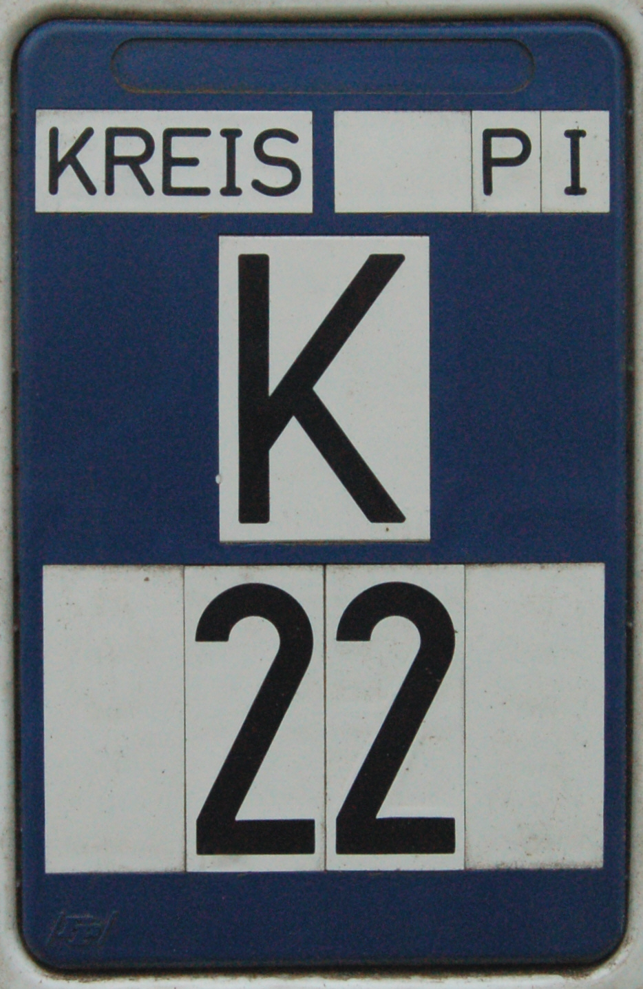
A Kreisstraße (literally: "district road" or "county road") is a class of road in Germany. It carries traffic between the towns and villages within a '' Kreis'' or district or between two neighbouring districts. In importance, the ''Kreisstraße'' ranks below a ''Landesstraße'' (or, in Bavaria and Saxony, a ''Staatstraße'', i.e. a state road), but above a ''Gemeindestraße'' or "local road". ''Kreisstraßen'' are usually the responsibility of the respective rural district (''Landkreis'') or urban district (''Kreisfreie Stadt''), with the exception of high streets through larger towns and villages. Kreisstraßen are usually dual-lane roads but, in a few cases, can be built as limited-access dual carriageways in densely populated areas. Numbering Unlike local roads (''Gemeindestraßen'') the ''Kreisstraßen'' are invariably numbered, but their numbering is not shown on signs. The abbreviation is a prefixed capital letter K followed by a serial number. In most states the car n ... [...More Info...] [...Related Items...] OR: [Wikipedia] [Google] [Baidu] |
Celtic Nations
The Celtic nations are a cultural area and collection of geographical regions in Northwestern Europe where the Celtic languages and cultural traits have survived. The term ''nation'' is used in its original sense to mean a people who share a common identity and culture and are identified with a traditional territory. The six regions widely considered Celtic nations are Brittany (''Breizh''), Cornwall (''Kernow''), Ireland (''Éire''), the Isle of Man (''Mannin'', or ''Ellan Vannin''), Scotland (''Alba''), and Wales (''Cymru''). In each of the six nations a Celtic language is spoken to some extent: Brittonic languages, Brittonic or Brythonic languages are spoken in Brittany (Breton language, Breton), Cornwall (Cornish language, Cornish) and Wales (Welsh language, Welsh), whilst Goidelic languages, Goidelic or Gaelic languages are spoken in Scotland (Scottish Gaelic), Ireland (Irish language, Irish), and the Isle of Man (Manx language, Manx). Before the expansions of Ancien ... [...More Info...] [...Related Items...] OR: [Wikipedia] [Google] [Baidu] |
Viereckschanze
A Viereckschanze (from German "four-corner-rampart"; plural -en) is a rectangular ditched enclosure that was constructed during the Iron Age in parts of Celtic Western Europe. They are widespread in Germany, parts of northern France and also in some regions of the Iberian Peninsula, most notably in Portugal. See also * Nemeton A nemeton (plural: nemeta) was a sacred space of ancient Celtic religion. Nemeta appear to have been primarily situated in natural areas, and, as they often utilized trees, they are often interpreted as sacred groves.Koch, p. 1350. However, othe ... References Celtic archaeology European archaeology Fortifications by type Iron Age Europe German words and phrases {{Europe-archaeology-stub ... [...More Info...] [...Related Items...] OR: [Wikipedia] [Google] [Baidu] |
List Of Rivers Of Bavaria
A list of rivers of Bavaria, Germany: A * Aalbach *Abens * Ach * Afferbach * Affinger Bach * Ailsbach *Aisch * Aiterach *Alpbach *Alster * Altmühl *Alz * Amper * Anlauter * Arbach * Arbachgraben *Aschaff * Aschbach * Attel * Aubach, tributary of the Elsava * Aubach, tributary of the Lohr * Aubach, tributary of the Schwabach * Auer Mühlbach * Auerbach *Aufseß * Aura * Aurach, tributary of the Rednitz * Aurach, tributary of the Regnitz in Middle Franconia * Aurach, tributary of the Regnitz in Upper Franconia * Autenbach B * Bachhaupter Laber * Bächlesbach * Bachmühlbach * Bachquellengraben * Bachwiesengraben *Banzerbach * Baunach *Bayerbacher Bach * Beibuschbach *Berchtesgadener Ache *Bessenbach * Betzenbach * Biber * Biberbach * Bibert * Bina * Blankenbach *Bolgenach * Bösbach *Brandenberger Ache * Braunau *Breitach * Breitbach * Breitenbach * Breitenbrunner Bach * Breitenbrunner Laber * Brend * Brenz * Brombach * Bruchbach * Bruckbach * Brunnbach * Brunnenbach * Brunnthaler ... [...More Info...] [...Related Items...] OR: [Wikipedia] [Google] [Baidu] |

