|
Altiplanicie Mexicana
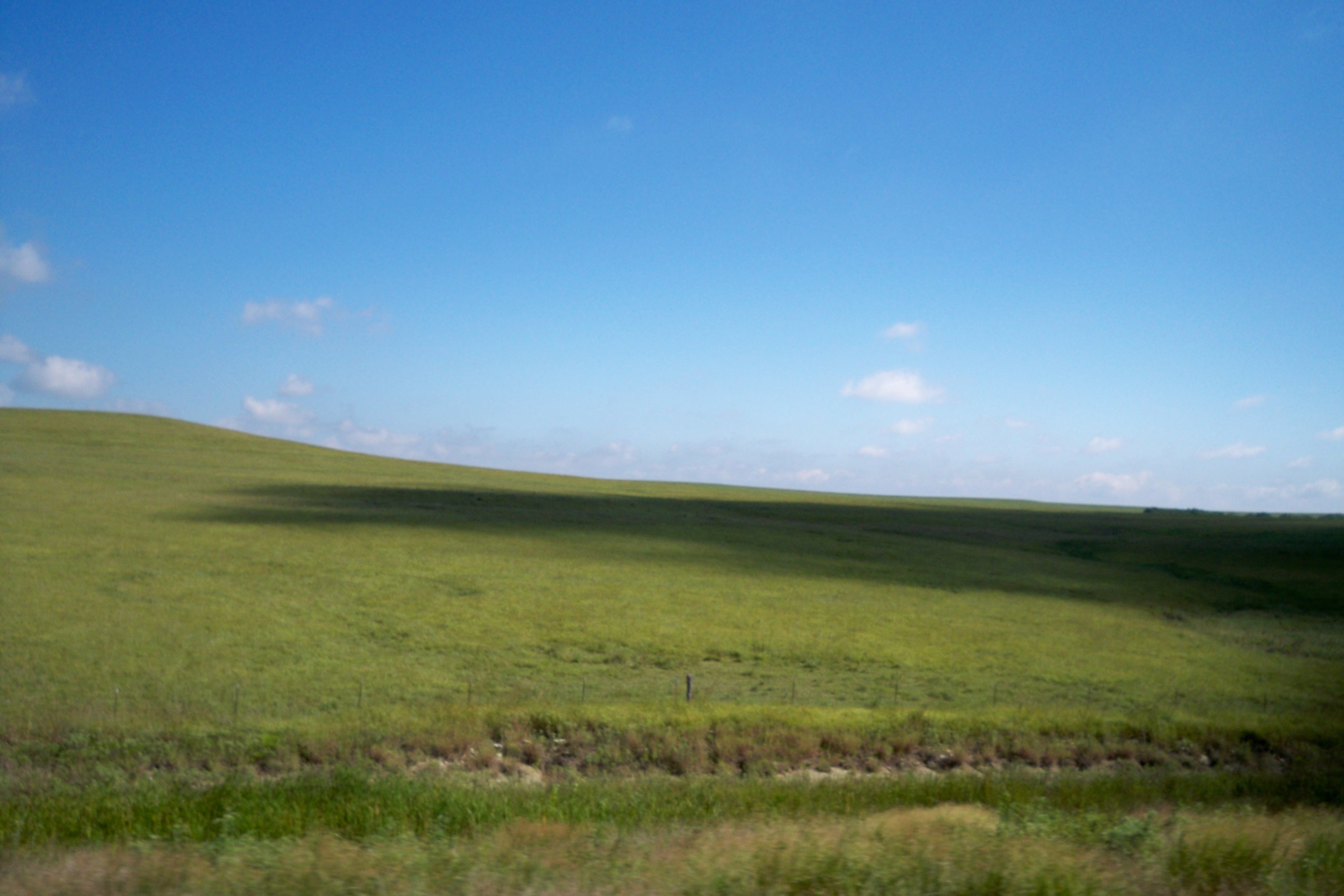
The Central Mexican Plateau, also known as the Mexican Altiplano ( es, Altiplanicie Mexicana), is a large arid-to-semiarid plateau that occupies much of northern and central Mexico. Averaging above sea level, it extends from the United States border in the north to the Trans-Mexican Volcanic Belt in the south, and is bounded by the and to the west and east, respectively. A low east-west mountain range in the state of Zacatecas divides the plateau into northern and southern sections. These two sections, called the Northern Plateau () and Central Plateau (), are now generally regarded by geographers as sections of one plateau. The Mexican Plateau is mostly covered by deserts and xeric shrublands, with pine-oak forests covering the surrounding mountain ranges and forming sky islands on some of the interior ranges. The Mexican Altiplano is one of six distinct physiographic sections of the Basin and Range Province, which in turn is part of the Intermontane Plateaus physiogra ... [...More Info...] [...Related Items...] OR: [Wikipedia] [Google] [Baidu] |
San Miguel De Allende, Guanajuato
San Miguel de Allende () is the principal city in the Municipalities of Mexico, municipality of San Miguel de Allende (municipality), San Miguel de Allende, located in the far eastern part of Guanajuato, Mexico. A part of the Bajío region, the city lies from Mexico City, 86 km (53 mi) from Querétaro City, Querétaro, and from the state capital of Guanajuato City, Guanajuato. The city's name derives from two persons: 16th-century friar Juan de San Miguel, and a martyr of Mexican Independence, Ignacio Allende, who was born in a house facing the city's central plaza. San Miguel de Allende was also a critical epicenter during the historic Chichimeca War (1540–1590) where the Chichimeca Confederation defeated the Spanish Empire in the initial colonization war. Today, an old section of the town is part of a proclaimed World Heritage Site, attracting thousands of tourists and new residents from abroad every year. At the beginning of the 20th century, the town was in dange ... [...More Info...] [...Related Items...] OR: [Wikipedia] [Google] [Baidu] |
Madrean Region
The Madrean Region (named after the Sierra Madre Occidental) is a floristic region within the Holarctic Kingdom in North America, as delineated by Armen Takhtajan and Robert F. Thorne. It occupies arid or semiarid areas in the southwestern United States and northwestern Mexico and is bordered by the Rocky Mountain Region and North American Atlantic Region of the Holarctic Kingdom in the north and in the east, Caribbean bioregion, Caribbean Region of the Neotropical Kingdom in the south. The Madrean Region is characterized by a very distinct flora with at least three endemism, endemic family (biology), families (Fouquieriaceae, Simmondsiaceae, and Setchellanthaceae). Crossosomataceae, Garryaceae, Lennoaceae, Limnanthaceae and Stegnospermataceae have their principal development here; for Onagraceae, Polemoniaceae and Hydrophyllaceae it is the major center of diversity. More than 250 genus, genera and probably more than half of the species of the region are Endemism, endemic to it acco ... [...More Info...] [...Related Items...] OR: [Wikipedia] [Google] [Baidu] |
Above Mean Sea Level
Height above mean sea level is a measure of the vertical distance (height, elevation or altitude) of a location in reference to a historic mean sea level taken as a vertical datum. In geodesy, it is formalized as ''orthometric heights''. The combination of unit of measurement and the physical quantity (height) is called "metres above mean sea level" in the metric system, while in United States customary and imperial units it would be called "feet above mean sea level". Mean sea levels are affected by climate change and other factors and change over time. For this and other reasons, recorded measurements of elevation above sea level at a reference time in history might differ from the actual elevation of a given location over sea level at a given moment. Uses Metres above sea level is the standard measurement of the elevation or altitude of: * Geographic locations such as towns, mountains and other landmarks. * The top of buildings and other structures. * Flying objects such ... [...More Info...] [...Related Items...] OR: [Wikipedia] [Google] [Baidu] |
Chihuahua Steppe
Chihuahua may refer to: Places *Chihuahua (state), a Mexican state **Chihuahua (dog), a breed of dog named after the state **Chihuahua cheese, a type of cheese originating in the state **Chihuahua City, the capital city of the state **Chihuahua Municipality, the municipality surrounding the city *Chihuahuan Desert, the second largest desert in North America **Chihuahua tradition, a proposed archaeological tradition for the region *Chihuahua, Uruguay, a resort in the Maldonado Department of Uruguay Songs * "Chihuahua" (song), a song by Louis Oliveira and His Bandodalua Boys, covered and made famous by DJ BoBo *"Chihuahua", a song by The Sugarcubes from the 1992 album ''Stick Around for Joy'' *"Chihuahua", a song by Bow Wow Wow from ''See Jungle! See Jungle! Go Join Your Gang, Yeah. City All Over! Go Ape Crazy'' *"Chihuahua", a song by Kaotiko (a punk-rock band from Basque country) from the 2003 album ''Raska y Pierde'' Other * ARM ''Chihuahua'', a ship of the Mexican Navy *Chihuahua ... [...More Info...] [...Related Items...] OR: [Wikipedia] [Google] [Baidu] |
Puebla
Puebla ( en, colony, settlement), officially Free and Sovereign State of Puebla ( es, Estado Libre y Soberano de Puebla), is one of the 32 states which comprise the Federal Entities of Mexico. It is divided into 217 municipalities and its capital is the city of Puebla. It is located in East-Central Mexico. It is bordered by the states of Veracruz to the north and east, Hidalgo, México, Tlaxcala and Morelos to the west, and Guerrero and Oaxaca to the south. The origins of the state lie in the city of Puebla, which was founded by the Spanish in this valley in 1531 to secure the trade route between Mexico City and the port of Veracruz. By the end of the 18th century, the area had become a colonial province with its own governor, which would become the State of Puebla, after the Mexican War of Independence in the early 19th century. Since that time the area, especially around the capital city, has continued to grow economically, mostly through industry, despite being the scene o ... [...More Info...] [...Related Items...] OR: [Wikipedia] [Google] [Baidu] |
Cuernavaca
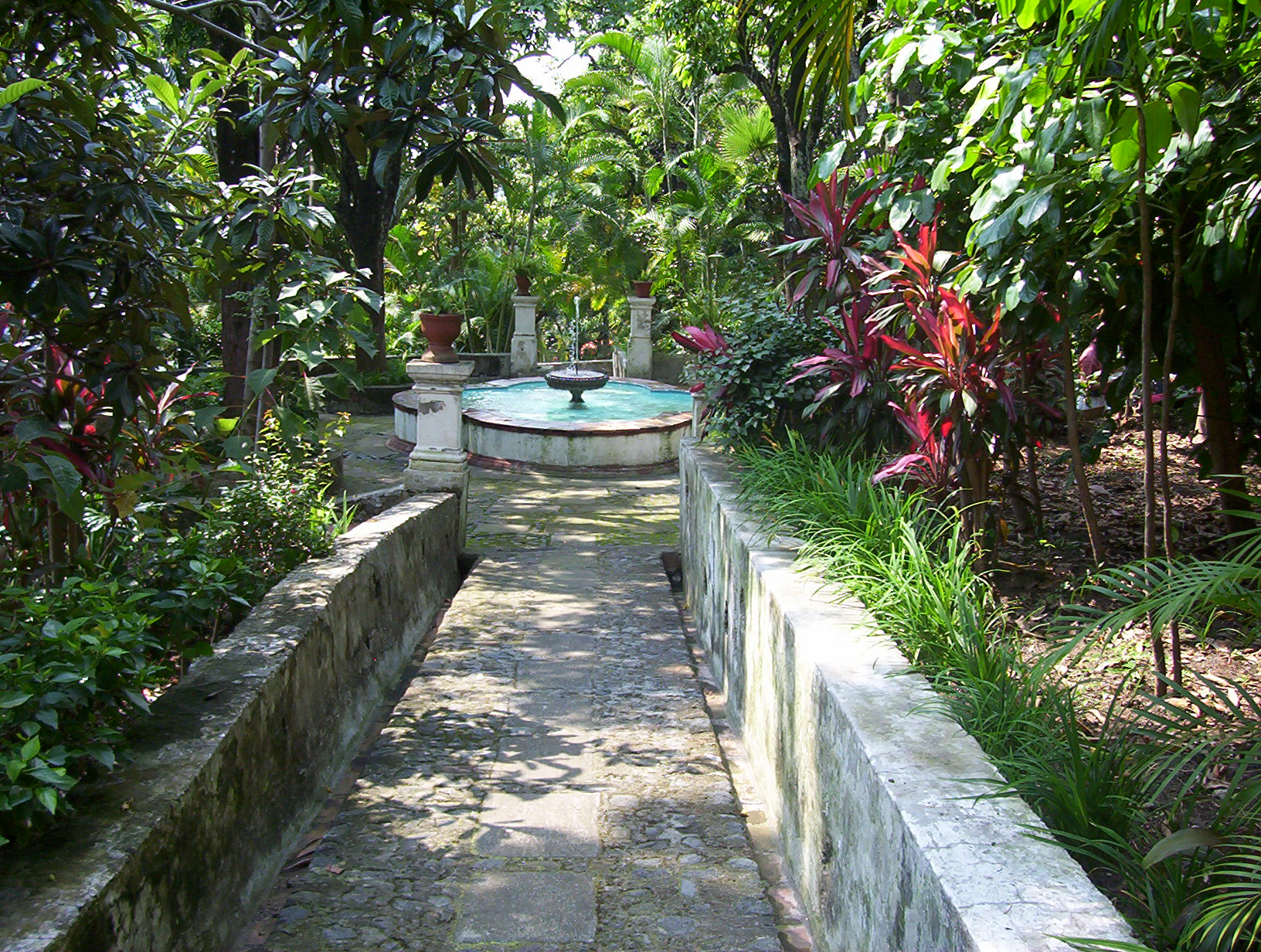
Cuernavaca (; nci-IPA, Cuauhnāhuac, kʷawˈnaːwak "near the woods", ) is the capital and largest city of the state of Morelos in Mexico. The city is located around a 90-minute drive south of Mexico City using the Federal Highway 95D. The name ''Cuernavaca'' is a euphonism derived from the Nahuatl toponym and means 'surrounded by or close to trees'. The name was Hispanicized to ''Cuernavaca''; Hernán Cortés called it ''Coadnabaced'' in his letters to Charles V, Holy Roman Emperor, and Bernal Díaz del Castillo used the name ''Cuautlavaca'' in his chronicles. The coat-of-arms of the municipality is based on the pre-Columbian pictograph emblem of the city which depicts a tree trunk () with three branches, with foliage, and four roots colored red. There is a cut in the trunk in the form of a mouth, from which emerges a speech scroll, probably representing the language Nahuatl and by extension the locative suffix , meaning 'near'. Cuernavaca has long been a favorite escape fo ... [...More Info...] [...Related Items...] OR: [Wikipedia] [Google] [Baidu] |
Toluca
Toluca , officially Toluca de Lerdo , is the States of Mexico, state capital of the State of Mexico as well as the seat of the Municipality of Toluca. With a population of 910,608 as of the 2020 census, Toluca is the fifth most populous city in Mexico. The city forms the core of the Greater Toluca metropolitan area, which with a combined population of 2,347,692 forms the Metropolitan areas of Mexico, fifth most populous metropolitan area in the country. Located southwest of Mexico City, the city's rapid growth stems largely from its proximity to the capital. Etymology When Toluca was founded by the Matlatzinca people, Matlatzincas, its original name was ''Nepintahihui'' (land of corn). The current name is based on the Náhuatl name for the area when it was renamed by the Aztecs in 1473. The name has its origin in the word ''tollocan'' that comes from the name of the god, ''Tolo'', plus the locative suffix, ''can'', to denote "place of Tolo". It is also referred to in a number o ... [...More Info...] [...Related Items...] OR: [Wikipedia] [Google] [Baidu] |
Mexico City
Mexico City ( es, link=no, Ciudad de México, ; abbr.: CDMX; Nahuatl: ''Altepetl Mexico'') is the capital and largest city of Mexico, and the most populous city in North America. One of the world's alpha cities, it is located in the Valley of Mexico within the high Mexican central plateau, at an altitude of . The city has 16 boroughs or ''demarcaciones territoriales'', which are in turn divided into neighborhoods or ''colonias''. The 2020 population for the city proper was 9,209,944, with a land area of . According to the most recent definition agreed upon by the federal and state governments, the population of Greater Mexico City is 21,804,515, which makes it the sixth-largest metropolitan area in the world, the second-largest urban agglomeration in the Western Hemisphere (behind São Paulo, Brazil), and the largest Spanish language, Spanish-speaking city (city proper) in the world. Greater Mexico City has a gross domestic product, GDP of $411 billion in 2011, which makes ... [...More Info...] [...Related Items...] OR: [Wikipedia] [Google] [Baidu] |
Morelia
Morelia (; from 1545 to 1828 known as Valladolid) is a city and municipal seat of the municipality of Morelia in the north-central part of the state of Michoacán in central Mexico. The city is in the Guayangareo Valley and is the capital and largest city of the state. The main pre-Hispanic cultures here were the Purépecha and the Matlatzinca, but no major cities were founded in the valley during this time. The Spanish took control of the area in the 1520s. The Spanish under Viceroy Antonio de Mendoza founded a settlement here in 1541 with the name of Valladolid, which became rival to the nearby city of Pátzcuaro for dominance in Michoacán. In 1580, this rivalry ended in Valladolid's favor and it became the capital of the viceregal province. After the Mexican War of Independence, the city was renamed Morelia in honor of José María Morelos, who hailed from the city. In 1991, the city was declared a UNESCO World Heritage Site for its well-preserved historical buildings and layo ... [...More Info...] [...Related Items...] OR: [Wikipedia] [Google] [Baidu] |
Querétaro City
Santiago de Querétaro (; Otomi: Dähnini Maxei), known simply as Querétaro City ( es, Ciudad de Querétaro), is the capital and largest city of the state of Querétaro, located in central Mexico. It is part of the macroregion of Bajío. It is northwest of Mexico City, southeast of San Miguel de Allende and south of San Luis Potosí. It is also the seat of the municipality of Querétaro, divided into seven boroughs. In 1996, the historic center of Querétaro was declared a World Heritage Site by the UNESCO. The city is a strong business and economic center and a vigorous service center that is experiencing an ongoing social and economic revitalization. All this has resulted in high levels of migration from other parts of Mexico. Querétaro has seen outstanding industrial and economic development since the mid-1990s. Querétaro metropolitan area has the 2nd highest GDP per capita among Mexico's metropolitan areas with US$20,000 after Monterrey. The city is the fastest-growing i ... [...More Info...] [...Related Items...] OR: [Wikipedia] [Google] [Baidu] |
León, Guanajuato
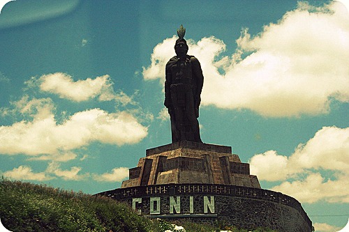
() , coordinates = , subdivision_type = Country , subdivision_name = , subdivision_type1 = Political divisions of Mexico, State , subdivision_name1 = , established_title = Founded , established_date = January 20, 1576 , established_title1 = Founded as , established_date1 = ''Villa de León'' , founder = Martín Enríquez de Almanza , leader_party = , leader_title = Mayor , leader_name = Alejandra Gutiérrez Campos , area_land_km2 = 1219.67 , elevation_m = 1815 , population_total = 1721199 , population_footnotes = , population_as_of = 2020 Census , pop_est_as_of = 2020 , pop_est_footnotes = , population_est = 1721199 , p ... [...More Info...] [...Related Items...] OR: [Wikipedia] [Google] [Baidu] |
Guadalajara
Guadalajara ( , ) is a metropolis in western Mexico and the capital of the list of states of Mexico, state of Jalisco. According to the 2020 census, the city has a population of 1,385,629 people, making it the 7th largest city by population in Mexico, while the Guadalajara metropolitan area has a population of 5,268,642 people, making it the Metropolitan areas of Mexico#List of metropolitan areas in Mexico by population, third-largest metropolitan area in the country and the List of metropolitan areas in the Americas, twentieth largest metropolitan area in the Americas Guadalajara has the second-highest population density in Mexico, with over 10,361 people per square kilometer. Within Mexico, Guadalajara is a center of business, arts and culture, technology and tourism; as well as the economic center of the Bajío region. It usually ranks among the 100 most productive and globally competitive cities in the world. It is home to numerous landmarks, including Guadalajara Cathedral, th ... [...More Info...] [...Related Items...] OR: [Wikipedia] [Google] [Baidu] |


.jpg)