|
Alsek Glacier
Alsek Glacier is a long glacier in Glacier Bay National Park in the Panhandle of Alaska (USA). The name ''Alsek'' is of Tlingit origin and may mean "place where people rest". Glacier was named in 1901 by U.S. Navy Lieutenant Commander Moser, commander of the U.S. Bureau of Fisheries steamer USS ''Albatross''. Geography The glacial feeding area is located northwest of Mount Hay on the west flank of the Fairweather Range at an altitude of 1200 m. The 1.2 km wide glacier flows west to Alsek Lake, which forms its glacier edge lake and flows through the Alsek River. Glacier development The Alsek Glacier retreated about 3.5 km in the 20th century. As a result, the ice front split on a rock in two glacier tongues. The lake area of Alsek Lake doubled in size in the same period. See also * List of glaciers in the United States This is a list of glaciers existing in the United States, currently or in recent centuries. These glaciers are located in nine states, all in the Rock ... [...More Info...] [...Related Items...] OR: [Wikipedia] [Google] [Baidu] |
Glacier Bay National Park
Glacier Bay National Park and Preserve is an American national park located in Southeast Alaska west of Juneau. President Calvin Coolidge proclaimed the area around Glacier Bay a national monument under the Antiquities Act on February 26, 1925. Chapter 8 Subsequent to an expansion of the monument by President Jimmy Carter in 1978, the Alaska National Interest Lands Conservation Act (ANILCA) enlarged the national monument by on December 2, 1980, and created Glacier Bay National Park and Preserve. Title 2, section 202(1). The national preserve encompasses of public land to the immediate northwest of the park, protecting a portion of the Alsek River with its fish and wildlife habitats, while allowing sport hunting. Glacier Bay became part of a binational UNESCO World Heritage Site in 1979, and was inscribed as a Biosphere Reserve in 1986. The National Park Service undertook an obligation to work with Hoonah and Yakutat Tlingit Native American organizations in the management of the ... [...More Info...] [...Related Items...] OR: [Wikipedia] [Google] [Baidu] |
Alaska
Alaska ( ; russian: Аляска, Alyaska; ale, Alax̂sxax̂; ; ems, Alas'kaaq; Yup'ik: ''Alaskaq''; tli, Anáaski) is a state located in the Western United States on the northwest extremity of North America. A semi-exclave of the U.S., it borders the Canadian province of British Columbia and the Yukon territory to the east; it also shares a maritime border with the Russian Federation's Chukotka Autonomous Okrug to the west, just across the Bering Strait. To the north are the Chukchi and Beaufort Seas of the Arctic Ocean, while the Pacific Ocean lies to the south and southwest. Alaska is by far the largest U.S. state by area, comprising more total area than the next three largest states (Texas, California, and Montana) combined. It represents the seventh-largest subnational division in the world. It is the third-least populous and the most sparsely populated state, but by far the continent's most populous territory located mostly north of the 60th parallel, with ... [...More Info...] [...Related Items...] OR: [Wikipedia] [Google] [Baidu] |
Tlingit
The Tlingit ( or ; also spelled Tlinkit) are indigenous peoples of the Pacific Northwest Coast of North America. Their language is the Tlingit language (natively , pronounced ),"Lingít Yoo X'atángi: The Tlingit Language." ''Sealaska Heritage Institute.'' (retrieved 3 December 2009) in which the name means 'People of the Tides'.Pritzker, 208 The Russian name ' (, from a Sugpiaq-Alutiiq term ' for the worn by women) or the related German name ' may be encountered referring to the people in older historical literature, such as |
USS Albatross (1882)
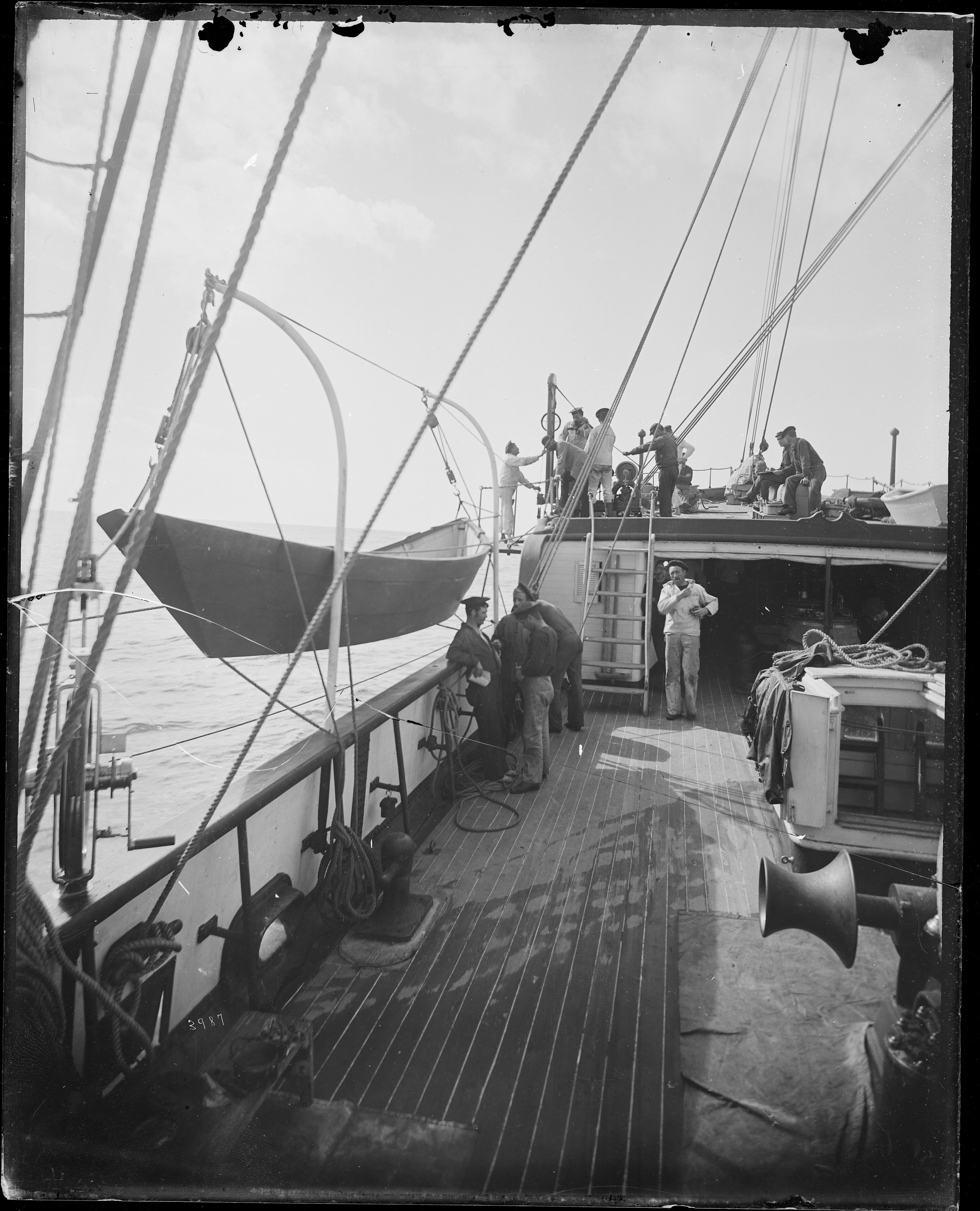
The second USS ''Albatross'', often seen as ''USFC Albatross'' in scientific literature citations, was an iron-hulled, twin-screw steamer in the United States Navy and reputedly the first research vessel ever built especially for marine research. ''Albatross'' was laid down at Wilmington, Delaware, by Pusey and Jones in March 1882; launched on 19 August 1882, and commissioned on 11 November 1882, with Lt. Zera L. Tanner in command. Tanner, who had superintended the ship's design and construction, would command ''Albatross'', a Navy-crewed vessel assigned to the United States Fish Commission, a civilian government agency, for nearly 12 years. Early years Following trial operations between Wilmington and Washington, D.C. from 30 December 1882 to 13 February 1883, ''Albatross'' returned to her builder's yard for engine alterations. While steaming back to Washington, the ship experimented with her dredging equipment, and arrived at the nation's capital on 25 March 1883. She left th ... [...More Info...] [...Related Items...] OR: [Wikipedia] [Google] [Baidu] |
Mount Hay (Yakutat)
Mount Hay, also named Boundary Peak 167, is a mountain in Alaska and British Columbia, located on the Canada–United States border, and part of the Fairweather Range of the Saint Elias Mountains. It was named in 1923 for John Milton Hay (1838-1905), author and diplomat. In 1903, John Hay helped negotiate the treaty resulting in Alaska Boundary Tribunal. See also *List of Boundary Peaks of the Alaska-British Columbia/Yukon border A ''list'' is any set of items in a row. List or lists may also refer to: People * List (surname) Organizations * List College, an undergraduate division of the Jewish Theological Seminary of America * SC Germania List, German rugby union ... References Mountains of Alaska Two-thousanders of British Columbia Saint Elias Mountains Canada–United States border International mountains of North America Mountains of Yakutat City and Borough, Alaska {{YakutatAK-geo-stub ... [...More Info...] [...Related Items...] OR: [Wikipedia] [Google] [Baidu] |
Fairweather Range
The Fairweather Range is the unofficial name for a mountain range located in the U.S. state of Alaska and the Canadian province of British Columbia. It is the southernmost range of the Saint Elias Mountains. The northernmost section of the range is situated in Tatshenshini-Alsek Provincial Park while the southernmost section resides in Glacier Bay National Park, in the Hoonah-Angoon Census Area. In between it goes through the southeastern corner of Yakutat Borough. Peaks of this range include Mount Fairweather (the highest point in British Columbia) and Mount Quincy Adams . The range is home to the Fairweather Fault, an active geologic transform fault of the larger Queen Charlotte Fault along the boundary between the Pacific and North American plates. Mountains *Mount Crillon *Mount Fairweather *Mount La Perouse *Mount Orville * Mount Quincy Adams * Mount Wilbur Panorama See also *Alsek Ranges - mountain range to the east *Centennial Range The Centennial Range is a sub-rang ... [...More Info...] [...Related Items...] OR: [Wikipedia] [Google] [Baidu] |
Alsek River
The Alsek River (; Tlingit ''Aalseix̱' '') is a wilderness river flowing from Yukon into Northern British Columbia and into Alaska. It enters the Gulf of Alaska at Dry Bay. Most of the Alsek River's basin is within protected wilderness areas and National Parks. The Alsek and its main tributary, the Tatshenshini River, are part of the Canadian Heritage Rivers System and a UNESCO World Heritage Site. In the year 2016, the Alsek River captured the flow of the Slims River due to the retreat of Kaskawulsh Glacier. Researchers attributed the change in flow to human-caused climate change; this was the first time human-caused climate change was implicated in the reorganization of a river. Research indicates that in a few decades, Alsek River may further change its final course. The rapidly retreating Grand Plateau Glacier separates Alsek River and lake from nearby Grand Plateau Lake. Geologists predict that when the two lakes merge, Alsek River will abandon its current outlet in ... [...More Info...] [...Related Items...] OR: [Wikipedia] [Google] [Baidu] |
List Of Glaciers In The United States
This is a list of glaciers existing in the United States, currently or in recent centuries. These glaciers are located in nine states, all in the Rocky Mountains or farther west. The southernmost named glacier among them is the Lilliput Glacier in Tulare County, east of the Central Valley of California. Glaciers of Alaska There are approximately 664 named glaciers in Alaska according to the Geographic Names Information System (GNIS). * Agassiz Glacier - Saint Elias Mountains * Aialik Glacier - Kenai Peninsula * Alsek Glacier - Glacier Bay * Aurora Glacier - Glacier Bay * Bacon Glacier *Barnard Glacier * Bear Glacier - Aialik Peninsula, Resurrection Bay *Bering Glacier * Black Rapids *Brady Glacier *Brooks Glacier - Alaska Range *Buckskin Glacier - Alaska Range * Burns Glacier (Alaska) - Kenai Mountains *Byron Glacier - Kenai Mountains * Caldwell Glacier - Alaska Range *Cantwell Glacier - Alaska Range *Carroll Glacier - Glacier Bay *Casement Glacier - Glacier Bay *Cast ... [...More Info...] [...Related Items...] OR: [Wikipedia] [Google] [Baidu] |
Glaciers Of Glacier Bay National Park And Preserve
A glacier (; ) is a persistent body of dense ice that is constantly moving under its own weight. A glacier forms where the accumulation of snow exceeds its ablation over many years, often centuries. It acquires distinguishing features, such as crevasses and seracs, as it slowly flows and deforms under stresses induced by its weight. As it moves, it abrades rock and debris from its substrate to create landforms such as cirques, moraines, or fjords. Although a glacier may flow into a body of water, it forms only on land and is distinct from the much thinner sea ice and lake ice that form on the surface of bodies of water. On Earth, 99% of glacial ice is contained within vast ice sheets (also known as "continental glaciers") in the polar regions, but glaciers may be found in mountain ranges on every continent other than the Australian mainland, including Oceania's high-latitude oceanic island countries such as New Zealand. Between latitudes 35°N and 35°S, glaciers occur only in ... [...More Info...] [...Related Items...] OR: [Wikipedia] [Google] [Baidu] |
Glaciers Of Hoonah–Angoon Census Area, Alaska
A glacier (; ) is a persistent body of dense ice that is constantly moving under its own weight. A glacier forms where the accumulation of snow exceeds its ablation over many years, often centuries. It acquires distinguishing features, such as crevasses and seracs, as it slowly flows and deforms under stresses induced by its weight. As it moves, it abrades rock and debris from its substrate to create landforms such as cirques, moraines, or fjords. Although a glacier may flow into a body of water, it forms only on land and is distinct from the much thinner sea ice and lake ice that form on the surface of bodies of water. On Earth, 99% of glacial ice is contained within vast ice sheets (also known as "continental glaciers") in the polar regions, but glaciers may be found in mountain ranges on every continent other than the Australian mainland, including Oceania's high-latitude oceanic island countries such as New Zealand. Between latitudes 35°N and 35°S, glaciers occur only in ... [...More Info...] [...Related Items...] OR: [Wikipedia] [Google] [Baidu] |


