|
Ada County, Idaho
Ada County is located in the southwestern part of Idaho, United States. As of the 2021 United States census estimate, the county had a population of 511,931, making it by far the state's most populous county; it is home to 26.8% of the state's population. The county seat and largest city is Boise, which is also the state capital. Ada County is included in the Boise metropolitan area. The Ada County Highway District has jurisdiction over all the local county and city streets, except for private roads and state roads. In the interior Pacific Northwest east of the Cascade Range, Ada County ranks second in population, behind Spokane County, Washington. History Ada County was created by the Idaho Territory legislature on December 22, 1864, partitioned from Boise County. It is named for Ada Riggs, the daughter of H.C. Riggs, a member of the legislature; he established the county and was a co-founder of Boise. Canyon County, which originally included Payette County and most of Ge ... [...More Info...] [...Related Items...] OR: [Wikipedia] [Google] [Baidu] |
Boise, Idaho
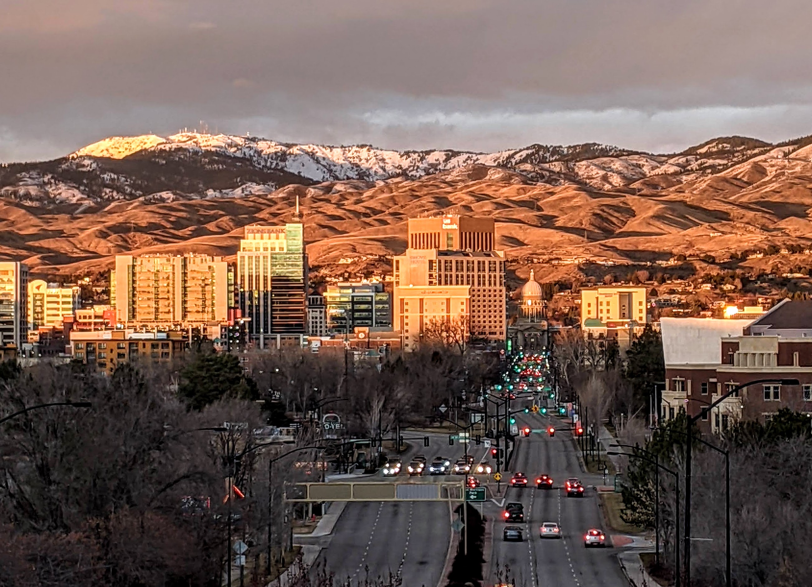
Boise (, , ) is the capital and most populous city of the U.S. state of Idaho and is the county seat of Ada County. On the Boise River in southwestern Idaho, it is east of the Oregon border and north of the Nevada border. The downtown area's elevation is above sea level. The population according to the 2020 US Census was 235,684. The Boise metropolitan area, also known as the Treasure Valley, includes five counties with a combined population of 749,202, the most populous metropolitan area in Idaho. It contains the state's three largest cities: Boise, Nampa, and Meridian. Boise is the 77th most populous metropolitan statistical area in the United States. Downtown Boise is the cultural center and home to many small businesses and a number of high-rise buildings. The area has a variety of shops and restaurants. Centrally, 8th Street contains a pedestrian zone with sidewalk cafes and restaurants. The neighborhood has many local restaurants, bars, and boutiques. The are ... [...More Info...] [...Related Items...] OR: [Wikipedia] [Google] [Baidu] |
Boise River
The Boise River is a U.S. Geological Survey. National Hydrography Dataset high-resolution flowline data. , accessed May 3, 2011 tributary of the Snake River in the Northwestern United States. It drains a rugged portion of the Sawtooth Range in southwestern Idaho northeast of Boise, as well as part of the western Snake River Plain. The watershed encompasses approximately of highly diverse habitats, including alpine canyons, forest, rangeland, agricultural lands, and urban areas. Description The Boise River rises in three separate forks in the Sawtooth Range at elevations exceeding , and is formed by the confluence of its North and Middle forks. The North Fork, long, rises in the Sawtooth Wilderness Area, along the Boise– Elmore county line, northeast of Boise. It flows generally southwest through the remote mountains in the Boise National Forest. The Middle Fork, approximately in length, rises within of the North Fork in the southern Sawtooth Wilderness Area in northeastern ... [...More Info...] [...Related Items...] OR: [Wikipedia] [Google] [Baidu] |
Idaho State Highway 16
State Highway 16 (SH-16) in Idaho is a route, connecting Emmett with US-20/ US-26 and Star. Route description Also known as the Central Valley Expressway and the Emmett Highway, Highway 16 begins at the junction of US-20/ US-26. It meets at a junction with State Highway 44, with Star to the West, and Eagle to the East. The highway continues north through Jackass Gulch and descends over 500 vertical feet (150 m) on the Freezeout Grade into the Emmett Valley. The highway then curves westward for a short distance, where it terminates at the junction with State Highway 52 just south of the Emmett city limits . History This route has been in existence since 1929. Originally, the alignment terminated in Horseshoe Bend. In 1938, the northern section of the alignment from Emmett to Horseshoe Bend was then replaced by State Highway 52. When this happened, the highway then realigned to the west, terminating in Payette. The route was truncated at its current terminus in Emmett in 195 ... [...More Info...] [...Related Items...] OR: [Wikipedia] [Google] [Baidu] |
US 30
U.S. Route 30 or U.S. Highway 30 (US 30) is an east–west main route in the system of the United States Numbered Highways, with the highway traveling across the northern tier of the country. With a length of , it is the third longest U.S. highway, after US 20 and US 6. The western end of the highway is at US 101 in Astoria, Oregon; the eastern end is at Virginia Avenue, Absecon Boulevard, and Adriatic Avenue in Atlantic City, New Jersey. The "0" as the last digit in the number indicates that it is a coast-to-coast route and a major east-west route. Despite long stretches of parallel and concurrent Interstate Highways, it has not been decommissioned unlike other long haul routes such as US 66. It's also the only route that has always been coast-to-coast since the beginning of US highways. Much of the historic Lincoln Highway, the first road across the United States (from New York City to San Francisco), became part of US 30; it is still kno ... [...More Info...] [...Related Items...] OR: [Wikipedia] [Google] [Baidu] |
US 26
U.S. Route 26 (US 26) is an east–west United States highway that runs from Seaside, Oregon to Ogallala, Nebraska. When the U.S. highway system was first defined, it was limited to Nebraska and Wyoming; by the 1950s, it continued into Idaho and Oregon. The highway's eastern terminus is in Ogallala, Nebraska at an intersection with Interstate 80. Its western terminus is south of Seaside, Oregon at an intersection with U.S. Route 101. Prior to 2004, the route's last 20 miles (32 km) were co-signed with U.S. Route 101 from the highways' junction south of Seaside north to Astoria where its intersection with U.S. Route 30 was also U.S. 30's western terminus. Long segments of the highway follow the historic Oregon Trail. At its peak, immediately before the establishment of the Interstate Highway System, US 26 was 1,557 miles (2506 km) in length, and terminated in Astoria, Oregon. Route description Oregon Starting at a junction with U.S. Highway 101 near Seaside, Oregon, ... [...More Info...] [...Related Items...] OR: [Wikipedia] [Google] [Baidu] |
US 20
U.S. Route 20 or U.S. Highway 20 (US 20) is an east–west United States Numbered Highway that stretches from the Pacific Northwest east to New England. The "0" in its route number indicates that US 20 is a major coast-to-coast route. Spanning , it is the longest road in the United States, and, in the east, the route is roughly parallel to that of the newer Interstate 90 (I-90), which is the longest Interstate Highway in the U.S. There is a discontinuity in the official designation of US 20 through Yellowstone National Park, with unnumbered roads used to traverse the park. US 20 and US 30 break the general U.S. Route numbering rules in Oregon, since US 30 actually starts north of US 20 in Astoria, and runs parallel to the north throughout the state (the Columbia River and Interstate 84). The two run concurrently and continue in the correct positioning near Caldwell, Idaho. This is because US 20 was not a planned coast-to-coast route while US ... [...More Info...] [...Related Items...] OR: [Wikipedia] [Google] [Baidu] |
Interstate 184
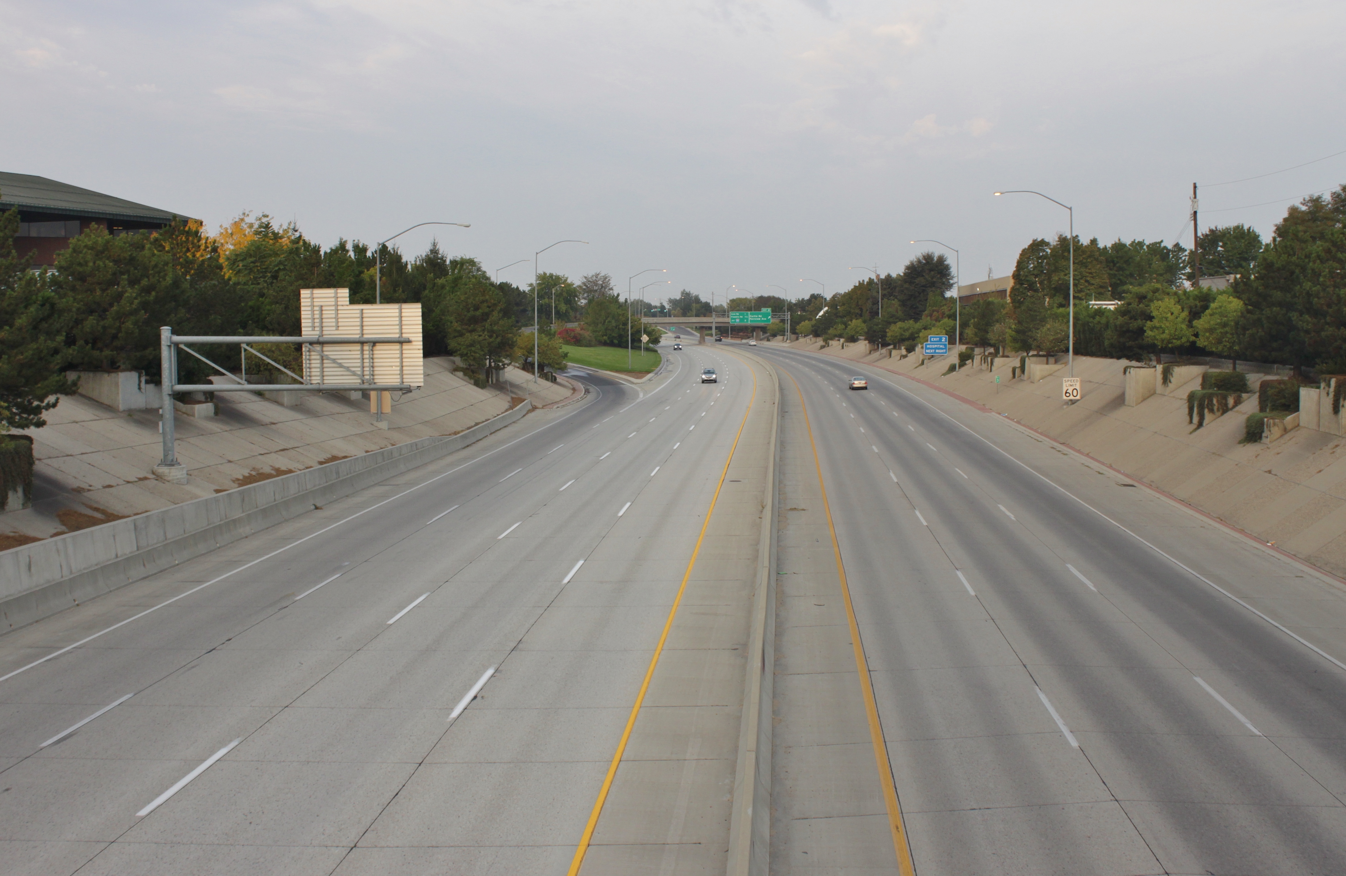
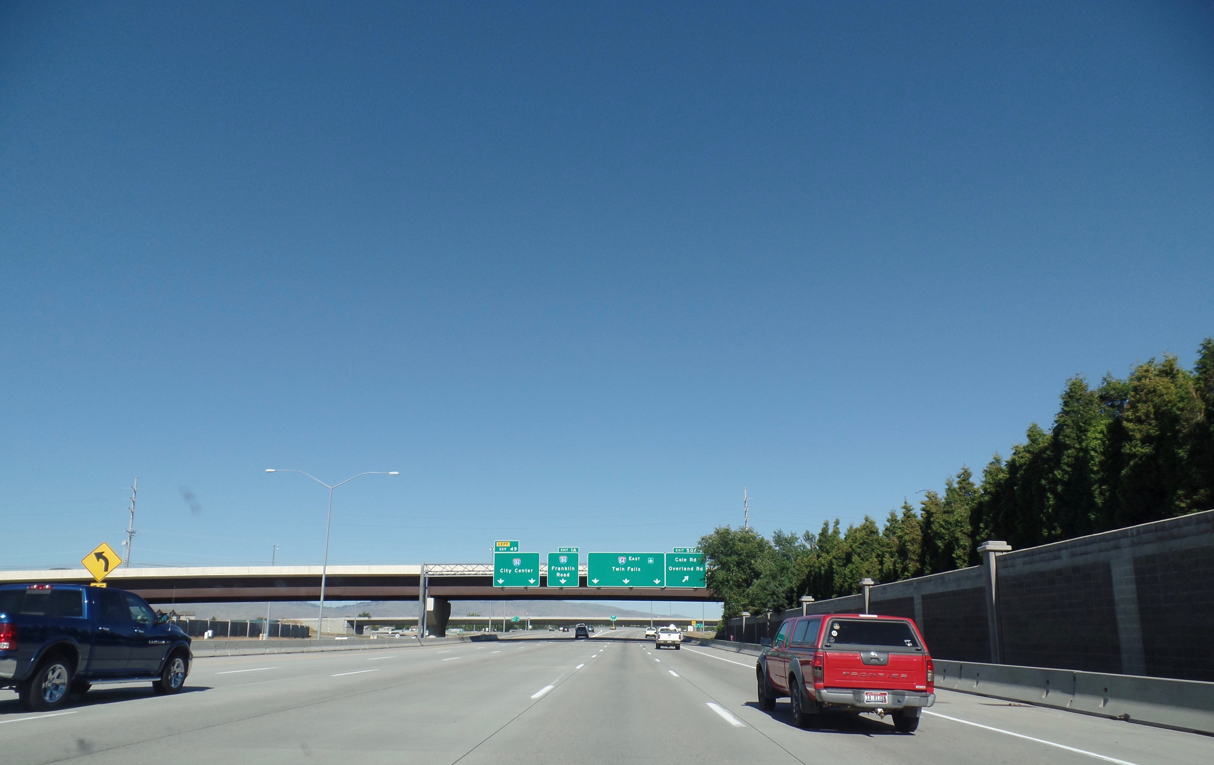
Interstate 184 (I-184) is a short auxiliary Interstate Highway in Boise, Idaho, United States. It is a spur route of I-84 that connects the freeway to Downtown Boise, terminating at US Highway 20 (US 20) and US 26. Route description I-184, also known as the Boise Connector, begins at the "Flying Wye" interchange with I-84 and US 30 in southwestern Boise. The six-lane freeway travels northeast through suburban Boise, crossing over a spur railroad near an interchange with Franklin Street on the south side of the Boise Towne Square shopping mall. I-184 intersects Curtis Road near the Saint Alphonsus Regional Medical Center and turns due east along Fairview Avenue, which acts as a frontage road. On the west side of the Boise River in Rotary Park, I-184 terminates after an interchange with US 20 and US 26, which serve northwestern Boise on Chinden Boulevard. US 20 and US 26 supersede I-184 and cross into Downtown Boise, where it ... [...More Info...] [...Related Items...] OR: [Wikipedia] [Google] [Baidu] |
I-184
Interstate 184 (I-184) is a short auxiliary Interstate Highway in Boise, Idaho, United States. It is a spur route of I-84 that connects the freeway to Downtown Boise, terminating at US Highway 20 (US 20) and US 26. Route description I-184, also known as the Boise Connector, begins at the "Flying Wye" interchange with I-84 and US 30 in southwestern Boise. The six-lane freeway travels northeast through suburban Boise, crossing over a spur railroad near an interchange with Franklin Street on the south side of the Boise Towne Square shopping mall. I-184 intersects Curtis Road near the Saint Alphonsus Regional Medical Center and turns due east along Fairview Avenue, which acts as a frontage road. On the west side of the Boise River in Rotary Park, I-184 terminates after an interchange with US 20 and US 26, which serve northwestern Boise on Chinden Boulevard. US 20 and US 26 supersede I-184 and cross into Downtown Boise, where it ... [...More Info...] [...Related Items...] OR: [Wikipedia] [Google] [Baidu] |
Interstate 84 In Idaho
Interstate 84 (I-84) in the U.S. state of Idaho is a major Interstate Highway that traverses the state from the Oregon state line in the northwest to Utah state line in the southeast. It primarily follows the Snake River across a plain that includes the cities of Boise, Mountain Home, and Twin Falls. The highway is one of the busiest in Idaho and is designated as the Vietnam Veterans Memorial Highway. I-84 runs for within Idaho, beginning near Ontario, Oregon, and traveling concurrent with several U.S. routes through the Boise metropolitan area and Mountain Home towards Twin Falls. I-84 splits away from US 30 and the Snake River at a junction with I-86 near Declo, where it turns southeast to cross the Sublett Range into northern Utah. The highway has an auxiliary route, I-184, which serves downtown Boise. Route description I-84 is the longest Interstate highway in Idaho, running for and connecting several of the state's largest metropolitan areas. It has a single au ... [...More Info...] [...Related Items...] OR: [Wikipedia] [Google] [Baidu] |
I-84
Interstate 84 may refer to: * Interstate 84 (Oregon–Utah), passing through Idaho, formerly known as Interstate 80N * Interstate 84 (Pennsylvania–Massachusetts) Interstate 84 (I-84) is an Interstate Highway in the Northeastern United States that extends from Dunmore, Pennsylvania, (near Scranton) at an interchange with I-81 east to Sturbridge, Massachusetts, at an interchange with the Massachusett ..., passing through New York and Connecticut {{road disambiguation 84 ... [...More Info...] [...Related Items...] OR: [Wikipedia] [Google] [Baidu] |


