|
A312 Road
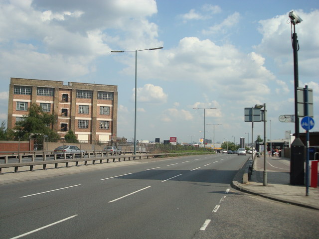
The A312 is an A road in England, running across west London from Hampton to Harrow. Its status varies from a local urban street to a major dual carriageway in Hayes. Part the road has been diverted to make way for Heathrow Airport, while another stretch was originally planned to be Ringway 3, one of four major ring motorways around London. Route The road is part primary, part non-primary, which reflects its status as a mix of local and regionally important traffic. The primary section of the road, under the name The Parkway (and part of it as Hayes Bypass), is a 5-mile dual carriageway trunk road with speed limits of 30 to 50 mph, running north–south from Northolt's Target Roundabout to the A30 interchange in Hatton. The non-primary section is mostly a single carriageway and consist of urban roads, particularly the northern part, where it serves as the main road through Northolt and South Harrow. The southern end goes through more residential areas and ends at the f ... [...More Info...] [...Related Items...] OR: [Wikipedia] [Google] [Baidu] |
Hayes, Hillingdon
Hayes is a town in west London, historically situated within the county of Middlesex, and now part of the London Borough of Hillingdon. The town's population, including its localities Hayes End, Harlington and Yeading, was recorded as 83,564 in the 2011 census. It is situated west of Charing Cross, or east of Slough. The Grand Union Canal flows through the heart of Hayes, accompanied by the Great Western Main Line and significant industry, a town centre, residential areas and country parks. Hayes has a long history. The area appears in the ''Domesday Book'' (1086). Landmarks in the area include the Grade II* listed Parish Church, St Mary's – the central portion of the church survives from the twelfth century and it remains in use (the church dates back to 830 A.D.) – and Barra Hall, a Grade II listed manor house. The town's oldest public house – the Adam and Eve, on the Uxbridge Road – though not the original seventeenth-century structure, has remained on the same s ... [...More Info...] [...Related Items...] OR: [Wikipedia] [Google] [Baidu] |
Hampton Court Palace
Hampton Court Palace is a Grade I listed royal palace in the London Borough of Richmond upon Thames, southwest and upstream of central London on the River Thames. The building of the palace began in 1514 for Cardinal Thomas Wolsey, the chief minister of Henry VIII. In 1529, as Wolsey fell from favour, the cardinal gave the palace to the king to check his disgrace. The palace went on to become one of Henry's most favoured residences; soon after acquiring the property, he arranged for it to be enlarged so that it might more easily accommodate his sizeable retinue of courtiers. Along with St James' Palace, it is one of only two surviving palaces out of the many the king owned. The palace is currently in the possession of King Charles III and the Crown. In the following century, King William III's massive rebuilding and expansion work, which was intended to rival the Palace of Versailles, destroyed much of the Tudor palace.Dynes, p. 90. His work ceased in 1694, leaving the pa ... [...More Info...] [...Related Items...] OR: [Wikipedia] [Google] [Baidu] |
London Borough Of Hounslow
The London Borough of Hounslow () is a London borough in West London, England, forming part of Outer London. It was created in 1965 when three smaller borough councils (forming part of the former Middlesex County Council area) amalgamated under the London Government Act 1963. It is governed by Hounslow London Borough Council. The borough stretches from near Central London in the east (Chiswick) to the border with Surrey in the west (Feltham and Bedfont), covering five major towns: Chiswick (W4), Brentford (TW8), Isleworth (TW7), Hounslow (TW3, TW4, TW5) and Feltham (TW13, TW14); it borders the boroughs of Richmond upon Thames, Hammersmith and Fulham, Ealing and Hillingdon, in addition to the Spelthorne district of Surrey. The Borough is home to the London Museum of Water & Steam and the attractions of Osterley Park, Gunnersbury Park, Syon House, and Chiswick House. Moreover, landmarks straddling the border of Hounslow include; Twickenham Stadium and London Heathrow Airport in t ... [...More Info...] [...Related Items...] OR: [Wikipedia] [Google] [Baidu] |
M4 Motorway
The M4, originally the London-South Wales Motorway, is a motorway in the United Kingdom running from west London to southwest Wales. The English section to the Severn Bridge was constructed between 1961 and 1971; the Welsh element was largely complete by 1980, though a non-motorway section around Briton Ferry bridge remained until 1993. On the opening of the Second Severn Crossing in 1996, the M4 was rerouted over it. The line of the motorway from London to Bristol runs closely in parallel with the A4 road (England), A4. After crossing the River Severn, toll-free since 17 December 2018, the motorway follows the A48 road (Great Britain), A48, to terminate at the Pont Abraham services in Carmarthenshire. The M4 is the only motorway in Wales apart from its two Spur route, spurs: the A48(M) motorway, A48(M) and the M48 motorway, M48. The major towns and cities along the routea distance of approximately include Slough, Reading, Berkshire, Reading, Swindon, Bristol, Newport, Wales, ... [...More Info...] [...Related Items...] OR: [Wikipedia] [Google] [Baidu] |
Western Avenue, London
Western Avenue is part of the A40, a major road running in a north-westerly direction out of London. Western Avenue is approximately long from its junction with Old Oak Common Lane in East Acton. A notable landmark on Western Avenue at Perivale, near Greenford, is the Art Deco Hoover Building, now a Tesco supermarket and 66 homes. History The road was first proposed in 1912 as a bypass of Uxbridge Road, part of the historic coaching road from London to Oxford. Construction began in 1921 and continued throughout the 1920s and 30s. It was completed to Denham in 1943. When first constructed, all intersections with other roads were flat junctions with roundabouts, resulting in significant congestion at busy periods. In the early 1960s, the Hanger Lane junction was improved, with an underpass built to take Western Avenue under the A406.The Automobile Association, ''Illustrated Road Book of England and Wales (Fourth Edition)'' (1966). Then, during the 1980s and early 1990s, the ... [...More Info...] [...Related Items...] OR: [Wikipedia] [Google] [Baidu] |
Old Southall
Southall () is a large suburban county of West London, England, part of the London Borough of Ealing and is one of its seven major towns. It is situated west of Charing Cross and had a population of 69,857 as of 2011. It is generally divided in three parts: the mostly residential area around Lady Margaret Road (Dormers Wells); the main commercial centre at High Street and Southall Broadway (part of the greater Uxbridge Road); and Old Southall/Southall Green to the south consisting of Southall railway station, industries and Norwood Green bounded by the M4. It was historically a municipal borough of Middlesex administered from Southall Town Hall until 1965. Southall is located on the Grand Union Canal (formerly the Grand Junction Canal) which first linked London with the rest of the growing canal system. It was one of the last canals to carry significant commercial traffic (through the 1950s) and is still open to traffic and is used by pleasure craft. The canal separates it fr ... [...More Info...] [...Related Items...] OR: [Wikipedia] [Google] [Baidu] |
Yeading
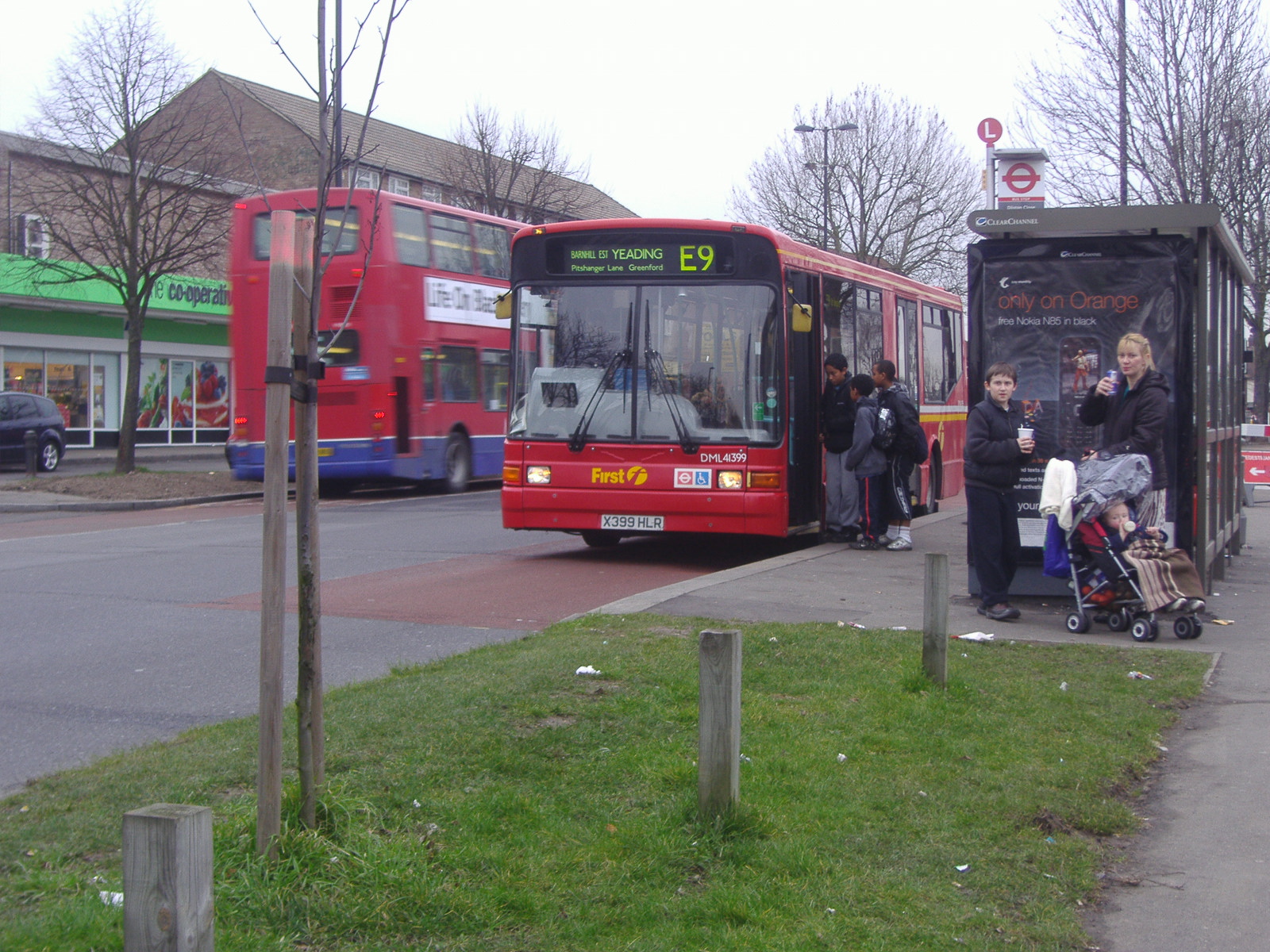
Yeading ( ) is a settlement in west London, forming part of the London Borough of Hillingdon, having been developed after the Second World War. Etymology Yeading is very early Saxon and was originally ''Geddingas'' or ''Geddinges'', meaning "the people of Geddi".Catherine Kelter, ''Hayes: A Concise History'' (Hillingdon Borough Libraries, 1988), p. 9. History The earliest surviving documented allusion to Yeading dates from 757 AD, in which year Æthelbald of Mercia made a land grant which mentioned ''Geddinges'' (Yeading) and ''Fiscesburne'' (Crane or Yeading Brook). The first land grant including Yeading was made by Offa in 790 to Æthelhard, Archbishop of Canterbury: "in the place called on linga Haese ayesand Geddinges eadingaround the stream called Fiscesburna rane or Yeading Brook"Kelter, ''Hayes'' (1988), p. 13. Anglo-Saxon settlement in Yeading therefore seems probable, but the history of Yeading in subsequent centuries is not as clear as that of Hayes. Such details a ... [...More Info...] [...Related Items...] OR: [Wikipedia] [Google] [Baidu] |
M25 Motorway
The M25 or London Orbital Motorway is a major road encircling most of Greater London. The motorway is one of the most important roads in the UK and one of the busiest. Margaret Thatcher opened the final section in 1986, making the M25 the longest ring road in Europe upon opening. The Dartford Crossing completes the orbital route but is not classed as motorway; it is classed as a trunk road and designated as the A282. In some cases, including notable legal contexts such as the Communications Act 2003, the M25 is used as a ''de facto'' alternative boundary for Greater London. In the 1944 ''Greater London Plan'', Patrick Abercrombie proposed an orbital motorway around London. This evolved into the London Ringways project in the early 1960s, and by 1966, planning had started on two projects, London Ringways#Ringway 3, Ringway 3 to the north and London Ringways#Ringway 4, Ringway 4 to the south. By the time the first sections opened in 1975, it was decided the ringways would be com ... [...More Info...] [...Related Items...] OR: [Wikipedia] [Google] [Baidu] |
John Gilbert, Baron Gilbert
John William Gilbert, Baron Gilbert, (5 April 1927 – 2 June 2013) was a British Labour Party politician. Early life Gilbert's father was a civil servant. Baron Gilbert was educated at Merchant Taylors' School, Northwood, St John's College, Oxford where he studied philosophy, politics and economics and New York University where he gained a PhD in international economics. He then worked as a chartered accountant in Canada.Debrett's People of Today Retrieved 3 June 2013 Parliamentary career He contested the Parliamentary seat of in |
Greater London Council
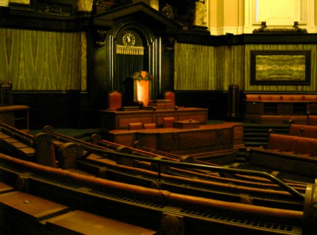
The Greater London Council (GLC) was the top-tier local government administrative body for Greater London from 1965 to 1986. It replaced the earlier London County Council (LCC) which had covered a much smaller area. The GLC was dissolved in 1986 by the Local Government Act 1985 and its powers were devolved to the London boroughs and other entities. A new administrative body, known as the Greater London Authority (GLA), was established in 2000. Creation The GLC was established by the London Government Act 1963, which sought to create a new body covering more of London rather than just the inner part of the conurbation, additionally including and empowering newly created London boroughs within the overall administrative structure. In 1957 a Royal Commission on Local Government in Greater London had been set up under Edwin Herbert, Baron Tangley, Sir Edwin Herbert, and this reported in 1960, recommending the creation of 52 new London boroughs as the basis for local government. It ... [...More Info...] [...Related Items...] OR: [Wikipedia] [Google] [Baidu] |
Hatton Cross Tube Station
Hatton Cross is a combined London Underground station and bus station. It is located on the Heathrow branch of the Piccadilly line. It is in Travelcard Zones 5 and 6 and stands between the Great South West Road ( A30) and the Heathrow Airport Southern Perimeter Road. The station serves a large area including Feltham to the south and Bedfont to the west. The station was named after the crossroads of the Great South West Road and Hatton Road. The station, itself in the borough of Hillingdon, serves a very small residential community in Hatton, which is in the borough of Hounslow. The nearby area is partly within the airport but mainly includes its associated commercial warehousing and light industrial premises. "Hatton Cross" refers to the crossroads on the former coaching road leading south west, and is now applied to the overlying major road intersection immediately south east of the station. Hatton Cross is also the nearest underground station to the popular plane spotting ... [...More Info...] [...Related Items...] OR: [Wikipedia] [Google] [Baidu] |
Water Pollution
Water pollution (or aquatic pollution) is the contamination of water bodies, usually as a result of human activities, so that it negatively affects its uses. Water bodies include lakes, rivers, oceans, aquifers, reservoirs and groundwater. Water pollution results when contaminants are introduced into these water bodies. Water pollution can be attributed to one of four sources: sewage discharges, industrial activities, agricultural activities, and urban runoff including stormwater. It can be grouped into surface water pollution (either fresh water pollution or marine pollution) or groundwater pollution. For example, releasing inadequately treated wastewater into natural waters can lead to degradation of these aquatic ecosystems. Water pollution can also lead to water-borne diseases for people using polluted water for drinking, bathing, washing or irrigation. Water pollution reduces the ability of the body of water to provide the ecosystem services (such as drinking water) that ... [...More Info...] [...Related Items...] OR: [Wikipedia] [Google] [Baidu] |


_Portrait_of_Robert_Cheseman_(1485-1547)_Mauritshuis_276.jpg)

