|
Avenue De La Liberté
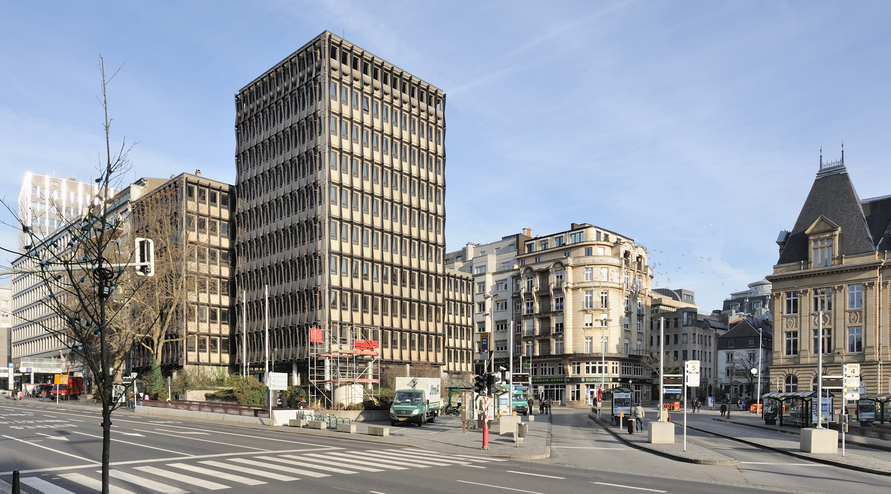
Avenue de la Liberté is a street in the Gare quarter of Luxembourg City, Luxembourg. Following significant alterations to its layout during renovation works, which occurred between 2018 and 2021, the avenue is separated into a dedicated bidirectional two-lane tramway on its eastern-side, followed by a two-lane one-way arterial road for motor vehicle traffic heading south towards Luxembourg station, and a bidirectional dedicated cycle-path on its western-side. All this is flanked by two wide tree-lined paved pedestrian footpaths. Prior to the works, which formed part of Luxembourg City's efforts to reintroduce tram transport, the avenue was a four-lane arterial road for motor vehicles with a one way designation for all traffic, excepting public buses. Route At its north end, the Avenue de la Liberté meets the Adolphe Bridge, which acts as a route for tram, motor vehicle, pedestrian, and bicycle traffic over the Pétrusse valley to join the Boulevard Royal in the city centr ... [...More Info...] [...Related Items...] OR: [Wikipedia] [Google] [Baidu] |
Adolphe Bridge
The Adolphe Bridge ( lb, Adolphe-Bréck, french: Pont Adolphe, german: Adolphe-Brücke) is a double-decked arch bridge in Luxembourg City, in southern Luxembourg. The bridge provides a one-way route for road traffic across the Pétrusse, from Boulevard Royal, in Ville Haute, to Avenue de la Liberté, in Gare. Its upper deck is 153 m in length and carries two lanes of road traffic, and two pedestrian footpaths. Its lower deck, opened in 2018, suspended beneath the upper deck, is 154 m in length, and carries a dedicated bidirectional bicycle path, with access provided for pedestrian use. As of 13 December 2020, following the completion of the second phase of the construction of the city's new tramline, the bridge carries bidirectional tram traffic on its upper deck. The Adolphe Bridge has become an unofficial national symbol of sorts, representing Luxembourg's independence, and has become one of Luxembourg City's main tourist attractions. The bridge was designed by Paul Séj ... [...More Info...] [...Related Items...] OR: [Wikipedia] [Google] [Baidu] |
Arcelor Mittal
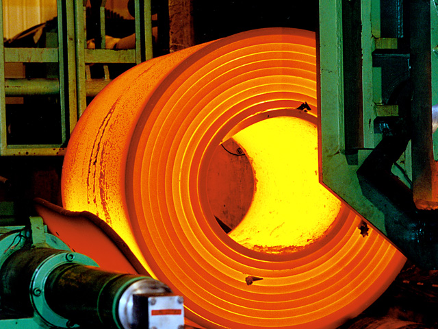
ArcelorMittal S.A. is a Luxembourgian multinational steel manufacturing corporation headquartered in Luxembourg City. It was formed in 2006 from the takeover and merger of Arcelor by Indian-owned Mittal Steel. ArcelorMittal is the second largest steel producer in the world, with an annual crude steel production of 88 million metric tonnes . It is ranked 197th in the 2022 Fortune Global 500 ranking of the world's largest corporations. It employs directly and indirectly 200,000 people and its market capital is $25 billion. The total value of company assets is estimated to be around $100 billion. Products and activities The company is involved in research and development, mining, and steel. ArcelorMittal in 2016 produced around 90 million tons of steel. As of May 2017, the company made 200 unique steel grades for automotive purposes, half of which were introduced since 2007. Among the steel varieties are Usibor 2000, which the company announced in June 2016 and released later th ... [...More Info...] [...Related Items...] OR: [Wikipedia] [Google] [Baidu] |
Place Des Martyrs, Luxembourg
The Place des Martyrs is a garden square in Luxembourg City, in southern Luxembourg. The square lies to the south of the Pétrusse valley, in the quarter of Gare. It is colloquially known as the Rose Garden ( lb, Rousegäertchen), on account of the red roses that dominate the garden's floriculture. Along its north-eastern side runs the Avenue de la Liberté, one of Luxembourg City's main thoroughfares. To the south-west runs the ''Rue Sainte-Zithe'', whilst the ''Rue du Plébiscite'' and the ''Rue de la Grève'' make up the south-east and north-west sides of the square respectively. The headquarters of ArcelorMittal, the world's largest steelmaker, are located on the Place des Martyrs, across the Avenue de la Liberté. The square was laid out in the 1920s, after the German occupation of the First World War. Three radial paths run through the square, meeting at a point in front of the Arcelor headquarters, where a work by the British sculptor Henry Moore, depicting a mother ... [...More Info...] [...Related Items...] OR: [Wikipedia] [Google] [Baidu] |
Tram Stops
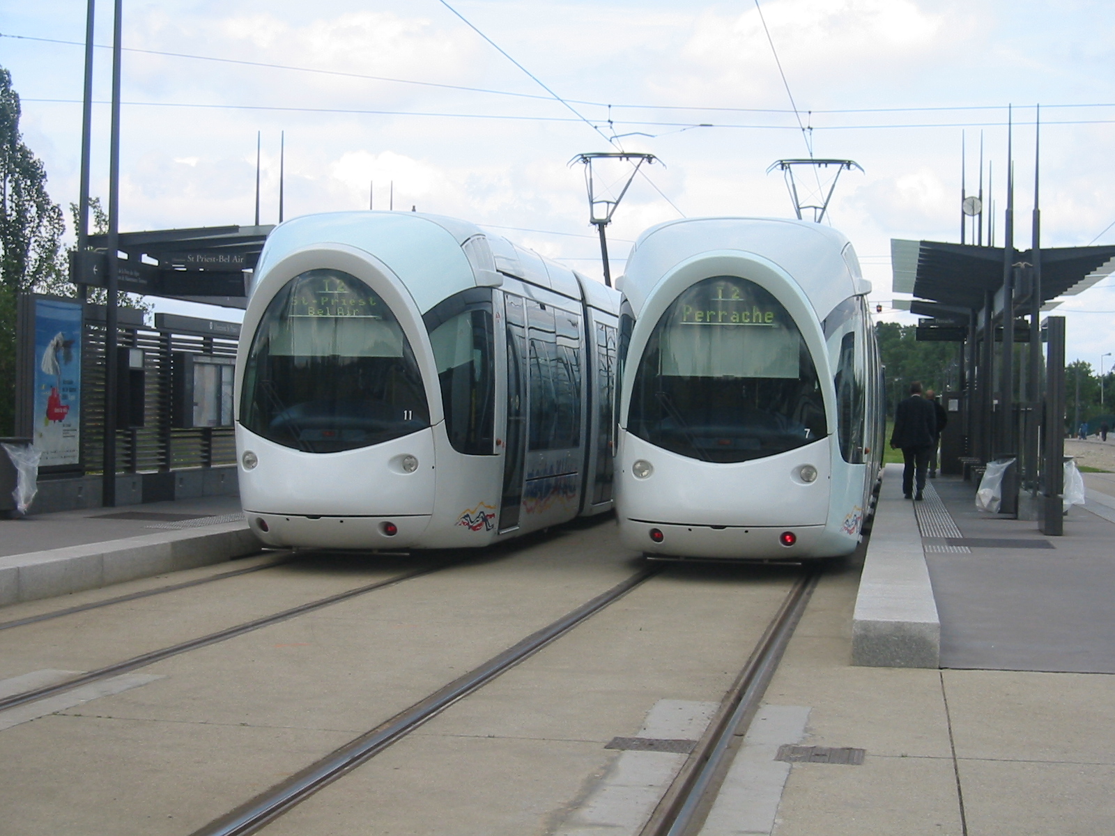
A tram stop, tram station, streetcar stop, or light rail station is a place designated for a tram, streetcar, or light rail vehicle to stop so passengers can board or alight it. Generally, tram stops share most characteristics of bus stops, but because trams operate on rails, they often include railway platforms, especially if stepless entries are provided for accessibility. However, trams may also be used with bus stop type flags and with mid-street pavements as platforms, in street running mode. Examples Most tram or streetcar stops in Melbourne and Toronto and other systems with extensive sections of street-running have no associated platforms, with stops in the middle of the roadway pavement. In most jurisdictions, traffic cannot legally pass a tram or streetcar whose doors are open, unless the tram is behind a safety zone or has a designated platform. On the other hand, several light rail systems have high-platform stops or stations with dedicated platforms at rail ... [...More Info...] [...Related Items...] OR: [Wikipedia] [Google] [Baidu] |
Ville Haute
Ville Haute ( lb, Uewerstad, german: Oberstadt) is a quarter in central Luxembourg City, in southern Luxembourg. It is the historic center of Luxembourg City and is involved in its UNESCO World Heritage Site status. , Ville Haute has a population of 3,413 inhabitants. Ville Haute is home to prestigious places, buildings and monuments such as Place Guillaume II, Place d'Armes, Notre-Dame Cathedral and Grand Ducal Palace. The Gëlle Fra Monument of Remembrance war memorial A war memorial is a building, monument, statue, or other edifice to celebrate a war or victory, or (predominating in modern times) to commemorate those who died or were injured in a war. Symbolism Historical usage It has ... is situated in Constitution Square. References Quarters of Luxembourg City {{Luxembourgcanton-geo-stub ... [...More Info...] [...Related Items...] OR: [Wikipedia] [Google] [Baidu] |
Boulevard Royal
Boulevard Royal is a street in Luxembourg City, in southern Luxembourg. The boulevard is a one-way traffic, one-way arterial road that runs around the northern and western parts of the city centre, Ville Haute. Besides its importance as one of Luxembourg City's primary arteries, it is also the home of much of Luxembourg's large financial services industry, including the Banque Centrale du Luxembourg (No.2), Banque de Luxembourg (No.14), and Quintet Private Bank (No.43). Route Boulevard Royal's route runs from the ''Côte d'Eich'', in the north-east of Ville Haute, west-south-westwards for approximately 330 metres (1,000 ft), before taking a hard southward turn, whereupon it continues for 400 metres (1,200 ft). At the street's southern end, in the south-west corner of Ville Haute, it leads to the Adolphe Bridge, which takes road traffic across the Pétrusse to join Avenue de la Liberté. Streets in Luxembourg City {{Europe-road-stub ... [...More Info...] [...Related Items...] OR: [Wikipedia] [Google] [Baidu] |
Pétrusse
The Pétrusse (; lb, Péitruss, german: Petruss) is a river flowing through Luxembourg, joining the Alzette at Luxembourg City. It flows through the town of Hollerich Hollerich ( lb, Hollerech) is a quarter in south-western Luxembourg City, in southern Luxembourg. , the quarter has a population of 7,132 inhabitants. Hollerich railway station is located on Chemins de Fer Luxembourgeois Line 70, which conne .... Rivers of Luxembourg {{Luxembourg-river-stub ... [...More Info...] [...Related Items...] OR: [Wikipedia] [Google] [Baidu] |
Trams In Luxembourg
The first generation of trams in Luxembourg ran from 1875 to 1964, before being withdrawn from service and the tramways removed. A second generation of trams began operational service on 10 December 2017, along a new route that will, by 2023, run from Luxembourg Airport to the Cloche d'Or business district, in Gasperich, serving the new national stadium, via Pfaffenthal-Kirchberg and Luxembourg railway stations. Additional lines are planned for the network both within Luxembourg City, as well as extending to Strassen and Esch-sur-Alzette. Contemporary and future usage T1 Luxembourg is in the process of reintroducing trams to its transport infrastructure. Construction work begun on a new tram depot on the edge of the Grünewald Forest and the Kirchberg quarter of Luxembourg City in January 2015, with the first tracks of the T1 tramline being laid in July 2016. The tramline, when fully operational, will have 24 stations connected by 16 km of tracks and have a capacity of 10 ... [...More Info...] [...Related Items...] OR: [Wikipedia] [Google] [Baidu] |
Street
A street is a public thoroughfare in a built environment. It is a public parcel of land adjoining buildings in an urban context, on which people may freely assemble, interact, and move about. A street can be as simple as a level patch of dirt, but is more often paved with a hard, durable surface such as tarmac, concrete, cobblestone or brick. Portions may also be smoothed with asphalt, embedded with rails, or otherwise prepared to accommodate non-pedestrian traffic. Originally, the word ''street'' simply meant a paved road ( la, via strata). The word ''street'' is still sometimes used informally as a synonym for ''road'', for example in connection with the ancient Watling Street, but city residents and urban planners draw a crucial modern distinction: a road's main function is transportation, while streets facilitate public interaction. [...More Info...] [...Related Items...] OR: [Wikipedia] [Google] [Baidu] |
Luxembourg Station
Luxembourg railway station ( lb, Gare Lëtzebuerg, french: Gare de Luxembourg, german: Bahnhof Luxemburg) is the main railway station serving Luxembourg City, in southern Luxembourg. It is operated by Chemins de Fer Luxembourgeois, the state-owned railway company. 80,000 passengers use this station every day. It is the hub of Luxembourg's domestic railway network, serving as a point of call on all of Luxembourg's railway lines. It also functions as the country's international railway hub, with services to all the surrounding countries: Belgium, France, and Germany. Since June 2007, the LGV Est connects the station to the French TGV network. The station is located south of the city centre (Ville Haute), to the south of the River Pétrusse. The station gives its name to Gare, one of the Quarters of Luxembourg City. History The original railway station was built entirely from timber, and was opened in 1859. The position of the new station on the south bank of the Pétrusse ... [...More Info...] [...Related Items...] OR: [Wikipedia] [Google] [Baidu] |
Arterial Road
An arterial road or arterial thoroughfare is a high-capacity urban road that sits below freeways/motorways on the road hierarchy in terms of traffic flow and speed. The primary function of an arterial road is to deliver traffic from collector roads to freeways or expressways, and between urban centres at the highest level of service possible. As such, many arteries are limited-access roads, or feature restrictions on private access. Because of their relatively high accessibility, many major roads face large amounts of land use and urban development, making them significant urban places. In traffic engineering hierarchy, an arterial road delivers traffic between collector roads and freeways. For new arterial roads, intersections are often reduced to increase traffic flow. In California, arterial roads are usually spaced every half mile, and have intersecting collector(s) and streets. Some arterial roads, characterized by a small fraction of intersections and driveways compared to ... [...More Info...] [...Related Items...] OR: [Wikipedia] [Google] [Baidu] |
.jpg)


