|
Auckland Volcanic Field
The Auckland volcanic field is an area of monogenetic volcanoes covered by much of the metropolitan area of Auckland, New Zealand's largest city, located in the North Island. The approximately 53 volcanoes in the field have produced a diverse array of maars (explosion craters), tuff rings, scoria cones, and lava flows. With the exception of Rangitoto, no volcano has erupted more than once, but the other eruptions lasted for various periods ranging from a few weeks to several years. Rangitoto erupted several times and recently twice; in an eruption that occurred about 600 years ago, followed by a second eruption approximately 50 years later. The field is fuelled entirely by basaltic magma, unlike the explosive subduction-driven volcanism in the central North Island, such as at Mount Ruapehu and Lake Taupō.Ian E.M. Smith and Sharon R. Allen. Auckland volcanic field geology'. Volcanic Hazards Working Group, Civil Defence Scientific Advisory Committee. Retrieved 30 March 2013. Als ... [...More Info...] [...Related Items...] OR: [Wikipedia] [Google] [Baidu] |
Ōrākei Basin
Ōrākei Basin is one of the volcanoes in the Auckland volcanic field in the North Island of New Zealand. It has an explosion crater around 700 m wide, with a surrounding tuff ring. The present basin is slightly larger than the original maar crater. Geology After eruption at least 83,000 years ago, it became a freshwater lake that had an overflow stream in the vicinity of present Ōrākei Rd bridge. As sea level rose after the end of the Last Ice Age, the lake, which by then had shallowed to a swamp, was breached by the sea and has been a tidal lagoon ever since. A tidal lagoon, it is popular for watersports. History A railway line (the North Island Main Trunk, branded as the Eastern Line for suburban services) runs through the north side of the basin. The railway runs along a causeway embankment which was constructed in the 1920s and created a barrier between the Ōrākei Basin and the rest of the Waitematā Harbour Waitematā Harbour is the main access by sea to Auc ... [...More Info...] [...Related Items...] OR: [Wikipedia] [Google] [Baidu] |
Ferdinand Von Hochstetter
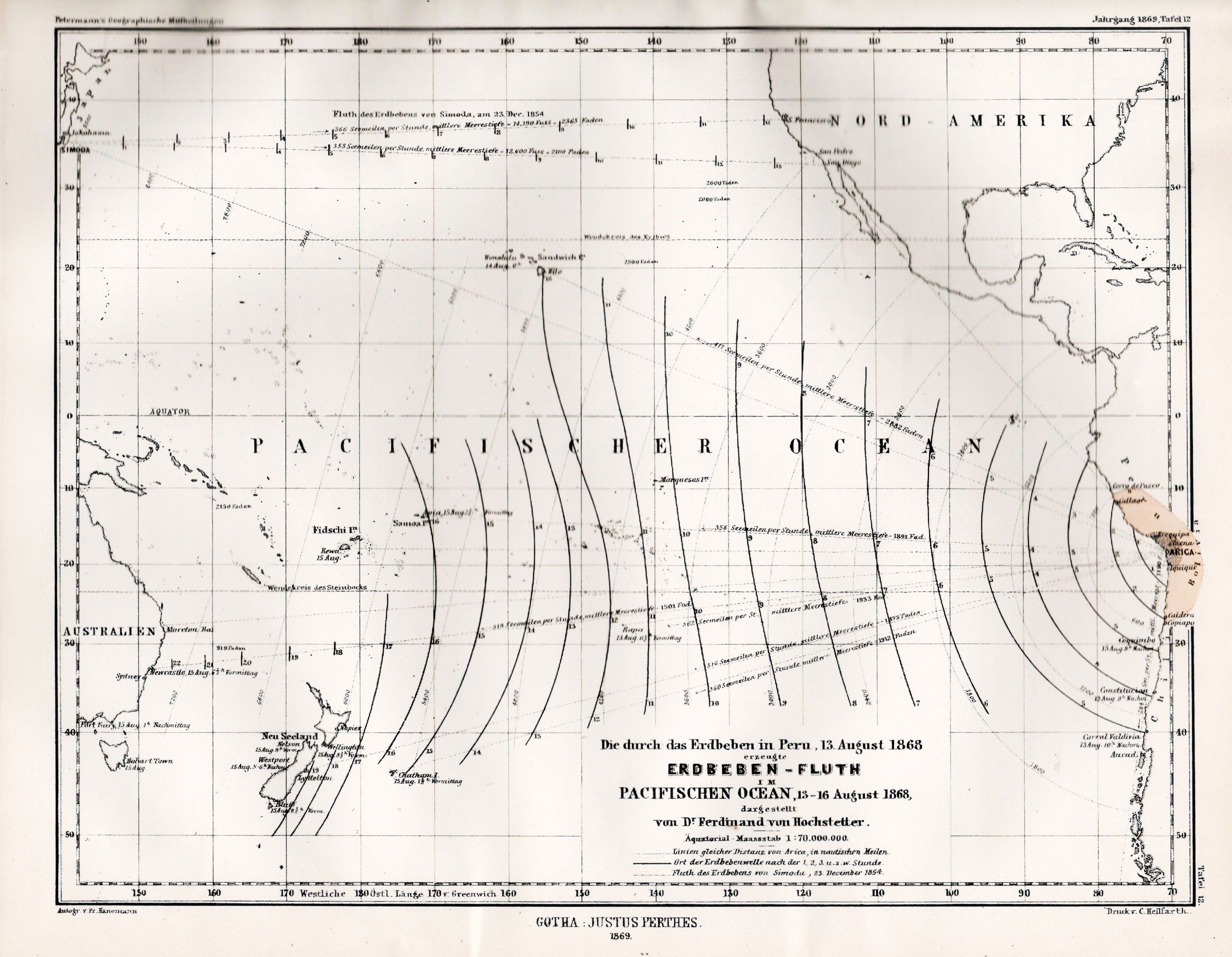
Christian Gottlieb Ferdinand Ritter von Hochstetter (30 April 1829 – 18 July 1884) was a German- Austrian geologist. Career Having received his early education at the evangelical seminary at Maulbronn, Ferdinand proceeded to the University of Tübingen and the Tübinger Stift; there, under Friedrich August von Quenstedt, the interest he already felt in geology became permanently fixed, and he obtained his doctor's degree and a travelling scholarship. In 1852 he joined the staff of the Imperial Geological Survey of Austria and was engaged until 1856 in parts of Bohemia, especially in the Bohemian Forest, and in the Fichtel Hills and Karlsbad mountains. His excellent reports established his reputation. Thus he came to be chosen as geologist to the Novara expedition (1857–59), and made numerous valuable observations in the voyage round the world. The Novara arrived in New Zealand on 22 December 1858. Almost immediately he met the German scientist Julius von Haast who had a ... [...More Info...] [...Related Items...] OR: [Wikipedia] [Google] [Baidu] |
Dormant Volcano
A volcano is a rupture in the crust of a planetary-mass object, such as Earth, that allows hot lava, volcanic ash, and gases to escape from a magma chamber below the surface. On Earth, volcanoes are most often found where tectonic plates are diverging or converging, and most are found underwater. For example, a mid-ocean ridge, such as the Mid-Atlantic Ridge, has volcanoes caused by divergent tectonic plates whereas the Pacific Ring of Fire has volcanoes caused by convergent tectonic plates. Volcanoes can also form where there is stretching and thinning of the crust's plates, such as in the East African Rift and the Wells Gray-Clearwater volcanic field and Rio Grande rift in North America. Volcanism away from plate boundaries has been postulated to arise from upwelling diapirs from the core–mantle boundary, deep in the Earth. This results in hotspot volcanism, of which the Hawaiian hotspot is an example. Volcanoes are usually not created where two tectonic ... [...More Info...] [...Related Items...] OR: [Wikipedia] [Google] [Baidu] |
Takapuna
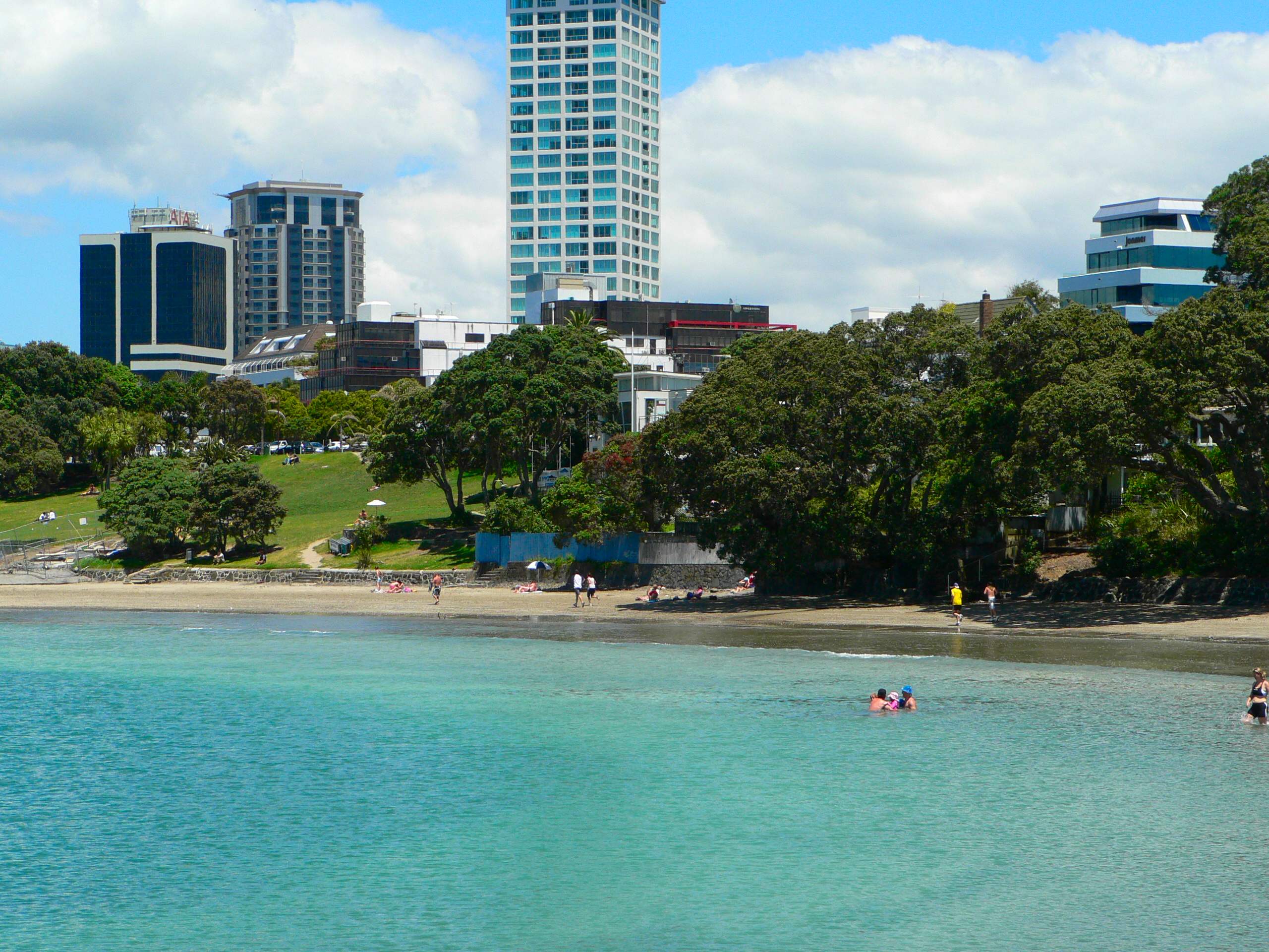
Takapuna is a suburb located on the North Shore of Auckland, New Zealand. The suburb is situated at the beginning of a south-east-facing peninsula forming the northern side of the Waitematā Harbour. While very small in terms of population, it was the seat of the North Shore City Council before amalgamation into Auckland Council in 2010 and contains substantial shopping and entertainment areas, acting as a CBD for the North Shore. History The Māori place name Takapuna originally referred to a freshwater spring that flowed from the base of North Head into a swamp behind Cheltenham Beach. In 1841 the wife of Eruera Maihi Patuone sold 9500 acres of Auckland's North Shore to the Crown. Referred to as Takapuna Parish, the North Shore was surveyed and subdivided in 1844. In 1851 Governor Grey gifted back to Patuone 110 acres between the inlet beside Barry's Point Road and Takapuna Beach to use until his death (1872). This area included a Māori settlement known as Waiwharari ... [...More Info...] [...Related Items...] OR: [Wikipedia] [Google] [Baidu] |
Volcanoes
A volcano is a rupture in the crust of a planetary-mass object, such as Earth, that allows hot lava, volcanic ash, and gases to escape from a magma chamber below the surface. On Earth, volcanoes are most often found where tectonic plates are diverging or converging, and most are found underwater. For example, a mid-ocean ridge, such as the Mid-Atlantic Ridge, has volcanoes caused by divergent tectonic plates whereas the Pacific Ring of Fire has volcanoes caused by convergent tectonic plates. Volcanoes can also form where there is stretching and thinning of the crust's plates, such as in the East African Rift and the Wells Gray-Clearwater volcanic field and Rio Grande rift in North America. Volcanism away from plate boundaries has been postulated to arise from upwelling diapirs from the core–mantle boundary, deep in the Earth. This results in hotspot volcanism, of which the Hawaiian hotspot is an example. Volcanoes are usually not created where two tectonic plat ... [...More Info...] [...Related Items...] OR: [Wikipedia] [Google] [Baidu] |
Shield Volcano
A shield volcano is a type of volcano named for its low profile, resembling a warrior's shield lying on the ground. It is formed by the eruption of highly fluid (low viscosity) lava, which travels farther and forms thinner flows than the more viscous lava erupted from a stratovolcano. Repeated eruptions result in the steady accumulation of broad sheets of lava, building up the shield volcano's distinctive form. Shield volcanoes are found wherever fluid low-silica lava reaches the surface of a rocky planet. However, they are most characteristic of ocean island volcanism associated with hot spots or with continental rift volcanism. They include the largest volcanoes on earth, such as Tamu Massif and Mauna Loa. Giant shield volcanoes are found on other planets of the Solar System, including Olympus Mons on Mars and Sapas Mons on Venus. Etymology The term 'shield volcano' is taken from the German term ''Schildvulkan'', coined by the Austrian geologist Eduard Suess in 1888 an ... [...More Info...] [...Related Items...] OR: [Wikipedia] [Google] [Baidu] |
Māori People
The Māori (, ) are the indigenous Polynesian people of mainland New Zealand (). Māori originated with settlers from East Polynesia, who arrived in New Zealand in several waves of canoe voyages between roughly 1320 and 1350. Over several centuries in isolation, these settlers developed their own distinctive culture, whose language, mythology, crafts, and performing arts evolved independently from those of other eastern Polynesian cultures. Some early Māori moved to the Chatham Islands, where their descendants became New Zealand's other indigenous Polynesian ethnic group, the Moriori. Initial contact between Māori and Europeans, starting in the 18th century, ranged from beneficial trade to lethal violence; Māori actively adopted many technologies from the newcomers. With the signing of the Treaty of Waitangi in 1840, the two cultures coexisted for a generation. Rising tensions over disputed land sales led to conflict in the 1860s, and massive land confiscations, to ... [...More Info...] [...Related Items...] OR: [Wikipedia] [Google] [Baidu] |
Pigeon Mountain (New Zealand)
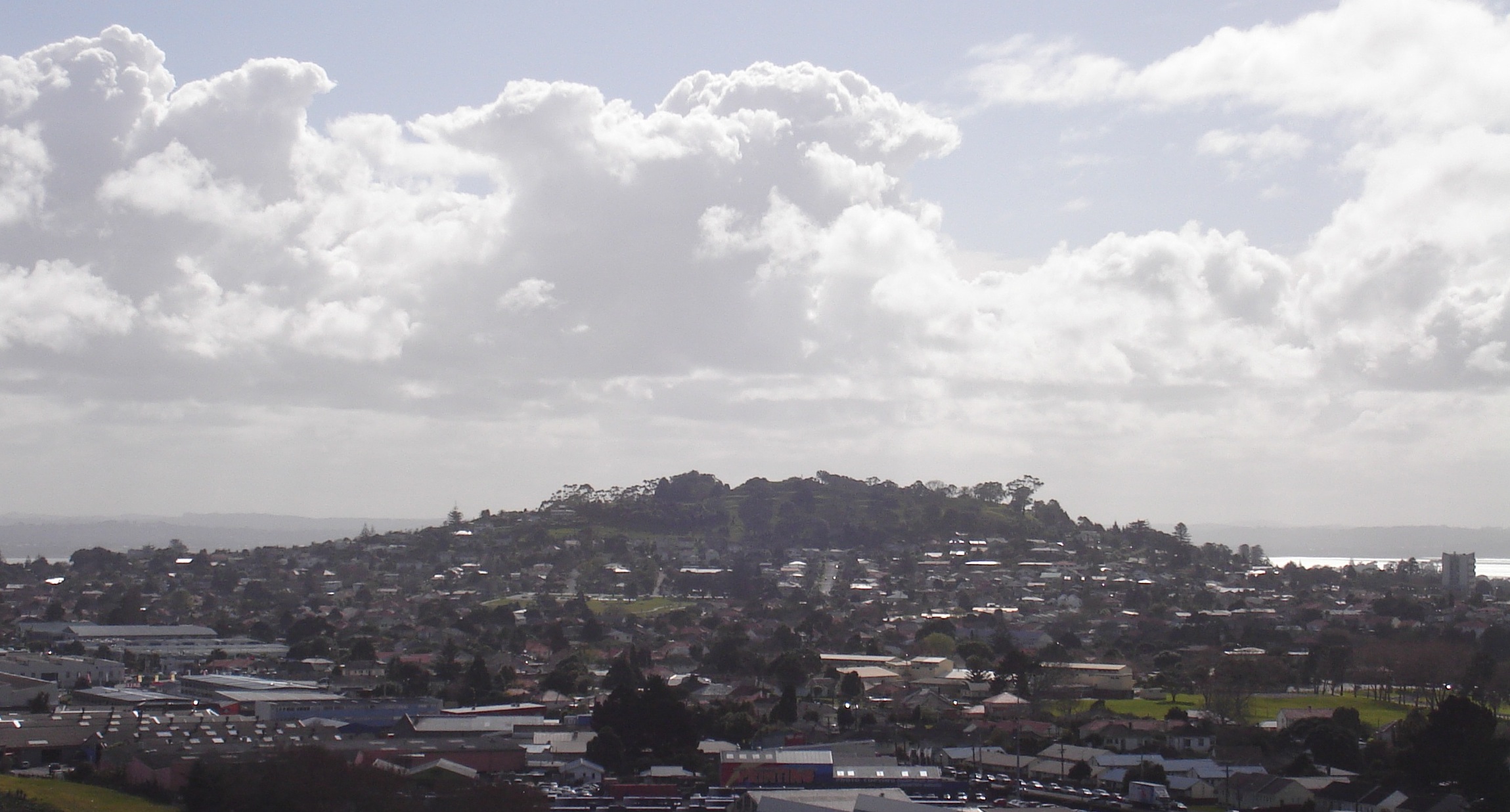
Pigeon Mountain (, officially Ōhuiarangi / Pigeon Mountain) is a high volcanic cone and Tūpuna Maunga (ancestral mountain) at Half Moon Bay, near Howick and Bucklands Beach, in Auckland, New Zealand. It is part of the Auckland volcanic field. Geography and history The volcano erupted around 24,000 years ago, forming a large crater and tuff ring about 500 meters wide. The prominent tuff ring is still clearly visible extending in an arc south of Sunderlands Road. Two much smaller craters were formed to the north west of the main cone. The smaller lies buried under Pigeon Mountain Road outside number 18, and the other forms Heights Park, a private reserve for the owners of 29–41 Pigeon Mountain Road and 14–36 Prince Regent Drive and 33–39 Tyrian Close. Ōhuiarangi is a Māori name meaning 'the desire of Rangi'. Early European settlers saw many kererū, native wood pigeons, feeding on the pigeonwood trees there, hence the name Pigeon Mountain. The mountain is a fo ... [...More Info...] [...Related Items...] OR: [Wikipedia] [Google] [Baidu] |
Mount Albert, New Zealand
Mount Albert is an inner suburb of Auckland, New Zealand, which is centred on Ōwairaka / Mount Albert, a local volcanic peak which dominates the landscape. In the past Mt Albert also referred to the 2,500 acre borough that was created in 1911 on the outskirts of Auckland City. Mt Albert was also one of the original five wards within the Mt Albert Borough. The suburb is located seven kilometres to the southwest of the Central Business District (CBD). Volcano The peak, in parkland at the southern end of the suburb, is 135 metres in height, and is one of the many extinct cones which dot the city of Auckland, all of which are part of the Auckland volcanic field. Suburb Mount Albert suburb was the second that developed in Auckland, after Remuera. It was mostly settled by well-off families in the late 1800s and early 1900s. Significant growth occurred between the two world wars. It is surrounded by the neighbouring suburbs of Owairaka, Sandringham, Morningside, Point Chevali ... [...More Info...] [...Related Items...] OR: [Wikipedia] [Google] [Baidu] |
Rangitoto Island
Rangitoto Island is a volcanic island in the Hauraki Gulf near Auckland, New Zealand. The wide island is a symmetrical shield volcano cone, reaching a height of . Rangitoto is the youngest and largest of the approximately 50 volcanoes of the Auckland volcanic field, with its present form related to an eruption about 600 years ago and covering an area of . It is separated from the mainland of Auckland's North Shore by the Rangitoto Channel. Since World War II, it has been linked by a causeway to the much older, non-volcanic Motutapu Island. is Māori for 'Bloody Sky',What happened to local Maori? (from the Rangitoto page on the website) with the name coming from the full ph ... [...More Info...] [...Related Items...] OR: [Wikipedia] [Google] [Baidu] |


