|
Annaberg District
Annaberg is a former district in Saxony, Germany. It was bounded by (from the south and clockwise) the Czech Republic and the districts of Aue-Schwarzenberg, Stollberg and Mittlerer Erzgebirgskreis. Its colors are pink, green, and blue. History In the Middle Ages the Ore Mountains were virtually unsettled and covered by dense forests. The towns of Annaberg and Buchholz (merged in 1945 to form Annaberg-Buchholz) were founded by the turn of the 16th century due to the discovery of silver and tin deposits. Now men from the Saxon lowlands moved into the mountains and founded many small towns and villages. The district of Annaberg was established in 1874. By the late 19th century, mining, formerly of great importance, had been diverted to other localities, and the government department relating to it had moved to Marienberg in 1856. Annaberg, however, continued to be an important center for the manufacture of lace and fringes, which latter industry was introduced about 1590 by Prot ... [...More Info...] [...Related Items...] OR: [Wikipedia] [Google] [Baidu] |
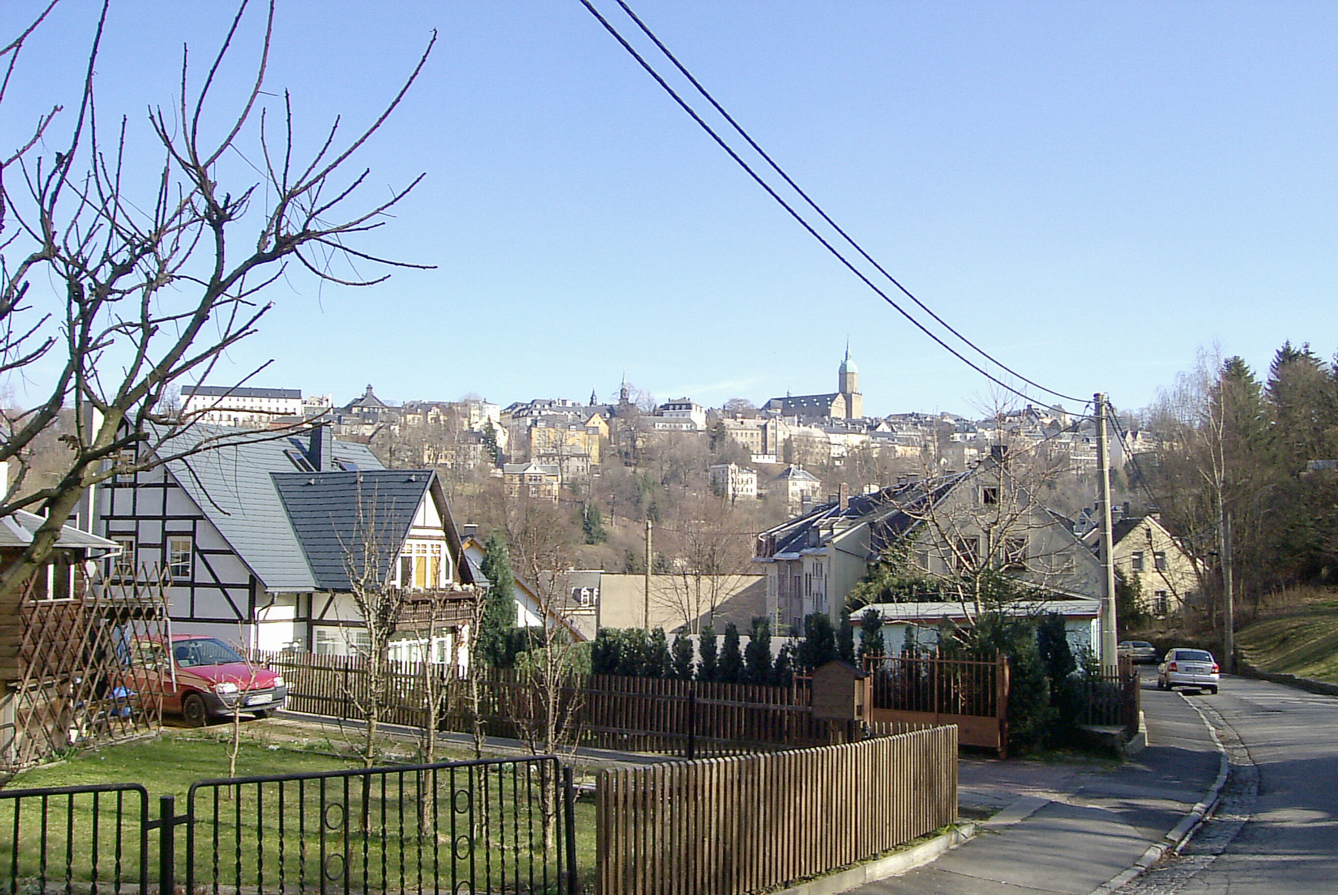
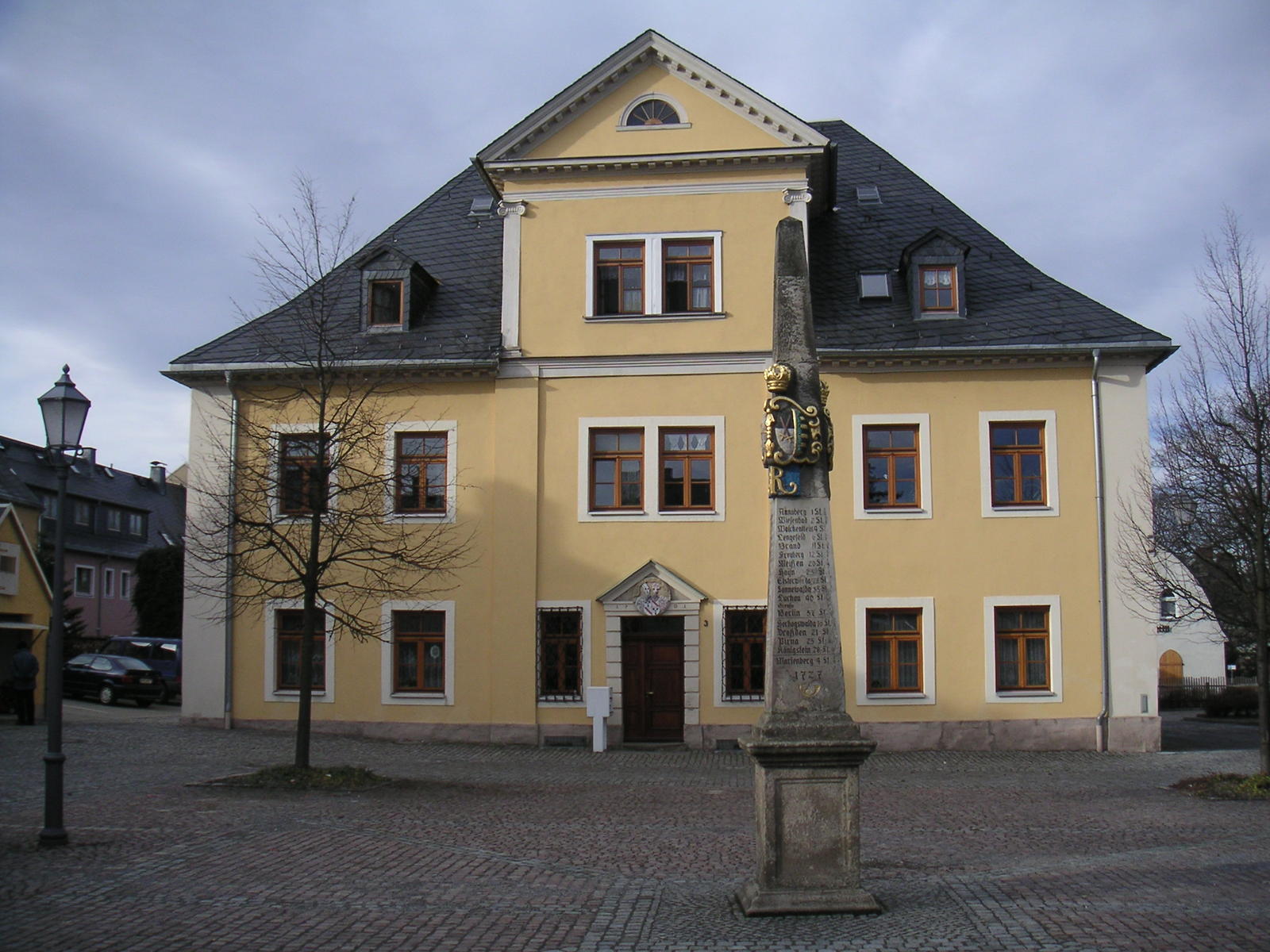
Annaberg-Buchholz
Annaberg-Buchholz () is a town in Saxony, Germany. Lying in the Ore Mountains, it is the capital of the district of Erzgebirgskreis. Geography The town is located in the Ore Mountains, at the side of the ''Pöhlberg'' ( above sea level). History The previously heavily forested upper Ore Mountains were settled in the 12th and 13th centuries by Franconian farmers. Frohnau, Geyersdorf, and Kleinrückerswalde—all now part of present-day town—are all attested from 1397. Barbara Uthmann introduced braid- and lace-making in 1561 and it was further developed in the 1590s by Belgian refugees fleeing the policies of Fernando Álvarez de Toledo, 3rd Duke of Alba, Spain's governor over the Low Countries. The industry was further developed in the 19th century, when Annaberg and Buchholz were connected by rail to Chemnitz and each other and both settlements had specialized schools for lace-making. The population of Annaberg in the 1870s was 11,693. This had risen to 16,811 by 1905, ... [...More Info...] [...Related Items...] OR: [Wikipedia] [Google] [Baidu] |
Margravate Of Meissen
The Margravate of Meissen (german: Markgrafschaft Meißen) was a medieval principality in the area of the modern German state of Saxony. It originally was a frontier march of the Holy Roman Empire, created out of the vast ''Marca Geronis'' (Saxon Eastern March) in 965. Under the rule of the Wettin dynasty, the margravate finally merged with the former Duchy of Saxe-Wittenberg into the Saxon Electorate by 1423. Predecessors In the mid 9th century, the area of the later margravate was part of an eastern frontier zone of the Carolingian Empire called Sorbian March (''Limes Sorabicus''), after Sorbian tribes of Polabian Slavs settling beyond the Saale river. In 849, a margrave named Thachulf was documented in the ''Annales Fuldenses''. His title is rendered as ''dux Sorabici limitis'', "duke of the Sorbian frontier", but he and his East Frankish successors were commonly known as ''duces Thuringorum'', "dukes of the Thuringians", as they set about establishing their power over the ol ... [...More Info...] [...Related Items...] OR: [Wikipedia] [Google] [Baidu] |
Mildenau
Mildenau is a municipality in the district of Erzgebirgskreis, in Saxony, Germany. History From 1952 to 1990, Mildenau was part of the Bezirk Karl-Marx-Stadt of East Germany East Germany, officially the German Democratic Republic (GDR; german: Deutsche Demokratische Republik, , DDR, ), was a country that existed from its creation on 7 October 1949 until its dissolution on 3 October 1990. In these years the state .... Notable people * Josh Cahill (1986), Aviation Vlogger and Blogger References Erzgebirgskreis {{Erzgebirgskreis-geo-stub ... [...More Info...] [...Related Items...] OR: [Wikipedia] [Google] [Baidu] |
Königswalde
Königswalde is a municipality in the district of Erzgebirgskreis, in Saxony, Germany. History From 1952 to 1990, Königswalde was part of the Bezirk Karl-Marx-Stadt of East Germany East Germany, officially the German Democratic Republic (GDR; german: Deutsche Demokratische Republik, , DDR, ), was a country that existed from its creation on 7 October 1949 until its dissolution on 3 October 1990. In these years the state .... References Sources * External links * Erzgebirgskreis {{Erzgebirgskreis-geo-stub ... [...More Info...] [...Related Items...] OR: [Wikipedia] [Google] [Baidu] |
Gelenau
Gelenau is a municipality in the district of Erzgebirgskreis, in Saxony, Germany Germany,, officially the Federal Republic of Germany, is a country in Central Europe. It is the second most populous country in Europe after Russia, and the most populous member state of the European Union. Germany is situated betwe .... References Sources * External links * * Erzgebirgskreis {{Erzgebirgskreis-geo-stub ... [...More Info...] [...Related Items...] OR: [Wikipedia] [Google] [Baidu] |
Crottendorf
Crottendorf is a municipality located in the district of Erzgebirgskreis, in Saxony, Germany. History From 1952 to 1990, Crottendorf was part of the Bezirk Karl-Marx-Stadt of East Germany East Germany, officially the German Democratic Republic (GDR; german: Deutsche Demokratische Republik, , DDR, ), was a country that existed from its creation on 7 October 1949 until its dissolution on 3 October 1990. In these years the state .... References Erzgebirgskreis {{Erzgebirgskreis-geo-stub ... [...More Info...] [...Related Items...] OR: [Wikipedia] [Google] [Baidu] |
Bärenstein
Bärenstein is a municipality in the district of Erzgebirgskreis, in Saxony, Germany. History From 1952 to 1990, Bärenstein was part of the Bezirk Karl-Marx-Stadt of East Germany East Germany, officially the German Democratic Republic (GDR; german: Deutsche Demokratische Republik, , DDR, ), was a country that existed from its creation on 7 October 1949 until its dissolution on 3 October 1990. In these years the state .... References Erzgebirgskreis {{Erzgebirgskreis-geo-stub ... [...More Info...] [...Related Items...] OR: [Wikipedia] [Google] [Baidu] |
Thum
Thum is a small town in the district of Erzgebirgskreis, in the Free State of Saxony, Germany. Thum has a population of about 5800. Geography Thum is situated in the Erzgebirge, 10 km northwest of Annaberg-Buchholz, and 19 km south of Chemnitz. The Jahnsbach, a tributary to the Zschopau River runs through the town. To the north is Gelenau, east is Drebach, south of Thum is the town of Ehrenfriedersdorf. The Greifensteine area lies to the south west, and Hormersdorf and Auerbach are to the west. History Thum was first mentioned 1389 in historic records of the archdiocese of Prague. From the 14th century, mining in the once densely forested Erzgebirge steadily increased, and a history book of 1445 describes Thum as a small mining town. Several placer deposits, two stamp mills and 27 mines were in the area of Thum. Considerable amounts of Axinite were found, which initially was given the name ''Thumit''. In 1469 the citizens of Thum acquired township. The last batt ... [...More Info...] [...Related Items...] OR: [Wikipedia] [Google] [Baidu] |
Schlettau
Schlettau is a town in the district of Erzgebirgskreis, in Saxony in Germany. It is situated in the Ore Mountains (Germany), Ore Mountains, 5 km southwest of Annaberg-Buchholz, and 12 km east of Schwarzenberg, Saxony, Schwarzenberg. History From 1952 to 1990, Schlettau was part of the Bezirk Karl-Marx-Stadt of East Germany. References Erzgebirgskreis {{Erzgebirgskreis-geo-stub ... [...More Info...] [...Related Items...] OR: [Wikipedia] [Google] [Baidu] |
Scheibenberg
Scheibenberg is a town in the district of Erzgebirgskreis in Saxony in Germany. It is situated in the Ore Mountains, 8 km southwest of Annaberg-Buchholz, and 9 km east of Schwarzenberg. History From 1952 to 1990, Scheibenberg was part of the Bezirk Karl-Marx-Stadt of East Germany East Germany, officially the German Democratic Republic (GDR; german: Deutsche Demokratische Republik, , DDR, ), was a country that existed from its creation on 7 October 1949 until its dissolution on 3 October 1990. In these years the state .... References Erzgebirgskreis {{Erzgebirgskreis-geo-stub ... [...More Info...] [...Related Items...] OR: [Wikipedia] [Google] [Baidu] |
Oberwiesenthal
Oberwiesenthal (; officially Kurort Oberwiesenthal) is a town and a ski resort in the district of Erzgebirgskreis in Saxony in Germany. It is situated in the Ore Mountains, on the border with the Czech Republic, 19 km south of Annaberg-Buchholz, and 23 km northeast of Karlovy Vary. At , it is the highest town in Germany.Official web site (in German) The and goldmedalist in |
Jöhstadt
Jöhstadt () is a town in the district of Erzgebirgskreis, in Saxony, Germany. It is situated in the Ore Mountains, on the border with the Czech Republic, 10 km southeast of Annaberg-Buchholz, and 35 km northeast of Karlovy Vary. History From 1952 to 1990, Jöhstadt was part of the Bezirk Karl-Marx-Stadt of East Germany East Germany, officially the German Democratic Republic (GDR; german: Deutsche Demokratische Republik, , DDR, ), was a country that existed from its creation on 7 October 1949 until its dissolution on 3 October 1990. In these years the state .... References Czech Republic–Germany border crossings Erzgebirgskreis {{Erzgebirgskreis-geo-stub ... [...More Info...] [...Related Items...] OR: [Wikipedia] [Google] [Baidu] |


-Deutschland.png)