|
Amga (rural Locality)
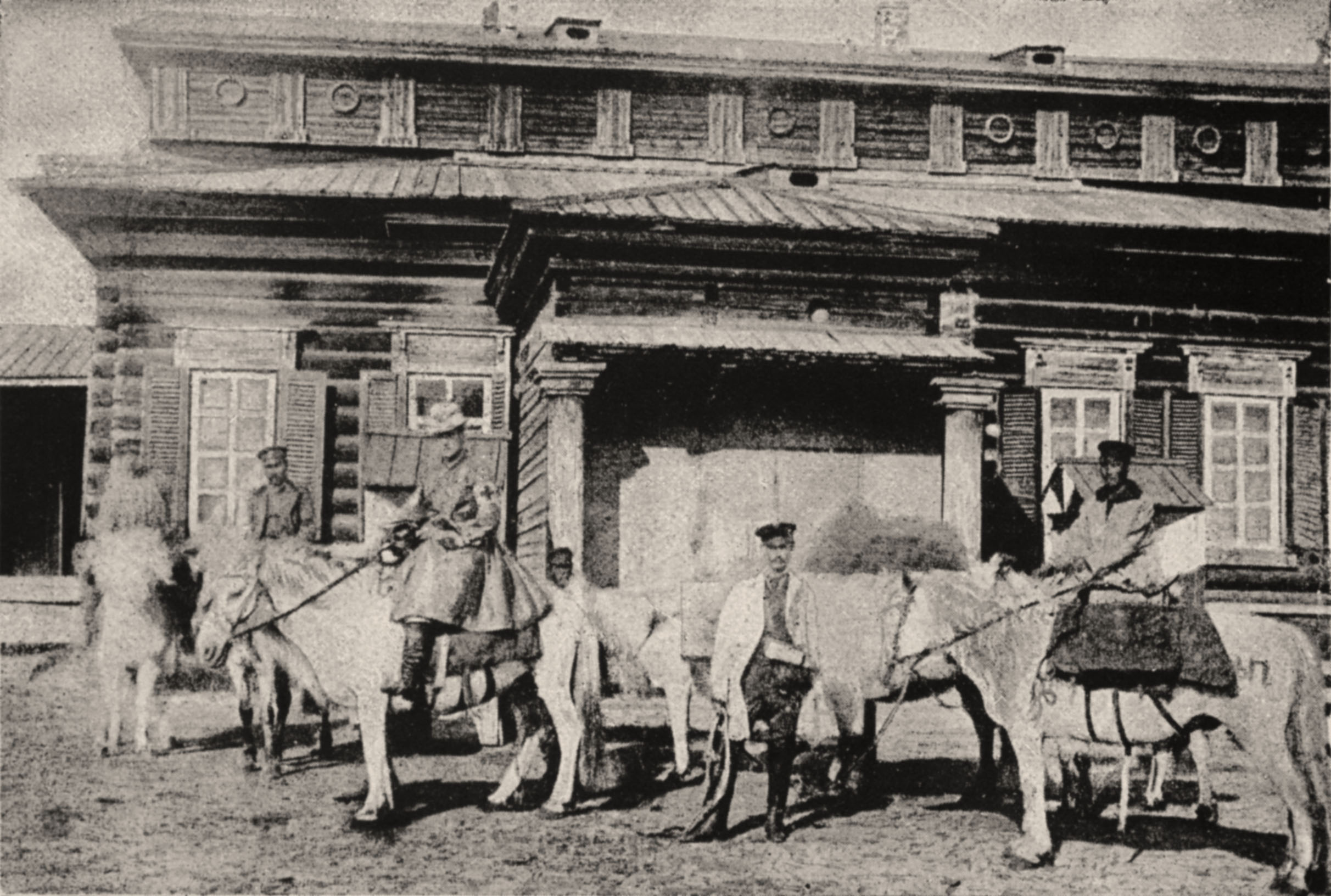
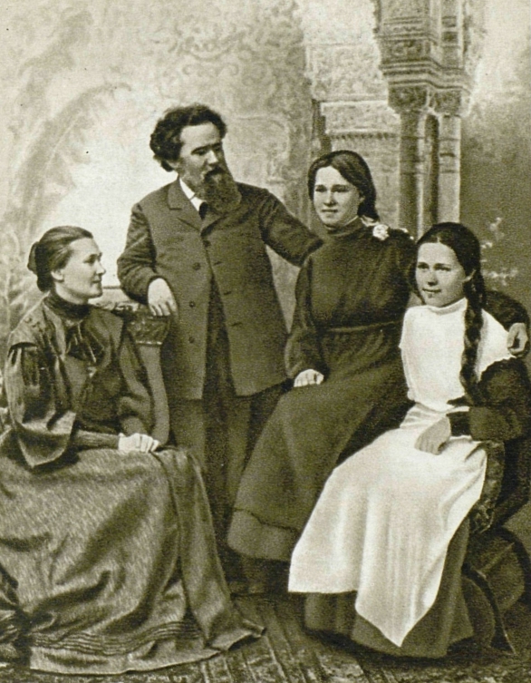
Amga (russian: Амга́; sah, Амма, ''Amma'') is a rural locality (a '' selo'') and the administrative center of Amginsky District of the Sakha Republic, Russia,''Registry of the Administrative-Territorial Divisions of the Sakha Republic'' located on the Amga River. It also the only inhabited locality and the administrative center of Amginsky Rural Okrug within Amginsky District. Population: Etymology The name ''Amga'' is derived from an Evenk word meaning ''gorge'' or ''ravine''. History It was first founded by the Cossacks in 1652 as the '' ostrog'' (fortress) of Amga-Sloboda (). The first church was built in 1680, but it burned down later and was subsequently rebuilt a number of times. Agriculture has been conducted in the area since 1695; it was the first place in Yakutia used for growing crops. Amga was a place of political exile in the Russian Empire, with the most famous exile being Vladimir Korolenko, who was exiled here for six years in 1879. It was also the ... [...More Info...] [...Related Items...] OR: [Wikipedia] [Google] [Baidu] |
Sakha Republic
Sakha, officially the Republic of Sakha (Yakutia),, is the largest republic of Russia, located in the Russian Far East, along the Arctic Ocean, with a population of roughly 1 million. Sakha comprises half of the area of its governing Far Eastern Federal District, and is the world's largest country subdivision, covering over 3,083,523 square kilometers (1,190,555 sq mi). ''Sakha'' following regular sound changes in the course of development of the Yakut language) as the Evenk and Yukaghir exonyms for the Yakuts. It is pronounced as ''Haka'' by the Dolgans, whose language is either a dialect or a close relative of the Yakut language.Victor P. Krivonogov, "The Dolgans’Ethnic Identity and Language Processes." ''Journal of Siberian Federal University'', Humanities & Social Sciences 6 (2013 6) 870–888. Geography * ''Borders'': ** ''internal'': Chukotka Autonomous Okrug (660 km)(E), Magadan Oblast (1520 km)(E/SE), Khabarovsk Krai (2130 km)(SE), Amur Oblast (S ... [...More Info...] [...Related Items...] OR: [Wikipedia] [Google] [Baidu] |
Ostrog (fortress)
Ostrog ( rus, острог, p=ɐˈstrok) is a Russian term for a small fort, typically wooden and often non-permanently staffed. Ostrogs were encircled by 4–6 metres high palisade walls made from sharpened trunks. The name derives from the Russian word строгать (strogat'), "to shave the wood". Ostrogs were smaller and exclusively military forts, compared to larger kremlins that were the cores of Russian cities. Ostrogs were often built in remote areas or within the fortification lines, such as the Great Abatis Line. History From the 17th century, after the start of the Russian conquest of Siberia, the word ''ostrog'' was used to designate the forts founded in Siberia by Russian explorers. Many of these forts later transformed into large Siberian cities. When later Siberia became a favourite destination for criminals sent there to serve katorga, Siberian ostrogs became associated with imprisonment, and in the 18th and 19th centuries the word ''ostrog'' often meant ''pri ... [...More Info...] [...Related Items...] OR: [Wikipedia] [Google] [Baidu] |
Ayan, Russia
Ayan (russian: Аян) is a rural locality (a '' selo'') and the administrative center of Ayano-Maysky District of Khabarovsk Krai, Russia, located on the shore of a well-protected bay of the Sea of Okhotsk, from Khabarovsk and by sea from Nikolayevsk-on-Amur. Population: History Around 1840, a decision was made to move the Russian-American Company base from Okhotsk down the coast to Ayan, because Okhotsk stands on a river mouth protected by a sand bar and is subject to flooding while Ayan is on a circular bay on the south side of a peninsula and can be entered without waiting for a proper wind. The area was poor in fish and shipbuilding timber, but there was said to be a coal deposit nearby. A survey was done in 1840 and work started in 1843 under Vasily Zavoyko of the Russian-American Company. In 1845, an overland route was established to Yakutsk. Several expeditions went south from Ayan to explore the Amur region. In 1849, the naval center was again shifted to Petropavlov ... [...More Info...] [...Related Items...] OR: [Wikipedia] [Google] [Baidu] |
Uda Gulf
Uda Gulf or Uda Bay (russian: Удская губа; ''Udskaya Guba'') is a gulf or bay in Khabarovsk Krai, Russian Federation. Geography Uda Gulf is located in the northwestern Sea of Okhotsk. It lies just west of the Shantar Islands. The Uda River flows into it. It is entered between Cape Madzhalinda (55°17' N, 136°07' E) and Cape Malaya Dugandzha (54°41' N, 136°39' E). It is about 64.4 km (40 mi) wide. Trees line its shores, principally fir. Calms and light winds prevail from March or April to June, while southwesterly winds are common in July and August. Northwesterly gales and northeast storms are frequent in October and November. During the winter northwesterly winds are prevalent. The gulf is normally enshrouded in fog during the spring and early summer. Ice typically occurs in the gulf between November and mid-July. During favorable years the ice may leave by June, but after severe winters it may remain throughout the year. Tides are semidiurnal. Springs rise 6.1 t ... [...More Info...] [...Related Items...] OR: [Wikipedia] [Google] [Baidu] |
Yakutsk
Yakutsk (russian: Якутск, p=jɪˈkutsk; sah, Дьокуускай, translit=Djokuuskay, ) is the capital city of the Sakha Republic, Russia, located about south of the Arctic Circle. Fueled by the mining industry, Yakutsk has become one of Russia's most rapidly growing regional cities, with a population of 355,443 at the 2021 Census. Yakutsk — where the average annual temperature is , winter high temperatures are consistently well below , and the record low is ,Погода в Якутске. Температура воздуха и осадки. Июль 2001 г. (in Russian) — is the coldest city in the world. Yakutsk is also the largest city located in |
Russian Civil War
, date = October Revolution, 7 November 1917 – Yakut revolt, 16 June 1923{{Efn, The main phase ended on 25 October 1922. Revolt against the Bolsheviks continued Basmachi movement, in Central Asia and Tungus Republic, the Far East through the 1920s and 1930s.{{cite book, last=Mawdsley, first=Evan, title=The Russian Civil War, location=New York, publisher=Pegasus Books, year=2007, isbn=9781681770093, url=https://archive.org/details/russiancivilwar00evan, url-access=registration{{rp, 3,230(5 years, 7 months and 9 days) {{Collapsible list , bullets = yes , title = Peace treaties , Treaty of Brest-LitovskSigned 3 March 1918({{Age in years, months, weeks and days, month1=11, day1=7, year1=1917, month2=3, day2=3, year2=1918) , Treaty of Tartu (Russian–Estonian)Signed 2 February 1920({{Age in years, months, weeks and days, month1=11, day1=7, year1=1917, month2=2, day2=2, year2=1920) , Soviet–Lithuanian Peace TreatySigned 12 July 1920({{Age in years, months, weeks and da ... [...More Info...] [...Related Items...] OR: [Wikipedia] [Google] [Baidu] |
Anatoly Pepelyayev
Anatoly Nikolayevich Pepelyayev (russian: Анатолий Николаевич Пепеляев; , in Tomsk – 14 January 1938) was a White Russian general who led the Siberian armies of Admiral Kolchak during the Russian Civil War. His elder brother Viktor Pepelyayev served as Prime Minister in Kolchak's government. Early life and career Anatoly Pepelyayev was brought up "in the family of a military man." who was a Lieutenant General in the Imperial Russian Army, by the name of Nikolai Mikhailovich Pepelyayev (05/06/1858-11/20/1916.) and to the daughter merchant by the name of Claudia Nekrasova. He had a total 8 siblings, two of which were his sisters, and the remainder were his brothers. During his youth, one of his brothers, one Pyotr Nikolaevich, passed away. Sometime in 1912, Pepelyayev married a woman by the name of Nina Ivanovna Gavronskaya. Born in Nizhneudinsk in 1893, Nina Gavronskaya and Anatoly Pepelyayev had two children, Vsevolod Anatolievich Pepelyaev i ... [...More Info...] [...Related Items...] OR: [Wikipedia] [Google] [Baidu] |
Vladimir Korolenko
Vladimir Galaktionovich Korolenko (russian: Влади́мир Галактио́нович Короле́нко, ua, Володи́мир Галактіо́нович Короле́нко; 27 July 1853 – 25 December 1921) was a Ukrainian-born Russian writer, journalist, human rights activist and humanitarian of Ukrainian and Polish origin. His best-known work include the short novel '' The Blind Musician'' (1886), as well as numerous short stories based upon his experience of exile in Siberia. Korolenko was a strong critic of the Tsarist regime and in his final years of the Bolsheviks. Biography Early life Vladimir Korolenko was born in Zhytomyr, Ukraine (Volhynian Governorate), then part of the Russian Empire.Tyunkin, K.I. Foreword. The Works by V.G. Korolenko in 6 volumes. Pravda Publishers. Ogonyok Library. Moscow, 1971. Vol. 1, pp. 3-38 His Ukrainian Cossack father, Poltava-born Galaktion Afanasyevich Korolenko (1810-1868), was a district judge who, "amongst the people ... [...More Info...] [...Related Items...] OR: [Wikipedia] [Google] [Baidu] |
Russian Empire
The Russian Empire was an empire and the final period of the Russian monarchy from 1721 to 1917, ruling across large parts of Eurasia. It succeeded the Tsardom of Russia following the Treaty of Nystad, which ended the Great Northern War. The rise of the Russian Empire coincided with the decline of neighbouring rival powers: the Swedish Empire, the Polish–Lithuanian Commonwealth, Qajar Iran, the Ottoman Empire, and Qing China. It also held colonies in North America between 1799 and 1867. Covering an area of approximately , it remains the third-largest empire in history, surpassed only by the British Empire and the Mongol Empire; it ruled over a population of 125.6 million people per the 1897 Russian census, which was the only census carried out during the entire imperial period. Owing to its geographic extent across three continents at its peak, it featured great ethnic, linguistic, religious, and economic diversity. From the 10th–17th centuries, the land ... [...More Info...] [...Related Items...] OR: [Wikipedia] [Google] [Baidu] |
Cossacks
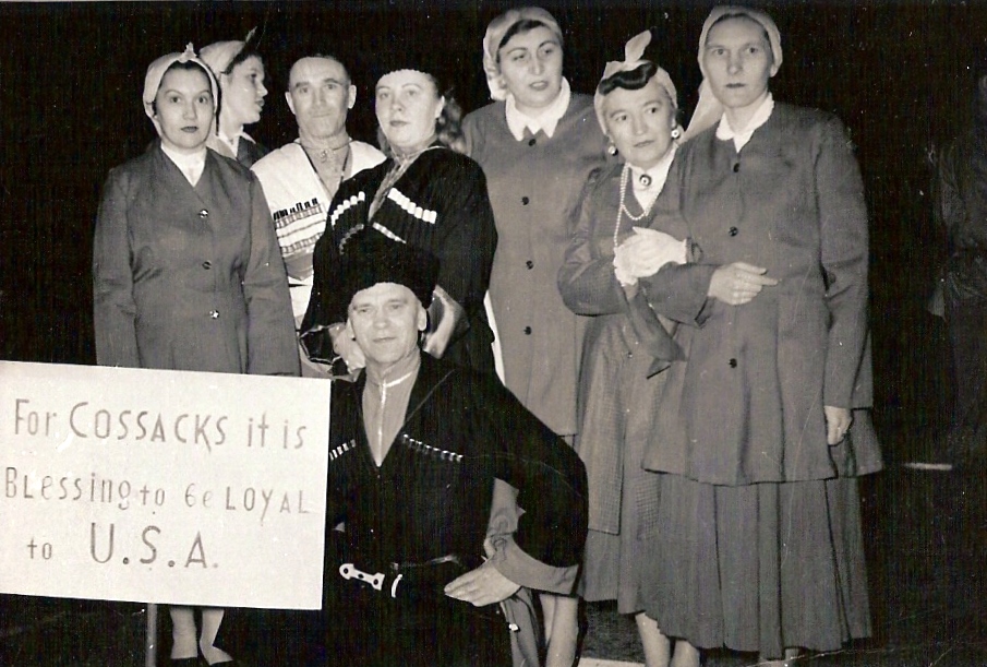
The Cossacks , es, cosaco , et, Kasakad, cazacii , fi, Kasakat, cazacii , french: cosaques , hu, kozákok, cazacii , it, cosacchi , orv, коза́ки, pl, Kozacy , pt, cossacos , ro, cazaci , russian: казаки́ or , sk, kozáci , uk, козаки́ are a predominantly East Slavic Orthodox Christian people originating in the Pontic–Caspian steppe of Ukraine and southern Russia. Historically, they were a semi-nomadic and semi-militarized people, who, while under the nominal suzerainty of various Eastern European states at the time, were allowed a great degree of self-governance in exchange for military service. Although numerous linguistic and religious groups came together to form the Cossacks, most of them coalesced and became East Slavic-speaking Orthodox Christians. The Cossacks were particularly noted for holding democratic traditions. The rulers of the Polish-Lithuanian Commonwealth and Russian Empire endowed Cossacks with certain sp ... [...More Info...] [...Related Items...] OR: [Wikipedia] [Google] [Baidu] |
Amginsky District
Amginsky District (russian: Амги́нский улу́с; sah, Амма улууһа, ''Amma uluuha'') is an administrativeConstitution of the Sakha Republic, Article 45 and municipalLaw #172-Z #351-III district (raion, or ''ulus''), one of the thirty-four in the Sakha Republic, Russia. It is located in the southeast of the republic and borders with Churapchinsky District in the north, Ust-Maysky District in the east and southeast, Aldansky District in the south and southwest, and with Khangalassky and Megino-Kangalassky Districts in the northwest. The area of the district is .Registry of the Administrative-Territorial Divisions of the Sakha Republic Its administrative center is the rural locality (a '' selo'') of Amga. As of the 2010 Census, the total population of the district was 17,183, with the population of Amga accounting for 38.0% of that number. Geography Amginsky is on flat terrain of the Prilenskoye Plateau (Lena Plateau). The main river in the dist ... [...More Info...] [...Related Items...] OR: [Wikipedia] [Google] [Baidu] |


