|
Aha! (airline Brand)
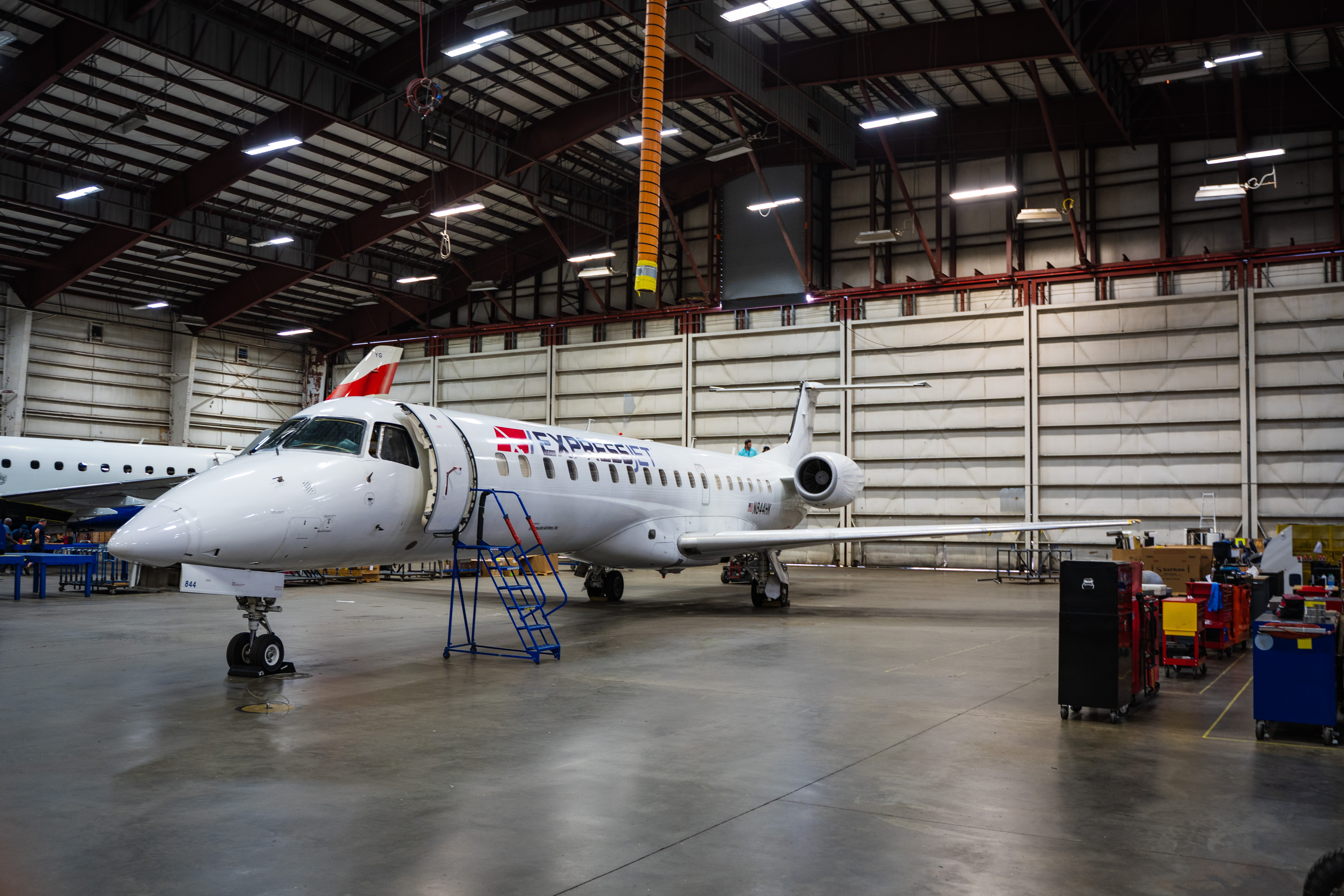
Aha! (legally ''Aha! Travel Management Company LLC'', stylized aha!) was the brand used by regional airline ExpressJet for flights between Reno–Tahoe International Airport and cities along the West Coast of the United States. Overview The brand name stands for "air-hotel-adventure" in reference to the company's plans to partner with resorts, casinos and attractions in Reno and Tahoe to “bundle” value-priced vacation packages. The company initially planned to serve each community three times a week with 50-seat Embraer ERJ 145 regional jets. Regular scheduled service began on October 24, 2021, from Reno to Pasco, Washington. Aha!, together with its parent company ExpressJet, filed for Chapter 11 bankruptcy on August 22, 2022. Although Chapter 11 is typically used as protection while a debtor restructures, ExpressJet ceased all flight operations with plans to liquidate its assets. Destinations Aha! operated from Reno–Tahoe International Airport Reno–Tahoe Intern ... [...More Info...] [...Related Items...] OR: [Wikipedia] [Google] [Baidu] |
Reno–Tahoe International Airport
Reno–Tahoe International Airport is a public and military airport southeast of downtown Reno, in Washoe County, Nevada, United States. It is the state's second busiest commercial airport after Harry Reid International Airport in Las Vegas. The Nevada Air National Guard has the 152nd Airlift Wing southwest of the airport's main terminal. The airport is named after both the City of Reno, Nevada and Lake Tahoe. The airspace of Reno-Tahoe Airport is controlled by the Northern California TRACON and Oakland Air Route Traffic Control Center. History Early years The airport was built in 1929 by Boeing Transport Inc. and named Hubbard Field after Boeing Air Transport VP and air transport pioneer Eddie Hubbard. It was acquired by United Airlines in 1936 and purchased by the City of Reno in 1953. The August 1953 OAG shows 15 scheduled departures each weekday; ten years later there were 28. Jets (United 727s) arrived in June 1964; runway 16 (now 16R) was extended southward from 7800 to ... [...More Info...] [...Related Items...] OR: [Wikipedia] [Google] [Baidu] |
Eureka, California
Eureka (Wiyot: ''Jaroujiji'', Hupa: ''do'-wi-lotl-ding'', Karuk: ''uuth'') is the principal city and county seat of Humboldt County in the Redwood Empire region of California. The city is located on U.S. Route 101 on the shores of Humboldt Bay, north of San Francisco and south of the Oregon border. At the 2010 census, the population of the city was 27,191, and the population of Greater Eureka was 45,034. Eureka is the largest coastal city between San Francisco and Portland, Oregon, and the westernmost city of more than 25,000 residents in the 48 contiguous states.Eureka (city), California , State & County QuickFacts, January 10, 2013, note: in data set The proximity to the sea causes the city to have an extremely maritime clim ... [...More Info...] [...Related Items...] OR: [Wikipedia] [Google] [Baidu] |
KTVB
KTVB (channel 7) is a television station in Boise, Idaho, United States, affiliated with NBC and owned by Tegna Inc. The station's studios are located on West Fairview Avenue (off I-184) in Boise, and its transmitter is located at the Bogus Basin ski area summit in unincorporated Boise County. The station also operates a low-power repeater in Twin Falls, KTFT-LD (channel 7). The two signals are identical, with the exception of commercials, which are sold and targeted to the Magic Valley area. KTFT maintains a small advertising sales office on Falls Avenue in Twin Falls and transmitter on Flat Top Butte near Jerome, Idaho. Master control and most internal operations are based at KTVB's facilities. History The station, Idaho's oldest (but not its first), signed on July 12, 1953, as KIDO-TV. Along with radio station KIDO, it was originally owned by Georgia Davidson, who was one of only three female station owners in the NBC network including Dorothy Bullitt of future sister ... [...More Info...] [...Related Items...] OR: [Wikipedia] [Google] [Baidu] |
Boise Airport
Boise Airport (Boise Air Terminal or Gowen Field) is a joint civil-military airport in the western United States, south of downtown Boise in Ada County, Idaho. The airport is operated by the city of Boise Department of Aviation and is overseen by an airport commission. It is the busiest airport in the state of Idaho, serving more passengers than all other Idaho airports combined and roughly ten times as many passengers as Idaho's second busiest airport, Idaho Falls Regional Airport. Boise is a landing rights airfield requiring international general aviation flights to receive permission from a Customs and Border Protection officer before landing. In addition to being a commercial and general aviation airport, Boise also functions concurrently as a USAF military facility as used by the 124th Fighter Wing (124 FW) of the Idaho Air National Guard on the Gowen Field Air National Guard Base portion of the airport. The 124 FW operates the A-10 Thunderbolt II aircraft. The Nationa ... [...More Info...] [...Related Items...] OR: [Wikipedia] [Google] [Baidu] |
Boise, Idaho
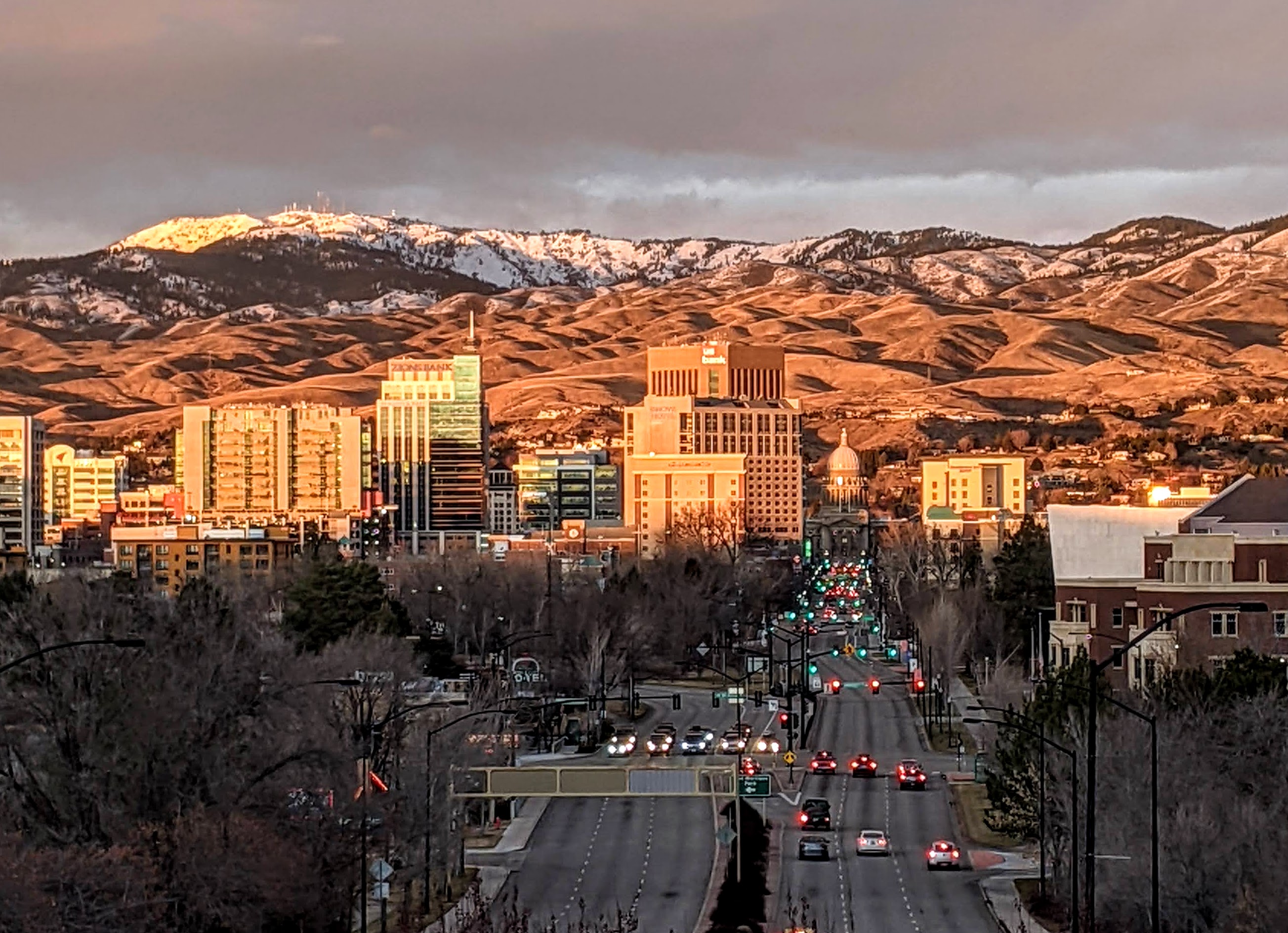
Boise (, , ) is the capital and most populous city of the U.S. state of Idaho and is the county seat of Ada County. On the Boise River in southwestern Idaho, it is east of the Oregon border and north of the Nevada border. The downtown area's elevation is above sea level. The population according to the 2020 US Census was 235,684. The Boise metropolitan area, also known as the Treasure Valley, includes five counties with a combined population of 749,202, the most populous metropolitan area in Idaho. It contains the state's three largest cities: Boise, Nampa, and Meridian. Boise is the 77th most populous metropolitan statistical area in the United States. Downtown Boise is the cultural center and home to many small businesses and a number of high-rise buildings. The area has a variety of shops and restaurants. Centrally, 8th Street contains a pedestrian zone with sidewalk cafes and restaurants. The neighborhood has many local restaurants, bars, and boutiques. The are ... [...More Info...] [...Related Items...] OR: [Wikipedia] [Google] [Baidu] |
Idaho
Idaho ( ) is a state in the Pacific Northwest region of the Western United States. To the north, it shares a small portion of the Canada–United States border with the province of British Columbia. It borders the states of Montana and Wyoming to the east, Nevada and Utah to the south, and Washington and Oregon to the west. The state's capital and largest city is Boise. With an area of , Idaho is the 14th largest state by land area, but with a population of approximately 1.8 million, it ranks as the 13th least populous and the 7th least densely populated of the 50 U.S. states. For thousands of years, and prior to European colonization, Idaho has been inhabited by native peoples. In the early 19th century, Idaho was considered part of the Oregon Country, an area of dispute between the U.S. and the British Empire. It officially became U.S. territory with the signing of the Oregon Treaty of 1846, but a separate Idaho Territory was not organized until 1863, instead ... [...More Info...] [...Related Items...] OR: [Wikipedia] [Google] [Baidu] |
Charles M
Charles is a masculine given name predominantly found in English and French speaking countries. It is from the French form ''Charles'' of the Proto-Germanic name (in runic alphabet) or ''*karilaz'' (in Latin alphabet), whose meaning was "free man". The Old English descendant of this word was '' ÄŠearl'' or ''ÄŠeorl'', as the name of King Cearl of Mercia, that disappeared after the Norman conquest of England. The name was notably borne by Charlemagne (Charles the Great), and was at the time Latinized as ''Karolus'' (as in ''Vita Karoli Magni''), later also as '' Carolus''. Some Germanic languages, for example Dutch and German, have retained the word in two separate senses. In the particular case of Dutch, ''Karel'' refers to the given name, whereas the noun ''kerel'' means "a bloke, fellow, man". Etymology The name's etymology is a Common Germanic noun ''*karilaz'' meaning "free man", which survives in English as churl (< Old English ''Ä‹eorl''), which developed its dep ... [...More Info...] [...Related Items...] OR: [Wikipedia] [Google] [Baidu] |
Santa Rosa, California
Santa Rosa (Spanish language, Spanish for "Rose of Lima, Saint Rose") is a city and the county seat of Sonoma County, California, Sonoma County, in the North Bay (San Francisco Bay Area), North Bay region of the San Francisco Bay Area, Bay Area in California. Its estimated 2019 population was 178,127. It is the largest city in California's Wine Country and Redwood Empire, Redwood Coast. It is the fifth most populous city in the Bay Area after San Jose, California, San Jose, San Francisco, Oakland, California, Oakland, and Fremont, California, Fremont; and the List of largest California cities by population, 25th most populous city in California. History Early history Before the arrival of Europeans, what became known as the Santa Rosa Plain was occupied by a strong and populous tribe of Pomo natives known as the Bitakomtara. The Bitakomtara controlled the area closely, barring passage to others until permission was arranged. Those who entered without permission were subject t ... [...More Info...] [...Related Items...] OR: [Wikipedia] [Google] [Baidu] |
Palm Springs International Airport
Palm Springs International Airport , formerly Palm Springs Municipal Airport, is an airport two miles (3 km) east of downtown Palm Springs, California, United States. The airport covers and has two runways. The facility operates year-round, with most flights occurring in the fall, winter, and spring. The airport was named as number 3 in a 2011 list of "America's Most Stress-Free Airports" by ''Smarter Travel''. History Military use PSP was built as a United States Army Air Corps emergency landing field in 1939 on land owned by the Agua Caliente Band of Cahuilla Indians due to its clear weather and its proximity to March Field and the Los Angeles area. In March 1941, the War Department certified improvements to the existing airport in Palm Springs as essential to National Defense. The airport was approved to serve as a staging field by the Air Corps Ferrying Command 21st Ferrying Group in November 1941. Land was acquired to build a major airfield a half mile from the old ... [...More Info...] [...Related Items...] OR: [Wikipedia] [Google] [Baidu] |
Palm Springs, California
Palm Springs (Cahuilla: ''SĂ©c-he'') is a desert resort city in Riverside County, California, United States, within the Colorado Desert's Coachella Valley. The city covers approximately , making it the largest city in Riverside County by land area. With multiple plots in checkerboard pattern, more than 10% of the city is part of the Agua Caliente Band of Cahuilla Indians reservation land and is the administrative capital of the most populated reservation in California. The population of Palm Springs was 44,575 as of the 2020 census, but because Palm Springs is a retirement location and a winter snowbird destination, the city's population triples between November and March. The city is noted for its mid-century modern architecture, design elements, arts and cultural scene, and recreational activities. History Founding Pre-colonial history The first humans to settle in the area were the Cahuilla people, who arrived 2,000 years ago.Baker, Christopher P. (2008). ''E ... [...More Info...] [...Related Items...] OR: [Wikipedia] [Google] [Baidu] |
Ontario International Airport
Ontario International Airport is an international airport two miles east of downtown Ontario, California, Ontario, in San Bernardino County, California, United States, about east of downtown Los Angeles and west of downtown San Bernardino. It is owned and operated under a joint-powers agreement with the city of Ontario and San Bernardino County. The airport covers and has two parallel runways. It is the West Coast air and truck hub for United Parcel Service, UPS Airlines and is a major distribution point for FedEx Express. , ONT has more than 64 daily departures and arrivals. Since Ontario's longest runway (runway 8L/26R) is longer than three of the four runways at Los Angeles International Airport (LAX), it is an alternate landing site for large aircraft destined for LAX. History Origins In 1923, a landing field was established east of Central Avenue ( west of the current airport) on land leased from the Union Pacific Railroad. The airfield was named Latimer Field after an ... [...More Info...] [...Related Items...] OR: [Wikipedia] [Google] [Baidu] |
Ontario, California
Ontario is a city in southwestern San Bernardino County in the U.S. state of California, east of downtown Los Angeles and west of downtown San Bernardino, the county seat. Located in the western part of the Inland Empire metropolitan area, it lies just east of Los Angeles County and is part of the Greater Los Angeles Area. As of the 2020 Census, the city had a population of 175,265. The city is home to the Ontario International Airport, which is the 15th-busiest airport in the United States by cargo carried. Ontario handles the mass of freight traffic between the ports of Los Angeles and Long Beach and the rest of the country. It takes its name from the Ontario Model Colony development established in 1882 by the Canadian engineer George Chaffey and his brothers William Chaffey and Charles Chaffey. They named the settlement after their home province of Ontario. History Ontario was originally inhabited by only the Tongva Indians until Franciscans arrived developing th ... [...More Info...] [...Related Items...] OR: [Wikipedia] [Google] [Baidu] |


.jpg)


.jpg)
.jpg)