|
A4060 Road
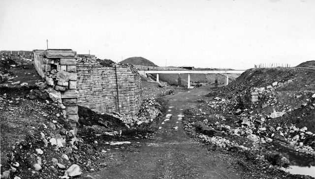
The A4060, also known as the East of Abercynon to East of Dowlais Trunk Road, is a trunk road in Wales. Route The road starts at A470 The Pentrebach Roundabout South of Merthyr Tydfil. This first stretch is a 3 lane single carriageway road that was the old A470. It then comes to a roundabout by the Hoover Plant and The Premier Inn where there are links to Aberfan and Troedyrhiw via the A4054, Merthyr Town Centre via the A4054 (the old A470). The A4060 then leads to another roundabout a few yards up with turn offs to The Triangle Business Park and the Co Op Supermarket. After this roundabout the road becomes a dual carriageway with quite a steep Hill Climb. After about 3 miles there is another roundabout which has links to Mountain Hare and Dowlais Ind Est and the A4102. The other link is a Mountain Road to Cwm Bargoed and Fochriw. After the Roundabout the dual carriageway continues to Dowlais Top where there are links to Dowlais via the A4102, Neath (Brecon A470) via the A46 ... [...More Info...] [...Related Items...] OR: [Wikipedia] [Google] [Baidu] |
Dual Carriageway
A dual carriageway ( BE) or divided highway ( AE) is a class of highway with carriageways for traffic travelling in opposite directions separated by a central reservation (BrE) or median (AmE). Roads with two or more carriageways which are designed to higher standards with controlled access are generally classed as motorways, freeways, etc., rather than dual carriageways. A road without a central reservation is a single carriageway regardless of the number of lanes. Dual carriageways have improved road traffic safety over single carriageways and typically have higher speed limits as a result. In some places, express lanes and local/collector lanes are used within a local-express-lane system to provide more capacity and to smooth traffic flows for longer-distance travel. History A very early (perhaps the first) example of a dual carriageway was the ''Via Portuensis'', built in the first century by the Roman emperor Claudius between Rome and its port Ostia at the mouth of t ... [...More Info...] [...Related Items...] OR: [Wikipedia] [Google] [Baidu] |
Merthyr Tydfil
Merthyr Tydfil (; cy, Merthyr Tudful ) is the main town in Merthyr Tydfil County Borough, Wales, administered by Merthyr Tydfil County Borough Council. It is about north of Cardiff. Often called just Merthyr, it is said to be named after Tydfil, daughter of Brychan Brycheiniog, King Brychan of Brycheiniog, who according to legend was slain at Merthyr by pagans about 480 CE. generally means "Martyr of the Faith, martyr" in modern Welsh, but here closer to the Latin : a place of worship built over a martyr's relics. Similar place names in south Wales are Merthyr Cynog, Merthyr Dyfan and Merthyr Mawr. History Pre-history Peoples migrating north from Europe had lived in the area for many thousands of years. The archaeological record starts from about 1000 BC with the Celts. From their language, the Welsh language developed. Hillforts were built during the British Iron Age, Iron Age and the tribe that inhabited them in the south of Wales was called the Silures, according to Tacitu ... [...More Info...] [...Related Items...] OR: [Wikipedia] [Google] [Baidu] |
Carillion
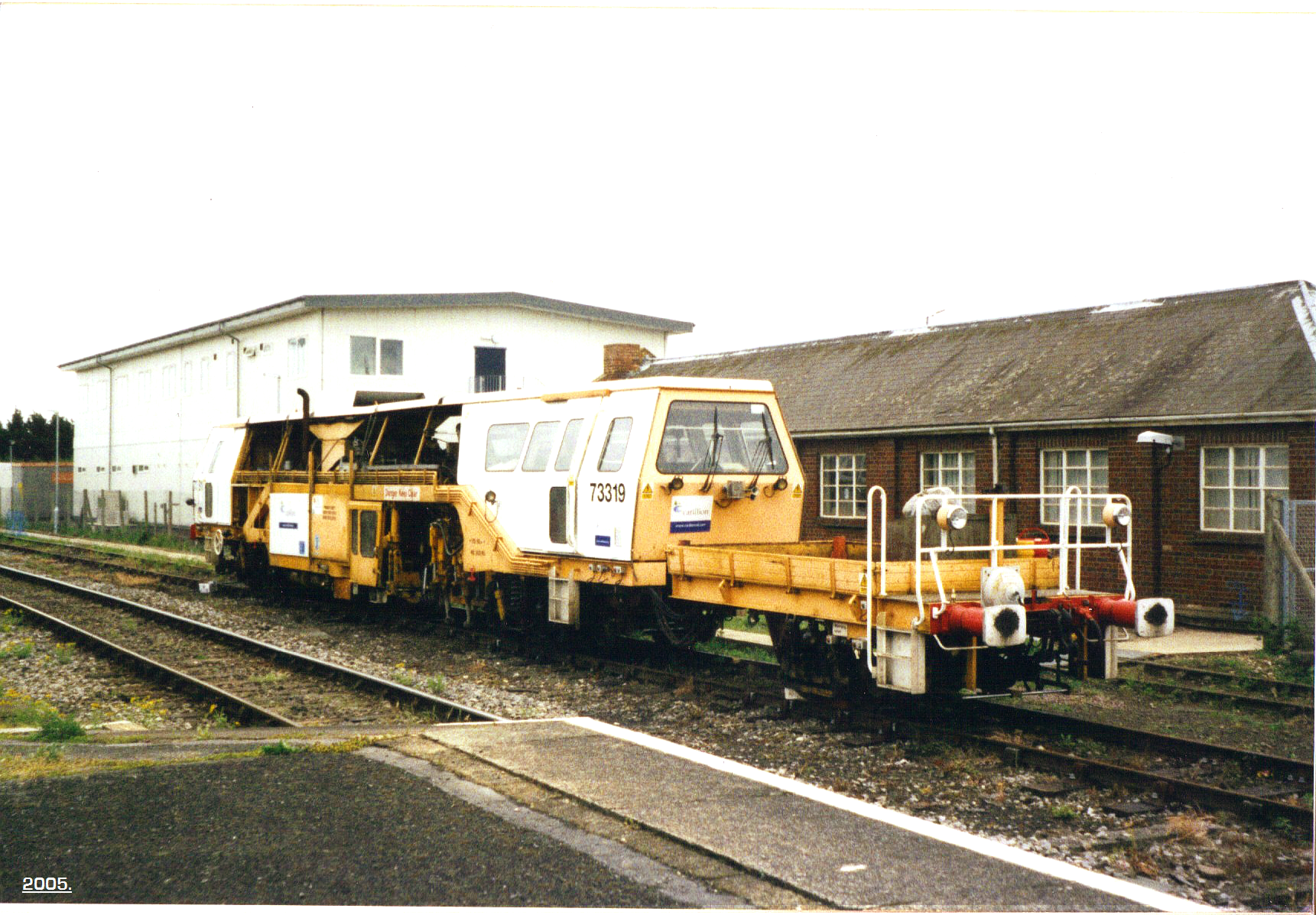
Carillion plc was a British multinational construction and facilities management services company headquartered in Wolverhampton in the United Kingdom, prior to its liquidation in January 2018. Carillion was created in July 1999, following a demerger from Tarmac. It grew through a series of acquisitions to become the second largest construction company in the United Kingdom, was listed on the London Stock Exchange, and in 2016 had some 43,000 employees (18,257 of them in the United Kingdom). Concerns about Carillion's debt situation were raised in 2015, and after the company experienced financial difficulties in 2017, it went into compulsory liquidation on 15 January 2018, the most drastic procedure in UK insolvency law, with liabilities of almost £7 billion. In the United Kingdom, the insolvency caused project shutdowns and delays in the UK and overseas (PFI projects in Ireland were suspended, while four of Carillion's Canadian businesses sought legal bankruptcy protection) ... [...More Info...] [...Related Items...] OR: [Wikipedia] [Google] [Baidu] |
Wales
Wales ( cy, Cymru ) is a Countries of the United Kingdom, country that is part of the United Kingdom. It is bordered by England to the Wales–England border, east, the Irish Sea to the north and west, the Celtic Sea to the south west and the Bristol Channel to the south. It had a population in 2021 of 3,107,500 and has a total area of . Wales has over of coastline and is largely mountainous with its higher peaks in the north and central areas, including Snowdon (), its highest summit. The country lies within the Temperateness, north temperate zone and has a changeable, maritime climate. The capital and largest city is Cardiff. Welsh national identity emerged among the Celtic Britons after the Roman withdrawal from Britain in the 5th century, and Wales was formed as a Kingdom of Wales, kingdom under Gruffydd ap Llywelyn in 1055. Wales is regarded as one of the Celtic nations. The Conquest of Wales by Edward I, conquest of Wales by Edward I of England was completed by 1283, th ... [...More Info...] [...Related Items...] OR: [Wikipedia] [Google] [Baidu] |
A470
The A470 (also named the Cardiff to Glan Conwy Trunk Road) is a trunk road in Wales. It is the country's longest road at and links the capital Cardiff on the south coast to Llandudno on the north coast. While previously one had to navigate the narrow roads of Llanidloes and Dolgellau, both these market towns are now bypassed due to extensive road modernisation. The from Cardiff Bay to Merthyr Tydfil are mainly dual carriageway, but most of the route from north of Merthyr to Llandudno is single carriageway. Route National parks The road travels through two of the national parks of Wales: the Brecon Beacons, and Snowdonia National Park starting just south of Dinas Mawddwy. Cardiff Bay – Merthyr Tydfil The southernmost point of the route is in Cardiff Bay, outside the Wales Millennium Centre. It runs up Lloyd George Avenue (this was previously Collingdon Road, and the A470 previously ran along the parallel Bute Street), and continues along St. Mary Street in central Card ... [...More Info...] [...Related Items...] OR: [Wikipedia] [Google] [Baidu] |
Aberfan
Aberfan () is a former coal mining village in the Taff Valley south of the town of Merthyr Tydfil, Wales. On 21 October 1966, it became known for the Aberfan disaster, when a colliery spoil tip collapsed into homes and a school, killing 116 children and 28 adults. Geography Aberfan is situated toward the bottom of the western valley slope of the River Taff, on the eastern slope of Mynydd Merthyr hill, about south of the town Merthyr Tydfil. The Taff runs north-to-south through the village; at the upper side of the settlement, on the western outskirts, a disused Glamorganshire Canal bed and a railway embankment run parallel to the river. History Aberfan consisted of two cottages and an inn frequented by local farmers and bargemen until 23 August 1869, when John Nixon and his partners started the Merthyr Vale Colliery. Between 1952 and 1965, with mountains denuded there was severe flooding in the Pantglas area of Aberfan on at least 11 occasions. By 1966 the population had ... [...More Info...] [...Related Items...] OR: [Wikipedia] [Google] [Baidu] |
A4054 Road
The A4054 is an A Road connecting Llandaff, Cardiff with Merthyr Tydfil in Wales and mostly follows the former route of the A470. Settlements on route Settlements served by the road include: *Llandaff *Llandaff North * Whitchurch * Coryton *Tongwynlais *Taff's Well *Rhydyfelin *Treforest *Pontypridd *Abercynon *Quakers Yard *Merthyr Vale *Troedyrhiw *Pentrebach *Merthyr Tydfil *Cefn-Coed-y-Cymmer Cefn-coed-y-cymmer () is a small community on the northwestern edge of Merthyr Tydfil County Borough in Wales. It is situated in the neck of land between the rivers Taf Fawr and Taf Fechan at their confluence (Welsh: 'cymer'). The village lies ... Sources * OS 1:25000 (as accessed via Bing Maps) {{DEFAULTSORT:4-4054 Roads in Cardiff Roads in Rhondda Cynon Taf Roads in Merthyr Tydfil ... [...More Info...] [...Related Items...] OR: [Wikipedia] [Google] [Baidu] |
Dowlais
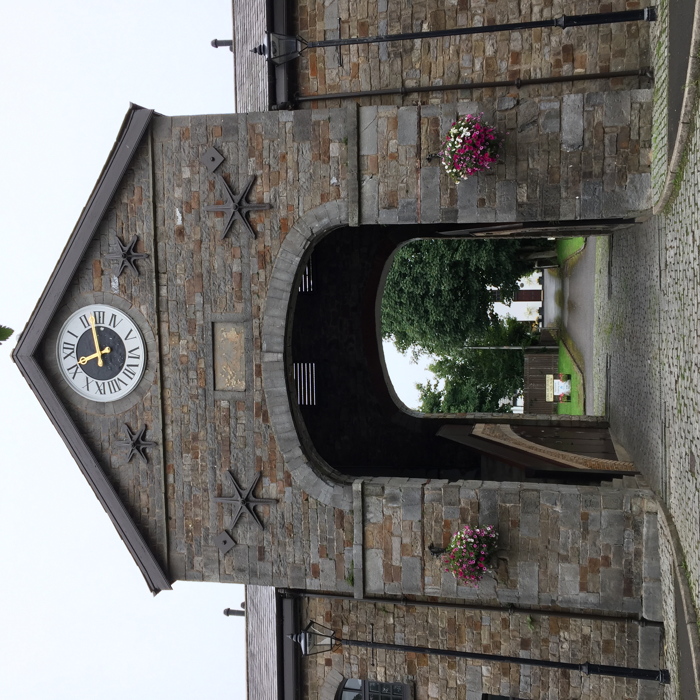
Dowlais () is a village and community of the county borough of Merthyr Tydfil, in Wales. At the 2011 census the electoral ward had a population of 6,926, The population of the Community being 4,270 at the 2011 census having excluded Pant. Dowlais is notable within Wales and Britain for its historic association with ironworking; once employing, through the Dowlais Iron Company, roughly 5,000 people, the works being the largest in the world at one stage. Name The name is derived from the Welsh ''du'' meaning 'black' and ''glais'' meaning 'stream'. History Dowlais came to prominence in the 18th and 19th centuries because of its iron and steelworks. By the mid-1840s there were between 5000 and 7000 men, women and children employed in the Dowlais works. During the early to mid 1800s the ironworks were operated by Sir John Josiah Guest and (from 1833) his wife Lady Charlotte Guest. Charlotte Guest introduced welfare schemes for the ironworkers. She provided for a church and a libra ... [...More Info...] [...Related Items...] OR: [Wikipedia] [Google] [Baidu] |
A4102 Road
List of A roads in zone 4 in Great Britain Great Britain is an island in the North Atlantic Ocean off the northwest coast of continental Europe. With an area of , it is the largest of the British Isles, the largest European island and the ninth-largest island in the world. It is ... starting north of the A4 and south/west of the A5 (roads beginning with 4). __TOC__ Single- and double-digit roads Triple-digit roads Only roads that have individual articles have been linked in the "Road" column below. Four-digit roads (40xx) Four-digit roads (41xx) Four-digit roads (42xx and higher) References {{UK road lists 4 4 ... [...More Info...] [...Related Items...] OR: [Wikipedia] [Google] [Baidu] |
Neath
Neath (; cy, Castell-nedd) is a market town and Community (Wales), community situated in the Neath Port Talbot, Neath Port Talbot County Borough, Wales. The town had a population of 50,658 in 2011. The community of the parish of Neath had a population of 19,258 in 2011. Historic counties of Wales, Historically in Glamorgan, the town is located on the River Neath, east-northeast of Swansea. Etymology The town's English name ultimately derives from "" the original Welsh name for the River Neath and is known to be Proto-Celtic language, Celtic or Pre-Celtic. A meaning of 'shining' or 'brilliant' has been suggested, as has a link to the older Indo-European root ' (simply meaning 'river'). As such, the town may share its etymology with the town of Stratton, Cornwall and the River Nidd in Northern England. History Roman fort The town is located at a ford (crossing), ford of the River Neath and its strategic situation is evident by a number of Celts, Celtic hill forts, surrounding ... [...More Info...] [...Related Items...] OR: [Wikipedia] [Google] [Baidu] |
A465
The A465 is a trunk road that runs from Bromyard in Herefordshire, England to Llandarcy near Swansea in South Wales. The western half is known officially as the Neath to Abergavenny Trunk Road, but the section from Abergavenny to the Vale of Neath is more commonly referred to as the Heads of the Valleys Road because it links the northern heads of the South Wales Valleys. Approximately following the southern boundary of the Brecon Beacons National Park, the Ordnance Survey ''Pathfinder'' guide describes it as the unofficial border between rural and industrial South Wales. The A465 provides an alternative route between England and the counties in South West Wales and to the ferries to Ireland. Route The A465 runs south-west from Bromyard towards the River Lugg, from where it runs concurrently with the A4103 for a short distance before entering Hereford. After a short distance on the A49, it crosses the River Wye, the River Monnow and the border into Wales. The A465 meets t ... [...More Info...] [...Related Items...] OR: [Wikipedia] [Google] [Baidu] |
Abergavenny
Abergavenny (; cy, Y Fenni , archaically ''Abergafenni'' meaning "mouth of the River Gavenny") is a market town and community in Monmouthshire, Wales. Abergavenny is promoted as a ''Gateway to Wales''; it is approximately from the border with England and is located where the A40 trunk road and the A465 Heads of the Valleys road meet. Originally the site of a Roman fort, Gobannium, it became a medieval walled town within the Welsh Marches. The town contains the remains of a medieval stone castle built soon after the Norman conquest of Wales. Abergavenny is situated at the confluence of the River Usk and a tributary stream, the Gavenny. It is almost entirely surrounded by mountains and hills: the Blorenge (), the Sugar Loaf (), Ysgyryd Fawr (Great Skirrid), Ysgyryd Fach (Little Skirrid), Deri, Rholben and Mynydd Llanwenarth, known locally as " Llanwenarth Breast". Abergavenny provides access to the nearby Black Mountains and the Brecon Beacons National Park. The M ... [...More Info...] [...Related Items...] OR: [Wikipedia] [Google] [Baidu] |
_1.jpg)


