|
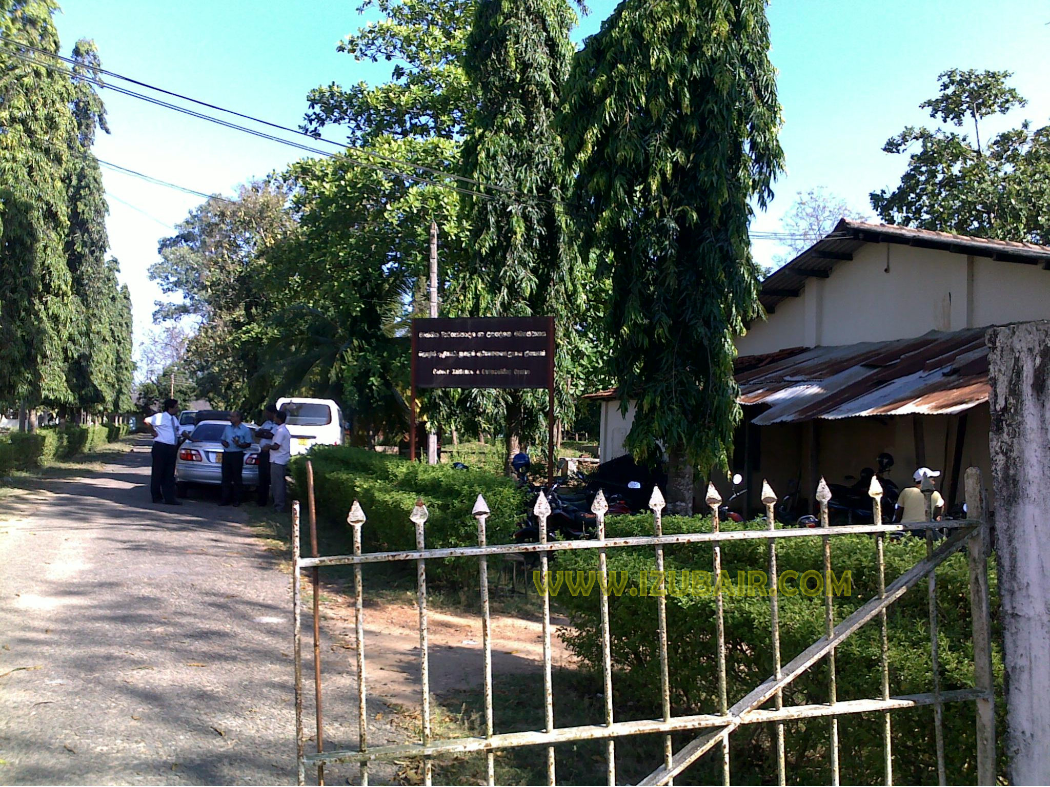
A31 Highway (Sri Lanka)
The A 31 road is an A-Grade trunk road in Sri Lanka. It connects Ampara with Karaitivu. The A 31 passes through Sammanthurai Sammanthurai ( ta, சம்மாந்துறை, translit=Cam'māntuṟai; si, සමන්තර, translit=Samantara, si, සම්මාන්තුරේ , translit=Sammānturē), is a town in Ampara District of Eastern Province of Sri L ... to reach Karaitivu. References {{SriLanka-road-stub Highways in Sri Lanka Transport in Eastern Province, Sri Lanka ... [...More Info...] [...Related Items...] OR: [Wikipedia] [Google] [Baidu] |
List Of A-Grade Highways In Sri Lanka
This is a list of A-grade roads in Sri Lanka sorted by route number. A class roads are further classified in to sub classes AA, AB and AC. Roads Class AA Roads Class AB Roads Class AC Roads See also * List of B-Grade highways in Sri Lanka * List of E-Grade expressways in Sri Lanka * List of roads and highways * Highway museum complex, Kiribathkumbura References {{Economy of Sri Lanka Highways in Sri Lanka, A Lists of roads by country, Sri Lanka Sri Lanka transport-related lists, Highways ... [...More Info...] [...Related Items...] OR: [Wikipedia] [Google] [Baidu] |
Ampara
Ampara ( si, අම්පාර, ta, அம்பாறை) is the main town of Ampara District, governed by an Urban Council. It is located in the Eastern Province, Sri Lanka, about east of Colombo and approximately south of Batticaloa. History This was a hunters' resting place during British colonial days (late 1890s and early 1900). During the development of the Gal Oya scheme from 1949 by the Prime Minister D. S. Senanayake Don Stephen Senanayake ( si, දොන් ස්ටීවන් සේනානායක,; ta, டி. எஸ். சேனநாயக்கா; 21 October 1884 – 22 March 1952) was a Ceylonese statesman. He was the first Prime Mi ..., Ampara was transformed into a town. Initially it was the residence for the construction workers of Inginiyagala Dam. Later it became the main administrative town of the Gal Oya Valley. References Towns in Ampara District Ampara DS Division {{EasternLK-geo-stub ... [...More Info...] [...Related Items...] OR: [Wikipedia] [Google] [Baidu] |
Karaitivu (Ampara)
Karaitivu ( ta, காரைதீவு, si, කාරතීවු) is a coastal village situated in the Eastern Coast of Sri Lanka about 30 miles (44 km) south of Batticaloa and is next to Kalmunai town. This is one of the oldest surviving village settlements in the Ampara District.Karaitivu Tsunami appeal Karaitivu.com (English) Landscape The village has 9–10 square meter area with 4 km long continuous sea boundary on the East and contains paddy lands on the West. Kalmunai, a commercial town with Muslim majority borders the North and Ninthavur, another Muslim dominant village is on its South. The sandy soil beach front extends to about less than 300 meters before a Creek (tidal), creek of about 20 meters running parallel to the sea and connects the sea almost at the end of the villag ...[...More Info...] [...Related Items...] OR: [Wikipedia] [Google] [Baidu] |
Sammanthurai
Sammanthurai ( ta, சம்மாந்துறை, translit=Cam'māntuṟai; si, සමන්තර, translit=Samantara, si, සම්මාන්තුරේ , translit=Sammānturē), is a town in Ampara District of Eastern Province of Sri Lanka. Sammanthurai situated at , is 4.8 km west of the Bay of Bengal coast. It lies between the towns of Ampara and Karaitivu along the A31 road. It is surrounded by paddy fields and it is renowned for its rice paddies and its inner harbour from ancient times. Sammanthurai is the birthplace of M. H. M. Ashraff, known as "The Kingmaker" and the founder of the Sri Lanka Muslim Congress political party. History Sammanthurai is an important and historical place of Sri Lanka. It was the first place where Dutch people arrived in Sri Lanka. Sammanthurai derives its name from ‘Sampan,’ the vessel, Thurai , the Harbor or port and the sailor of Sampan called as 'Hambankaraya' (Sinhala) or ‘Sammankaran’(Tamil) who were Muslims from ... [...More Info...] [...Related Items...] OR: [Wikipedia] [Google] [Baidu] |
Highways In Sri Lanka
A highway is any public or private road or other public way on land. It is used for major roads, but also includes other public roads and public tracks. In some areas of the United States, it is used as an equivalent term to controlled-access highway, or a translation for ''autobahn'', '' autoroute'', etc. According to Merriam Webster, the use of the term predates the 12th century. According to Etymonline, "high" is in the sense of "main". In North American and Australian English, major roads such as controlled-access highways or arterial roads are often state highways (Canada: provincial highways). Other roads may be designated "county highways" in the US and Ontario. These classifications refer to the level of government (state, provincial, county) that maintains the roadway. In British English, "highway" is primarily a legal term. Everyday use normally implies roads, while the legal use covers any route or path with a public right of access, including footpaths etc. The ... [...More Info...] [...Related Items...] OR: [Wikipedia] [Google] [Baidu] |

.jpg)