|
7th Ward Of New Orleans
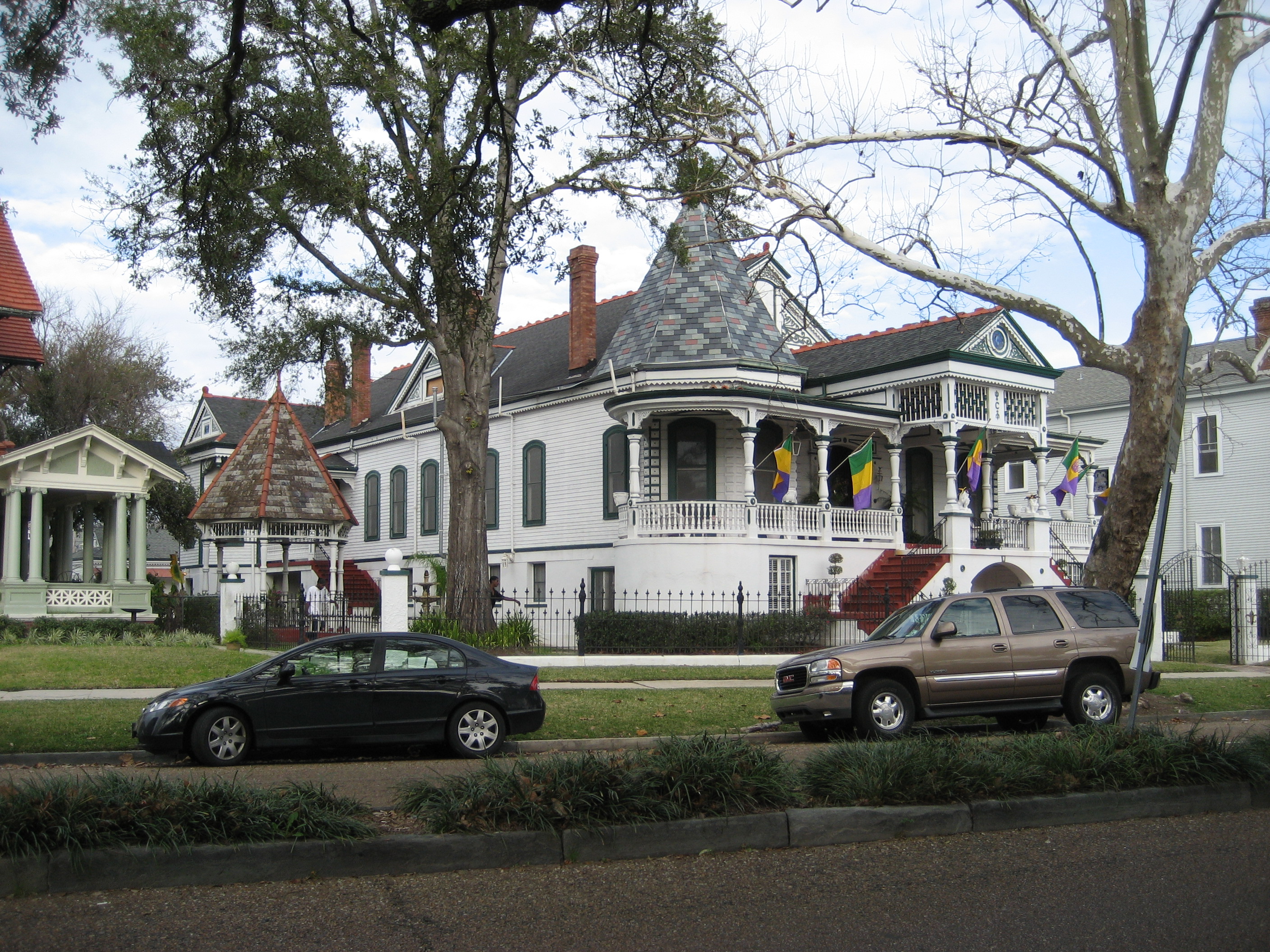
The 7th Ward is a section of New Orleans, Louisiana. It is geographically the third largest of the 17 Wards of New Orleans, after the 9th Ward and 15th Ward. New Orleans Districts and Wards Boundaries and geography The 7th Ward stretches from the Mississippi River to Lake Pontchartrain. The eastern, or "lower" boundary is Elysian Fields Avenue, the boundary with the 8th Ward. In the "up-river" direction to the south-west, the boundary is Esplanade Avenue, the border with the 6th Ward; then from where Esplanade meets Bayou St. John the boundary follows the bayou north to the lake, with the 5th Ward being across the bayou. Features and landmarks The London Avenue Canal runs through the ward from just in from Gentilly Ridge to the Lake. Dillard University is in the Ward, as is most of the University of New Orleans campus near the lakefront. The New Orleans Fairgrounds, home to horse racing and the New Orleans Jazz & Heritage Festival, is just back from Esplanade Avenue, as is Sai ... [...More Info...] [...Related Items...] OR: [Wikipedia] [Google] [Baidu] |
Horse Racing
Horse racing is an equestrian performance sport, typically involving two or more horses ridden by jockeys (or sometimes driven without riders) over a set distance for competition. It is one of the most ancient of all sports, as its basic premise – to identify which of two or more horses is the fastest over a set course or distance – has been mostly unchanged since at least classical antiquity. Horse races vary widely in format, and many countries have developed their own particular traditions around the sport. Variations include restricting races to particular breeds, running over obstacles, running over different distances, running on different track surfaces, and running in different gaits. In some races, horses are assigned different weights to carry to reflect differences in ability, a process known as handicapping. While horses are sometimes raced purely for sport, a major part of horse racing's interest and economic importance is in the gambling associated with ... [...More Info...] [...Related Items...] OR: [Wikipedia] [Google] [Baidu] |
Lionel Ferbos
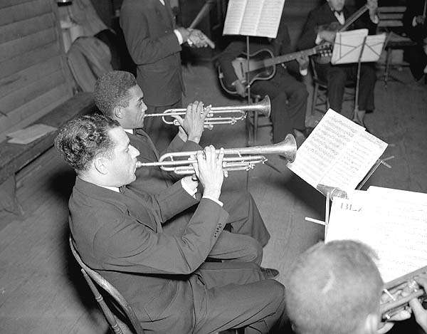
Lionel Charles Ferbos (July 17, 1911 – July 19, 2014) was an American jazz trumpeter. He was from New Orleans, Louisiana. At 103, Ferbos was the oldest jazz musician in New Orleans. A native New Orleanian whose career centered almost exclusively in the city, he appeared weekly at thPalm Court Jazz Cafe a French Quarter club, where he led the Palm Court Jazz Band on Saturday nights. During his long career, Ferbos worked with some of the giants of early traditional jazz, including Captain John Handy and Mamie Smith, and, in later years, with widely recognized contemporary revivals of the old style music like the original stage band of the off-Broadway hit ''One Mo' Time''. He played at all of thNew Orleans Jazz & Heritage Festivals Early life Lionel Ferbos was born on July 17, 1911, in New Orleans, in the city's Creole 7th Ward. He said he had asthma and his parents would not let him take up a wind instrument, but when he was 15 he saw Phil Spitalny's all-girl orchestra at th ... [...More Info...] [...Related Items...] OR: [Wikipedia] [Google] [Baidu] |
Effect Of Hurricane Katrina On New Orleans
As the center of Hurricane Katrina passed southeast of New Orleans on August 29, 2005, winds downtown were in the Category 1 range with frequent intense gusts. The storm surge caused approximately 23 breaches in the drainage canal and navigational canal levees and flood walls. As mandated in the Flood Control Act of 1965, responsibility for the design and construction of the city's levees belongs to the United States Army Corps of Engineers and responsibility for their maintenance belongs to the Orleans Levee Board. The failures of levees and flood walls during Katrina are considered by experts to be the worst engineering disaster in the history of the United States. By August 31, 2005, 80% of New Orleans was flooded, with some parts under of water. The famous French Quarter and Garden District escaped flooding because those areas are above sea level. The major breaches included the 17th Street Canal levee, the Industrial Canal levee, and the London Avenue Canal flood wall ... [...More Info...] [...Related Items...] OR: [Wikipedia] [Google] [Baidu] |
Hurricane Katrina
Hurricane Katrina was a destructive Category 5 Atlantic hurricane that caused over 1,800 fatalities and $125 billion in damage in late August 2005, especially in the city of New Orleans and the surrounding areas. It was at the time the costliest tropical cyclone on record and is now tied with 2017's Hurricane Harvey. The storm was the twelfth tropical cyclone, the fifth hurricane, and the third major hurricane of the 2005 Atlantic hurricane season, as well as the fourth-most intense Atlantic hurricane on record to make landfall in the contiguous United States. Katrina originated on August 23, 2005, as a tropical depression from the merger of a tropical wave and the remnants of Tropical Depression Ten. Early the following day, the depression intensified into a tropical storm as it headed generally westward toward Florida, strengthening into a hurricane two hours before making landfall at Hallandale Beach on August 25. After briefly weakening to tropical storm strength o ... [...More Info...] [...Related Items...] OR: [Wikipedia] [Google] [Baidu] |
Drainage In New Orleans
Drainage in New Orleans, Louisiana, has been a major concern since the founding of the city in the early 18th century, remaining an important factor in the history of New Orleans today. The central portion of metropolitan New Orleans (New Orleans/ Metairie/Kenner) is fairly unusual in that it is almost completely surrounded by water: Lake Pontchartrain to the north, Lake Borgne to the east, wetlands to the east and west, and the Mississippi River to the south. Half of the land area between these bodies of water is at or below sea level, and no longer has a natural outlet for flowing surface water. As such, virtually all rainfall occurring within this area must be removed through either evapotranspiration or pumping. Thus, flood threats to metropolitan New Orleans include the Mississippi River, Lake Pontchartrain, canals throughout the city, and natural rainfall. Artificial levees have been built to keep out rising river and lake waters but have had the negative effect of keeping rai ... [...More Info...] [...Related Items...] OR: [Wikipedia] [Google] [Baidu] |
Louisiana Creole Architecture
Louisiana , group=pronunciation (French: ''La Louisiane'') is a state in the Deep South and South Central regions of the United States. It is the 20th-smallest by area and the 25th most populous of the 50 U.S. states. Louisiana is bordered by the state of Texas to the west, Arkansas to the north, Mississippi to the east, and the Gulf of Mexico to the south. A large part of its eastern boundary is demarcated by the Mississippi River. Louisiana is the only U.S. state with political subdivisions termed parishes, which are equivalent to counties, making it one of only two U.S. states not subdivided into counties (the other being Alaska and its boroughs). The state's capital is Baton Rouge, and its largest city is New Orleans, with a population of roughly 383,000 people. Some Louisiana urban environments have a multicultural, multilingual heritage, being so strongly influenced by a mixture of 18th century Louisiana French, Dominican Creole, Spanish, French Canadian, Acadian, ... [...More Info...] [...Related Items...] OR: [Wikipedia] [Google] [Baidu] |
Milneburg
Milneburg was a town on the southern shore of Lake Pontchartrain in Louisiana that was absorbed into the city of New Orleans. A neighborhood to the south of this area is still sometimes known by this name; the former location of Milneburg is now in the Lake Terrace/Lake Oaks, New Orleans section, mostly under the current campus of the University of New Orleans. History Milneburg was named for landowner-developer Alexander Milne. However local pronunciation came to call it "Mill-en-burg" or "Mil-lan-burg" instead of "Miln-burg", and the name has often been seen in print misspelled Milenberg and variations. Early on it was officially designated Port Pontchartrain, but the "Milneburg" name soon replaced this for all uses except for United States Coast Guard designation of the lighthouse there, which continued to be listed as "Port Pontchartrain Lighthouse" to 1929. In the early 19th century Milneburg was connected to the city of New Orleans, which was then limited to the riverfron ... [...More Info...] [...Related Items...] OR: [Wikipedia] [Google] [Baidu] |
Pontchartrain Railroad
Pontchartrain Rail-Road was the first railway in New Orleans, Louisiana. Chartered in 1830, the railroad began carrying people and goods between the Mississippi River front and Lake Pontchartrain on 23 April 1831. It closed more than 100 years later. The long gauge line connected the Faubourg Marigny neighborhood of New Orleans along the riverfront with the town of Milneburg on the Lakefront. When built, the majority of the distance of the route between neighborhoods at either end of the route was a mixture of farmland, woods, and swamp. The route of the railway ran down the center of Elysian Fields Avenue. It was the third common carrier railroad to officially open for service to the public in the United States, following the Baltimore and Ohio and the South Carolina Canal and Rail Road Company. Early history Meetings discussing building a railway between the river and lake began in 1828. The Pontchartrain Rail-Road was chartered on 20 January 1830. The right-of-way was appro ... [...More Info...] [...Related Items...] OR: [Wikipedia] [Google] [Baidu] |
Faubourg Marigny
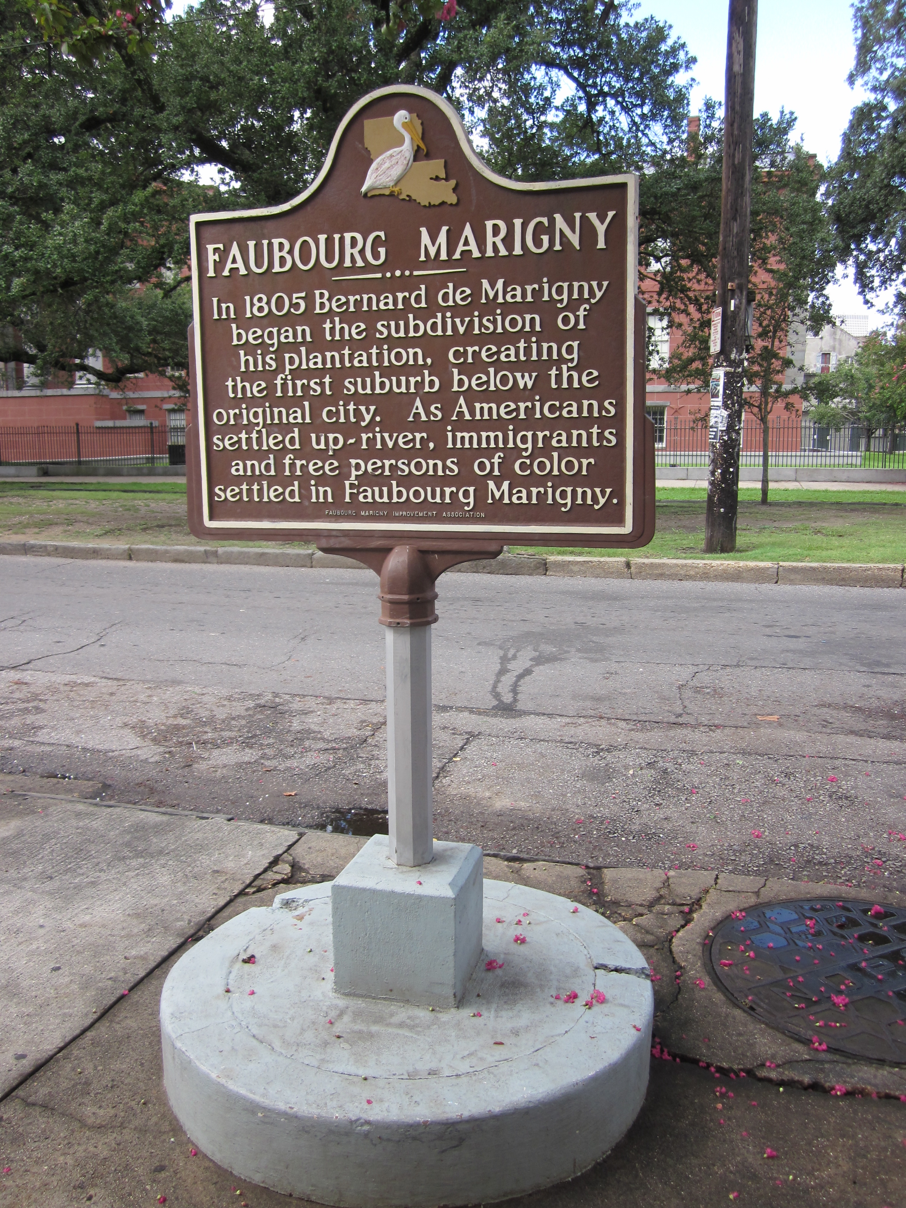
The Faubourg Marigny ( ; sometimes called The Marigny) is a neighborhood of the city of New Orleans, Louisiana, United States. Its boundaries, as defined by the City Planning Commission, are North Rampart Street and St. Claude Avenue to the north, the railroad tracks along Homer Plessy Way (formerly Press Street) to the east, the Mississippi River to the south, and Esplanade Avenue to the west. Geography The Faubourg Marigny is located at and has an elevation of . According to the United States Census Bureau, the district has a total area of . of which is land and (6.06%) of which is water. In the 19th century, the Faubourg Marigny was the old Third Municipality of New Orleans. The triangular area between Esplanade and Elysian Fields Avenue is sometimes called the ''Marigny Triangle'' and is part of the 7th Ward of New Orleans. The remainder is in the 8th and 9th wards of New Orleans. Adjacent neighborhoods * Seventh Ward (north) * St. Roch (north) * Bywater (east) * ... [...More Info...] [...Related Items...] OR: [Wikipedia] [Google] [Baidu] |
French Quarter
The French Quarter, also known as the , is the oldest neighborhood in the city of New Orleans. After New Orleans (french: La Nouvelle-Orléans) was founded in 1718 by Jean-Baptiste Le Moyne de Bienville, the city developed around the ("Old Square" in English), a central square. The district is more commonly called the French Quarter today, or simply "The Quarter," related to changes in the city with American immigration after the 1803 Louisiana Purchase. Most of the extant historic buildings were constructed either in the late 18th century, during the city's period of Spanish rule, or were built during the first half of the 19th century, after U.S. purchase and statehood. The district as a whole has been designated as a National Historic Landmark, with numerous contributing buildings that are separately deemed significant. It is a prime tourist destination in the city, as well as attracting local residents. Because of its distance from areas where the levee was breached during ... [...More Info...] [...Related Items...] OR: [Wikipedia] [Google] [Baidu] |


