|
32nd Alaska State Legislature
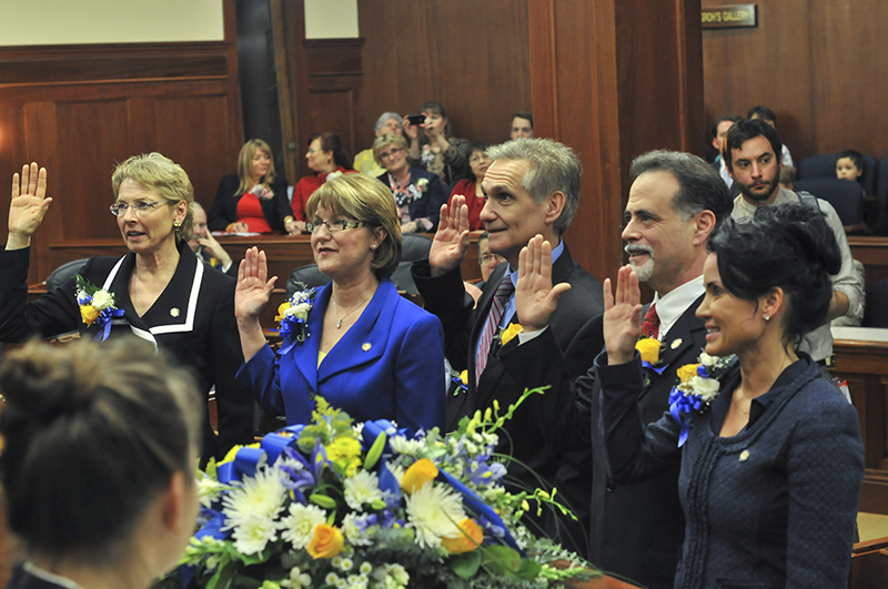
The 32nd Alaska State Legislature is the current meeting of the legislative branch of Alaska's state government. It began meeting in Juneau, Alaska on January 19, 2021 and will hold authority until January 2023. Its initial 60-person membership was set by the 2020 Alaska elections, but the Alaska House of Representatives has not yet chosen a leader, and it is not clear which party (or a multipartisan coalition) will be in charge. The Alaska Senate is led by a 14-member majority that includes 13 Republicans and one Democratic member. Senate ↑: Senator was originally appointed : Terms listed as up for election in 2024 are subject to truncation by proclamation of the Alaska Redistricing Board. House ↑: Representative was originally appointed Current composition See also * List of Alaska State Legislatures * 31st Alaska State Legislature, the legislature preceding this one * 33rd Alaska State Legislature, the legislature following this one * List of governors of ... [...More Info...] [...Related Items...] OR: [Wikipedia] [Google] [Baidu] |
Alaska Legislature
The Alaska Legislature is the state legislature of the U.S. state of Alaska. It is a bicameral institution consisting of the 40-member Alaska House of Representatives (lower house) and the 20-member Alaska Senate (upper house). There are 40 House Districts (1–40) and 20 Senate Districts (A–T). With a total of 60 lawmakers, the Alaska Legislature is the smallest bicameral state legislature in the United States and the second-smallest of all state legislatures (only the 49-member unicameral Nebraska Legislature is smaller). There are no term limits for either chamber. The Alaska Legislature meets in the Alaska State Capitol in Juneau, Alaska. The current sitting is the 32nd Alaska State Legislature. Organization Non-professional legislature Unlike other state legislatures with longer sessions, the Alaska Legislature's comparatively short session allows many lawmakers to retain outside employment, especially in the state's many seasonal industries, such as fishing and touris ... [...More Info...] [...Related Items...] OR: [Wikipedia] [Google] [Baidu] |
Juneau, Alaska
The City and Borough of Juneau, more commonly known simply as Juneau ( ; tli, Dzánti K'ihéeni ), is the capital city of the state of Alaska. Located in the Gastineau Channel and the Alaskan panhandle, it is a unified municipality and the second- largest city in the United States by area. Juneau was named the capital of Alaska in 1906, when the government of what was then the District of Alaska was moved from Sitka as dictated by the U.S. Congress in 1900. The municipality unified on July 1, 1970, when the city of Juneau merged with the city of Douglas and the surrounding Greater Juneau Borough to form the current municipality, which is larger by area than both Rhode Island and Delaware. Downtown Juneau () is nestled at the base of Mount Juneau and across the channel from Douglas Island. As of the 2020 census, the City and Borough had a population of 32,255, making it the third-most populous city in Alaska after Anchorage and Fairbanks. Juneau experiences a daily influx o ... [...More Info...] [...Related Items...] OR: [Wikipedia] [Google] [Baidu] |
Tok, Alaska
Tok is a census-designated place (CDP) in Southeast Fairbanks Census Area, Alaska, United States. The population was 1,243 at the 2020 census, slightly down from 1,258 in 2010. Geography Tok lies on a large, flat alluvial plain of the Tanana Valley between the Tanana River and the Alaska Range at an important junction of the Alaska Highway (Alaska Route 2) with the Glenn Highway ( Alaska Route 1). According to the United States Census Bureau, the CDP has a total area of , all of it land. Climate Tok has a dry-winter continental subarctic climate (Köppen ''Dwc'') with generally warm summers and severely cold winters. The weather station is at above sea level. Demographics Tok first appeared on the 1950 U.S. Census as the unincorporated village of "Tok Junction." The name was shortened to Tok as of the 1960 census. It was made a census-designated place (CDP) in 1980. 2000 Census data As of the census of 2000, there were 1,393 people, 534 households, and 372 families resid ... [...More Info...] [...Related Items...] OR: [Wikipedia] [Google] [Baidu] |
Golovin, Alaska
Golovin (formerly Chinik, from ik, Siŋik or esu, Cingik; russian: Головин) is a city in Nome Census Area, Alaska, United States. At the 2010 census the population was 156, up from 144 in 2000. Geography Golovin is located at (64.544612, -163.027459). Golovin is on a point of land between Golovnin Bay and Golovnin Lagoon on the Seward Peninsula in western Alaska. It is about east of Nome. The area receives its name from Russian Vice-Admiral Vasily Mikhailovich Golovnin, (1776–1831). The town name is misspelled while the bay and lagoon retain the correct spelling. According to the United States Census Bureau, the city has a total area of , all of it land. Demographics The present city of Golovin appeared on the 1890 U.S. Census as the native village of Ikaleaveagmiut. In 1900, it would report as Cheennik Village (or Dexter), then an unincorporated village. It would not report again until 1930 when the name was officially reported as Golovin. It would formally i ... [...More Info...] [...Related Items...] OR: [Wikipedia] [Google] [Baidu] |
Bethel, Alaska
Bethel ( esu, Mamterilleq) is a city in Bethel Census Area, Alaska, United States. It is the largest community on the Kuskokwim River, located approximately upriver from where the river flows into Kuskokwim Bay. It is also the largest city in western Alaska and in the Unorganized Borough, as well as the eighth-largest in the state. Bethel has a population of 6,325 as of the 2020 census, up from 6,080 in 2010. Annual events in Bethel include the Kuskokwim 300, a dogsled race; Camai, a Yup'ik dance festival held each spring; and the Bethel Fair held in August. History Southwestern Alaska has been the homelands of Yup'ik peoples and their ancestors for thousands of years. The residents of what became Bethel were called the Mamterillermiut, meaning "Smokehouse People", after their nearby fish smokehouse. In the late 19th century, the Alaska Commercial Company established a trading post in the town, called Mumtrekhlogamute, which had a population of 41 people by the 1880 US Cen ... [...More Info...] [...Related Items...] OR: [Wikipedia] [Google] [Baidu] |
Sitka, Alaska
russian: Ситка , native_name_lang = tli , settlement_type = Consolidated city-borough , image_skyline = File:Sitka 84 Elev 135.jpg , image_caption = Downtown Sitka in 1984 , image_size = 260 , image_flag = , image_seal = , nickname = , motto = , image_map = Map of Alaska highlighting Sitka City and Borough.svg , map_caption = , coordinates = , subdivision_type = , subdivision_name = , subdivision_type1 = State , subdivision_type2 = , subdivision_name1 = , subdivision_name2 = , established_title = Colonized Colonization, or colonisation, constitutes large-scale population movements wherein migrants maintain strong links with their, or their ancestors', former country – by such links, gain advantage over other inhabitants of the territo ... [...More Info...] [...Related Items...] OR: [Wikipedia] [Google] [Baidu] |
Kodiak, Alaska
Kodiak (Alutiiq: , russian: Кадьяк), formerly Paul's Harbor, is the main city and one of seven communities on Kodiak Island in Kodiak Island Borough, Alaska. All commercial transportation between the island's communities and the outside world goes through this city via ferryboat or airline. As of the 2020 census, the population of the city is 5,581, down from 6,130 in 2010. It is the tenth-largest city in Alaska. Originally inhabited by Alutiiq natives for over 7,000 years, the city was settled in the 18th century by the subjects of the Russian crown and became the capital of Russian Alaska. Russian harvesting of the area's sea otter pelts led to the near extinction of the animal in the following century and led to wars with and enslavement of the natives for over 150 years. The city has experienced two natural disasters in the last century: a volcanic ashfall from the 1912 eruption of Novarupta and a tsunami from the 1964 Alaska earthquake. After the Alaska Purchas ... [...More Info...] [...Related Items...] OR: [Wikipedia] [Google] [Baidu] |
Soldotna, Alaska
Soldotna is a city in the Kenai Peninsula Borough in the U.S. state of Alaska. At the 2020 census, the population was 4,342, up from 4,163 in 2010. It is the seat of the Kenai Peninsula Borough. Soldotna is located in the Southcentral portion of Alaska on the central-western portion of the Kenai Peninsula. The city limits span 7 square miles along the Kenai River, which empties into the Cook Inlet in the nearby city of Kenai. Soldotna is located on the western edge of the vast Kenai National Wildlife Refuge, a protected area spanning nearly 2 million acres and home to bears, moose, caribou, sheep, and many fish and bird species. The city is located at the junction of the Sterling Highway and the Kenai Spur Highway, which has enabled Soldotna to develop as a service and retail hub for the Central Peninsula as well as for travelers between Anchorage and Homer. The Central Peninsula Hospital serves the medical needs of the region's residents and tourists. The Kenai Peninsula C ... [...More Info...] [...Related Items...] OR: [Wikipedia] [Google] [Baidu] |
Anchorage, Alaska
Anchorage () is the largest city in the U.S. state of Alaska by population. With a population of 291,247 in 2020, it contains nearly 40% of the state's population. The Anchorage metropolitan area, which includes Anchorage and the neighboring Matanuska-Susitna Borough, had a population of 398,328 in 2020, accounting for more than half the state's population. At of land area, the city is the fourth-largest by area in the United States and larger than the smallest state, Rhode Island, which has . Anchorage is in Southcentral Alaska, at the terminus of the Cook Inlet, on a peninsula formed by the Knik Arm to the north and the Turnagain Arm to the south. In September 1975, the City of Anchorage merged with the Greater Anchorage Area Borough, creating the Municipality of Anchorage. The municipal city limits span , encompassing the urban core, a joint military base, several outlying communities, and almost all of Chugach State Park. Because of this, less than 10% of the Municipalit ... [...More Info...] [...Related Items...] OR: [Wikipedia] [Google] [Baidu] |
Eagle River, Alaska
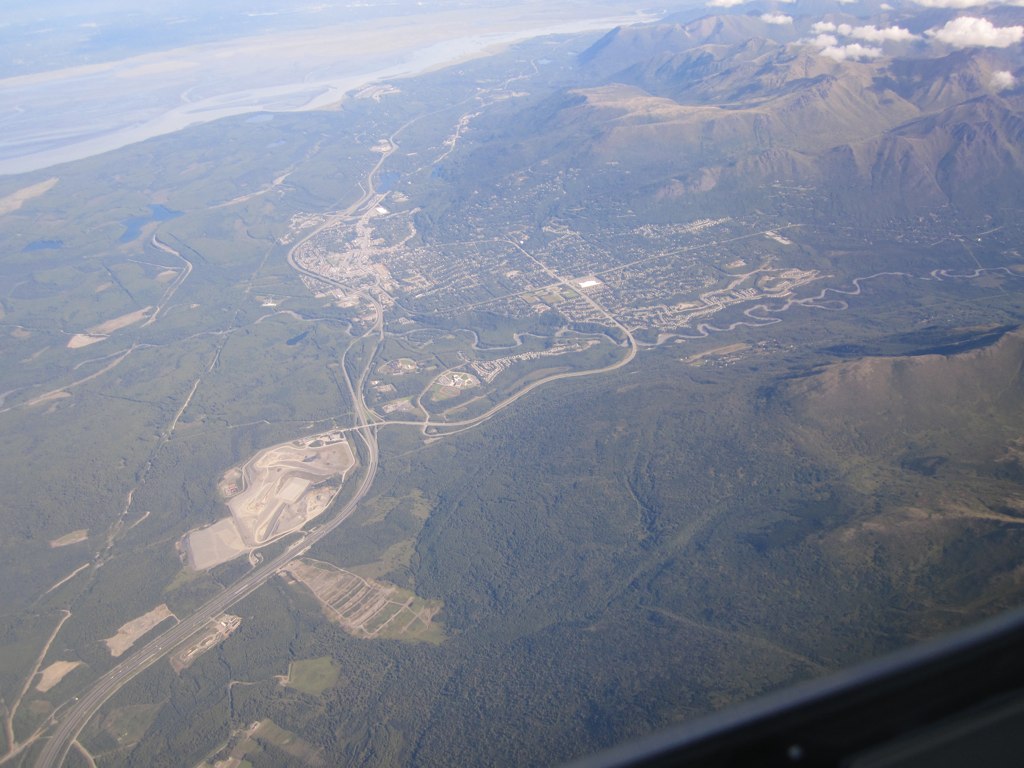
Eagle River is a community within the Municipality of Anchorage situated on the Eagle River, for which it is named, between Joint Base Elmendorf-Richardson and Chugach State Park in the Chugach Mountains. Its ZIP code is 99577. Settled by homesteaders, Eagle River has been annexed to the Municipality of Anchorage since the 1970s—a relationship that is, at times, complicated. On the one hand, Eagle River functions as an Anchorage suburb, with a number of Eagle River residents working in, shopping or participating in community life in the Anchorage bowl. Much of the community is also made up of residents from nearby Joint Base Elmendorf-Richardson. On the other hand, the community is itself a significant business hub between Wasilla and Anchorage, offering shopping, restaurants, recreation and employment. Secession efforts have from time to time gained traction by residents who would like Eagle River legally regarded as a separate community. Eagle River also has a close relationshi ... [...More Info...] [...Related Items...] OR: [Wikipedia] [Google] [Baidu] |
Palmer, Alaska
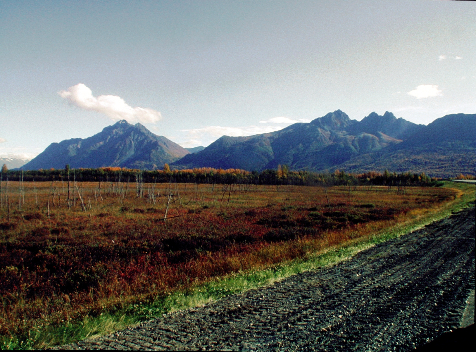
Palmer (Ahtna: ''Nił'etse'it'aade'' or ''Nuutah''; Dena'ina: ''Denal'i Kena'') is a city in and the borough seat of the Matanuska-Susitna Borough, Alaska, United States, located northeast of Anchorage on the Glenn Highway in the Matanuska Valley. It is the ninth-largest city in Alaska, and forms part of the Anchorage Metropolitan Statistical Area. As of the 2020 census, the population of the city is 5,888, down from 5,937 in 2010. Palmer hosts the annual Alaska State Fair, and is also the headquarters of the National Tsunami Warning Center. History The first people to live in the Matanuska Valley, where Palmer is located, were the Dena'ina and Ahtna Athabaskans. They moved throughout the area, living a subsistence lifestyle and trading with other native groups. Their trade routes were along the Matanuska River. Russians came to Alaska in 1741 and brought the Russian Orthodox religious tradition to the indigenous peoples of the region. In the early 1890s, an entrepreneu ... [...More Info...] [...Related Items...] OR: [Wikipedia] [Google] [Baidu] |
Wasilla, Alaska
Wasilla ( Dena'ina: ''Benteh'') is a city in Matanuska-Susitna Borough, United States and the fourth-largest city in Alaska. It is located on the northern point of Cook Inlet in the Matanuska-Susitna Valley of the southcentral part of the state. The city's population was 9,054 at the 2020 census, up from 7,831 in 2010. Wasilla is the largest city in the borough and a part of the Anchorage metropolitan area, which had an estimated population of 398,328 in 2020. Established at the intersection of the Alaska Railroad and Old Carle Wagon Road, the city prospered at the expense of the nearby mining town of Knik. Historically entrepreneurial, the economic base shifted in the 1970s from small-scale agriculture and recreation to support for workers employed in Anchorage or on Alaska's North Slope oilfields and related infrastructure. The George Parks Highway turned the town into a commuter suburb of Anchorage. Wasilla gained international attention when Sarah Palin, who served ... [...More Info...] [...Related Items...] OR: [Wikipedia] [Google] [Baidu] |


