|
2010–11 Isthmian League
The 2010–11 season was the 96th season of the Isthmian League, which is an English football competition featuring semi-professional and amateur clubs from London, East and South East England. Premier Division The Premier Division consisted of 22 clubs, including 17 clubs from the previous season, and five new clubs: * Bury Town, promoted and transferred as champions of Southern Football League Division One Midlands * Concord Rangers, promoted as play-off winners in Division One North * Croydon Athletic, promoted as champions of Division One South * Folkestone Invicta, promoted as play-off winners in Division One South * Lowestoft Town, promoted as champions of Division One North Sutton United won the division and were promoted back to the Conference South at the third attempt after two play-off defeats, along with play-off winners Tonbridge Angels. Maidstone United, Croydon Athletic, and Folkestone Invicta were relegated while Aveley were reprieved due to Rushden & Diamo ... [...More Info...] [...Related Items...] OR: [Wikipedia] [Google] [Baidu] |
Isthmian League
The Isthmian League () is a regional men's football league covering Greater London, East and South East England, featuring mostly semi-professional clubs. Founded in 1905 by amateur clubs in the London area, the league now consists of 82 teams in four divisions: the Premier Division above its three feeder divisions, the North, South Central and South East divisions. Together with the Southern League and the Northern Premier League, it forms the seventh and eighth levels of the English football league system. It has various regional feeder leagues and the league as a whole is a feeder league mainly to the National League South. History Before the Isthmian League was formed, there were no leagues in which amateur football clubs could compete, only knock-out cup competitions. Therefore, a meeting took place between representatives of Casuals, Civil Service, Clapton, Ealing Association, Ilford and London Caledonians to discuss the creation of a strong amateur league. ... [...More Info...] [...Related Items...] OR: [Wikipedia] [Google] [Baidu] |
Lowestoft Town F
Lowestoft ( ) is a coastal town and civil parish in the East Suffolk district of Suffolk, England.OS Explorer Map OL40: The Broads: (1:25 000) : . As the most easterly UK settlement, it is north-east of London, north-east of Ipswich and south-east of Norwich, and the main town in its district. The estimated population in the built-up area exceeds 70,000. Its development grew with the fishing industry and as a seaside resort with wide sandy beaches. As fishing declined, oil and gas exploitation in the North Sea in the 1960s took over. While these too have declined, Lowestoft is becoming a regional centre of the renewable energy industry. History Some of the earliest signs of settlement in Britain have been found here. Flint tools discovered in the Pakefield cliffs of south Lowestoft in 2005 allow human habitation of the area to be traced back 700,000 years.S. Parfitt et al. (2006'700,000 years old: found in Pakefield', ''British Archaeology'', January/February 2006. Retrie ... [...More Info...] [...Related Items...] OR: [Wikipedia] [Google] [Baidu] |
Aveley F
Aveley is a town and former civil parish in the unitary authority of Thurrock in Essex, England, and forms one of the traditional Church of England parishes. Aveley is 16 miles (26.2 km) east of Charing Cross. In the 2021 United Kingdom census it had a population of 9,801. In 1931 the parish had a population of 2,003. Position Aveley is located on the very edge of Greater London and is roughly bounded to the north and west by the London Borough of Havering, to the south by the A13 road and to the east by the M25 motorway. The nearest places are Purfleet, South Ockendon, Wennington and Rainham. Prehistory and history Aveley has given its name to the Aveley Interglacial period around 200,000 years ago. Important evidence of the local flora and fauna of the period and some signs of occupation by Neanderthal humans have been found there. In Domesday the name has various spellings – Alvithelea, Alvileia and Alvilea. The name means Aelfgyth's wood clearing. A variation, i ... [...More Info...] [...Related Items...] OR: [Wikipedia] [Google] [Baidu] |
Hastings United F
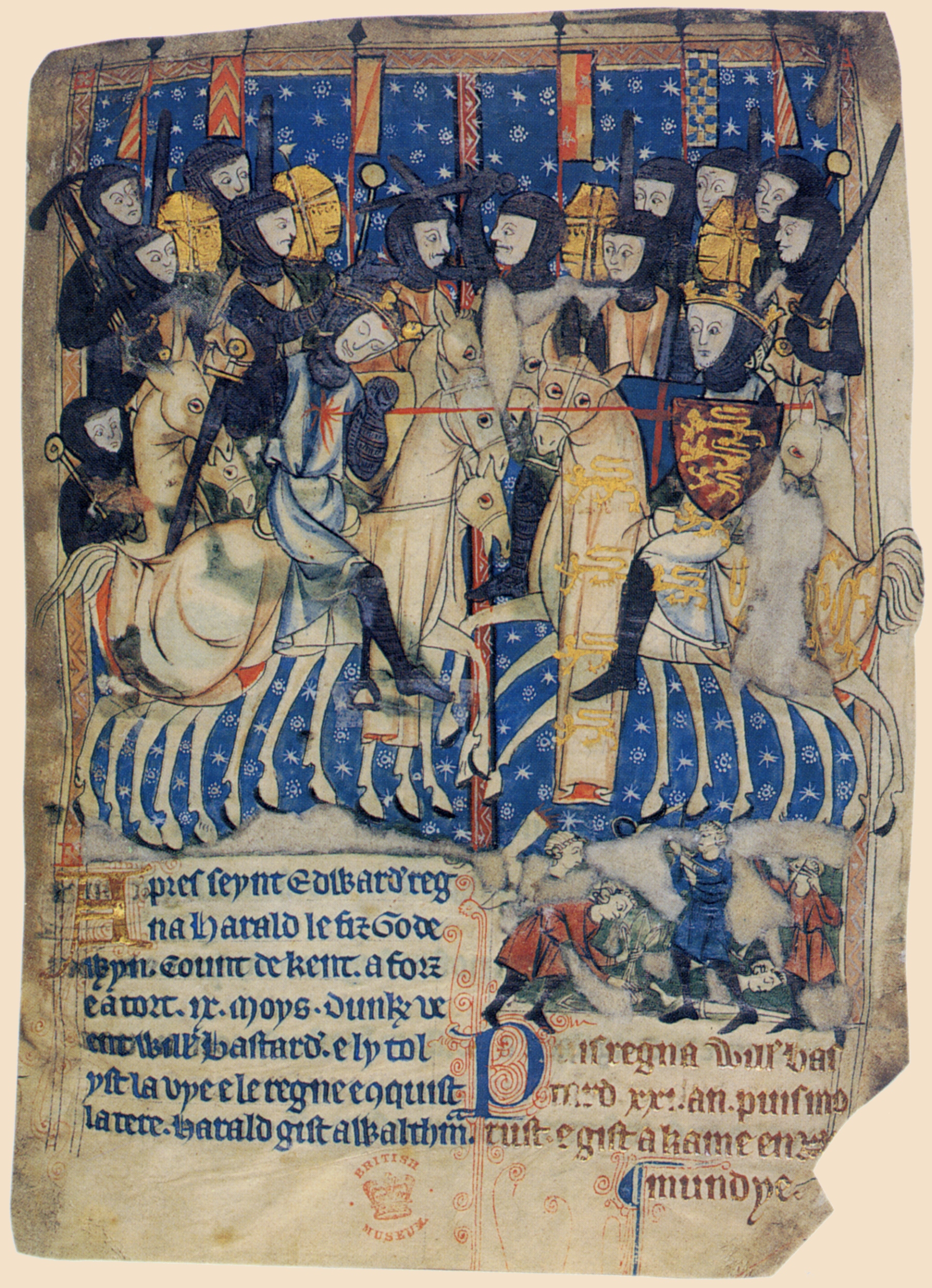
Hastings () is a large seaside town and Borough status in the United Kingdom, borough in East Sussex on the south coast of England, east to the county town of Lewes and south east of London. The town gives its name to the Battle of Hastings, which took place to the north-west at Senlac Hill in 1066. It later became one of the medieval Cinque Ports. In the 19th century, it was a popular seaside resort, as the railway allowed tourists and visitors to reach the town. Today, Hastings is a fishing port with the UK's largest beach-based fishing fleet. It has an estimated population of 92,855 as of 2018. History Early history The first mention of Hastings is found in the late 8th century in the form ''Hastingas''. This is derived from the Old English tribal name ''Hæstingas'', meaning 'the constituency (followers) of Hæsta'. Symeon of Durham records the victory of Offa in 771 over the ''Hestingorum gens'', that is, "the people of the Hastings tribe." Hastingleigh in Kent was nam ... [...More Info...] [...Related Items...] OR: [Wikipedia] [Google] [Baidu] |
Horsham F
Horsham is a market town on the upper reaches of the River Arun on the fringe of the Weald in West Sussex, England. The town is south south-west of London, north-west of Brighton and north-east of the county town of Chichester. Nearby towns include Crawley to the north-east and Haywards Heath and Burgess Hill to the south-east. It is the administrative centre of the Horsham district. History Governance Horsham is the largest town in the Horsham District Council area. The second, higher, tier of local government is West Sussex County Council, based in Chichester. It lies within the ancient Norman administrative division of the Rape of Bramber and the Hundred of Singlecross in Sussex. The town is the centre of the parliamentary constituency of Horsham, recreated in 1983. Jeremy Quin has served as Conservative Member of Parliament for Horsham since 2015, succeeding Francis Maude, who held the seat from 1997 but retired at the 2015 general election. Geography Weather ... [...More Info...] [...Related Items...] OR: [Wikipedia] [Google] [Baidu] |
Margate F
Margate is a seaside town on the north coast of Kent in south-east England. The town is estimated to be 1.5 miles long, north-east of Canterbury and includes Cliftonville, Garlinge, Palm Bay and Westbrook. The town has been a significant maritime port since the Middle Ages, and was associated with Dover as part of the Cinque Ports in the 15th century. It became a popular place for holidaymakers in the 18th century, owing to easy access via the Thames, and later with the arrival of the railways. Popular landmarks include the sandy beaches and the Dreamland amusement park. During the late 20th century, the town went into decline along with other British seaside resorts, but attempts are being made to revitalise the economy. History Margate was listed in the Domesday Book of 1086 as lying within the hundred of Thanet and the county of Kent. Margate was recorded as "Meregate" in 1264 and as "Margate" in 1299, but the spelling continued to vary into modern times. The na ... [...More Info...] [...Related Items...] OR: [Wikipedia] [Google] [Baidu] |
Hendon F
Hendon is an urban area in the Borough of Barnet, North-West London northwest of Charing Cross. Hendon was an ancient manor and parish in the county of Middlesex and a former borough, the Municipal Borough of Hendon; it has been part of Greater London since 1965. Hendon falls almost entirely within the NW4 postcode, while the West Hendon part falls in NW9. Colindale to the north-west was once considered part of Hendon but is today separated by the M1 motorway. The district is most famous for the London Aerodrome which later became the RAF Hendon; from 1972 the site of the RAF station was gradually handed over to the RAF Museum. The railways reached Hendon in 1868 with Hendon station on the Midland Main Line, followed by the London Underground further east under the name Hendon Central in 1923. Brent Street emerged as its commercial centre by the 1890s. A social polarity was developed between the uphill areas of Hendon and the lowlands around the railway station. Hendon ... [...More Info...] [...Related Items...] OR: [Wikipedia] [Google] [Baidu] |
Tooting & Mitcham United F
Tooting is a district in South London, forming part of the London Borough of Wandsworth and partly in the London Borough of Merton. It is located south south-west of Charing Cross. History Tooting has been settled since pre-Saxon times. The name is of Anglo-Saxon origin but the meaning is disputed. It could mean ''the people of Tota'', in which context Tota may have been a local Anglo-Saxon chieftain. Alternatively it could be derived from an old meaning of the verb ''to tout'', to look out. There may have been a watchtower here on the road to London and hence ''the people of the look-out post.'' The Romans built a road, which was later named Stane Street by the English, from London (Londinium) to Chichester (Noviomagus Regnorum), and which passed through Tooting. Tooting High Street is built on this road. In Saxon times, Tooting and Streatham (then Toting-cum-Stretham) was given to the Abbey of Chertsey. Later, Suene (Sweyn), believed to be a Viking, may have been given ... [...More Info...] [...Related Items...] OR: [Wikipedia] [Google] [Baidu] |
Wealdstone F
Wealdstone () is a district located in the centre of the London Borough of Harrow, England. It is located just north of Harrow town centre and is south of Harrow Weald, west of Belmont and Kenton, and east of Headstone. The area accommodates most of Harrow's industrial and business designated land. Wealdstone was the location of the Kodak Harrow factory; it closed in 2016. Wealdstone is centred on the High Street, and much traffic is bypassed from here by the George Gange Way flyover built in 1996. Its western boundary is formed by Harrow View, across which Headstone Manor lies, whereas on the east is Byron Park and the Belmont Trail. Harrow & Wealdstone station and the council offices are located at its southern end. Etymology The eponymous Weald Stone is a sarsen stone, positioned to mark the then boundary between the parishes of Harrow and Harrow Weald. It is located outside the Bombay Central restaurant, which was built as a public house (previously known as the W ... [...More Info...] [...Related Items...] OR: [Wikipedia] [Google] [Baidu] |
Billericay Town F
Billericay ( ) is a town and civil parish in the Borough of Basildon, Essex, England. It lies within the London Basin and constitutes a commuter town east of Central London. The town has three secondary schools and a variety of open spaces. It is thought to have been occupied since the Bronze Age. Toponym The origin of the name Billericay is unclear. It was first recorded as "Byllyrica" in 1291. The urban settlement, which was within the manor and parish of Great Burstead, was one of many founded in the late 13th century in an already densely populated rural landscape. Several suggestions for the origin of the place name include: * ''Villa Erica'' (Heather Villa), suggesting a Romano-British origin. * ''bellerīca'', a medieval Latin word meaning 'dyehouse or tanhouse'. * ''billers'', a traditional name for watercress, for which Bilbrook in Somerset and Staffordshire are named. Watercress was farmed in Billericay springs during the 20th century. Although the precise etymol ... [...More Info...] [...Related Items...] OR: [Wikipedia] [Google] [Baidu] |
Cray Wanderers F
Cray Inc., a subsidiary of Hewlett Packard Enterprise, is an American supercomputer manufacturer headquartered in Seattle, Washington. It also manufactures systems for data storage and analytics. Several Cray supercomputer systems are listed in the TOP500, which ranks the most powerful supercomputers in the world. Cray manufactures its products in part in Chippewa Falls, Wisconsin, where its founder, Seymour Cray, was born and raised. The company also has offices in Bloomington, Minnesota (which have been converted to Hewlett Packard Enterprise offices), and numerous other sales, service, engineering, and R&D locations around the world. The company's predecessor, Cray Research, Inc. (CRI), was founded in 1972 by computer designer Seymour Cray. Seymour Cray later formed Cray Computer Corporation (CCC) in 1989, which went bankrupt in 1995. Cray Research was acquired by Silicon Graphics (SGI) in 1996. Cray Inc. was formed in 2000 when Tera Computer Company purchased the Cray Res ... [...More Info...] [...Related Items...] OR: [Wikipedia] [Google] [Baidu] |
Canvey Island F
Canvey Island is a town, civil parish and reclaimed island in the Thames estuary, near Southend-on-Sea, in the Castle Point district, in the county of Essex, England. It has an area of and a population of 38,170.Office for National Statistics. (2013)Statistics: Canvey Island It is separated from the mainland of south Essex by a network of creeks. Lying only just above sea level, it is prone to flooding at exceptional tides and has been inhabited since the Roman conquest of Britain. The island was mainly agricultural land until the 20th century, when it became the fastest-growing seaside resort in Britain between 1911 and 1951. The North Sea flood of 1953 devastated the island, killing 58 islanders and leading to the temporary evacuation of the 13,000 residents. Canvey is consequently protected by modern sea defences comprising of concrete sea walls."Canvey Island Drainage scheme 2006". Environment agency. (May Avenue Pumping Station information board). Canvey Island is also no ... [...More Info...] [...Related Items...] OR: [Wikipedia] [Google] [Baidu] |


.jpg)

.jpg)


