|
2022 USC Trojans Baseball Team
The 2022 USC Trojans baseball team represented the University of Southern California during the 2022 NCAA Division I baseball season. The Trojans played their home games for the 48th season at Dedeaux Field Dedeaux Field is a college baseball stadium in Los Angeles, California, U.S., on the west end of the campus of the University of Southern California. The home field of the USC Trojans of the Pac-12 Conference, it has a seating capacity of 2,500. .... The team was coached by Jason Gill in his 3rd season at USC. The Trojans finished the season 25-28 with an 8-22 record in conference play, one of the worst seasons in Trojan baseball history. They finished last in the Pac-12 Conference. Previous season The Trojans ended the 2021 NCAA Division I baseball season, 2021 season with a record of 13–17 in Pac-12 Conference, conference play and with a 25-26 overall record good for T-8th best with Washington State Cougars baseball, Washington State Cougars in the Pac-12. Roster ... [...More Info...] [...Related Items...] OR: [Wikipedia] [Google] [Baidu] |
Jason Gill
Jason Gill is an American baseball coach and former shortstop and third baseman. He played college baseball for Cuesta College, Cal State Dominguez Hills and Cal State Fullerton from 1991 to 1994. He then served as the head coach of the Loyola Marymount Lions (2009–2019) the USC Trojans (2019–2022). Playing career Gill attended Mater Dei High School in Santa Ana, California. He then accepted a scholarship to play at Cuesta College, to play college baseball. He was named an honorable mention All-Western State Conference. After two seasons at Cuesta, Gill then went on to play at Cal State Dominguez Hills. While at Dominguez Hills, Gill was named an honorable mention All-California Collegiate Athletic Association. Gill then moved on to Cal State Fullerton to play his senior season. He batted .345 with .469 on base percentage and slugged .388. He was named a Second Team All-West Coast Conference performer. Coaching career Gill then served as a graduate assistant at Fullerton for ... [...More Info...] [...Related Items...] OR: [Wikipedia] [Google] [Baidu] |
Thousand Oaks, California
Thousand Oaks is the second-largest city in Ventura County, California, United States. It is in the northwestern part of Greater Los Angeles, approximately from the city of Los Angeles and from Downtown Los Angeles, Downtown. It is named after the many oak trees present in the area. The city forms the central populated core of the Conejo Valley. Thousand Oaks was incorporated in 1964, but has since expanded to the west and east. Two-thirds of master-planned community of Westlake and most of Newbury Park, California, Newbury Park were annexed by the city during the late 1960s and 1970s. The Los Angeles County, California, Los Angeles County–Ventura County line crosses at the city's eastern border with Westlake Village, California, Westlake Village. The population was 126,966 at the 2020 United States Census, 2020 census, up from 126,683 at the 2010 United States Census, 2010 census. Etymology One of the earliest names used for the area was Conejo Mountain Valley, as used b ... [...More Info...] [...Related Items...] OR: [Wikipedia] [Google] [Baidu] |
Yorba Linda, California
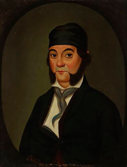
Yorba Linda is a suburban city in northeastern Orange County, California, United States, approximately southeast of Downtown Los Angeles. It is part of the Los Angeles metropolitan area, and had a population of 68,336 at the 2020 census. Yorba Linda is known for its connection to Richard Nixon, the 37th president of the United States. His birthplace is a National Historic Landmark, and his presidential library and museum are also located in the city. Etymology The name Yorba Linda is made up of two parts: Yorba, after Don Bernardo Yorba, a Californio ranchero who historically owned the area, and Linda, Spanish for beautiful. The name was created 1908 by the Janss Investment Company. History Pre-colonization The area is the home of the Tongva, Luiseño, and Juaneño tribal nations, who were there "as early as 4,000 years ago." The Tongva defined their world as Tovaangar, a nation which "extended from Palos Verdes to San Bernardino, from Saddleback Mountain to the San Fe ... [...More Info...] [...Related Items...] OR: [Wikipedia] [Google] [Baidu] |
Portola Valley, California
Portola Valley is a town in San Mateo County, California. Located on the San Francisco Peninsula in the Bay Area, Portola Valley is a small, wealthy community nestled on the eastern slopes of the Santa Cruz Mountains. History Portola Valley was named for Spanish explorer Gaspar de Portolá, who led the first party of Europeans to explore the San Francisco Peninsula in 1769. The Native Americans already present were Ohlone and specifically the group (or groups) known as Olpen or Guemelento but these were later moved to Mission Dolores and Mission Santa Clara de Asís which claimed the land and peoples. The area's written history dates back to 1833, when a square league of land was given to Domingo Peralta and Máximo Martínez by Governor José Figueroa to form the Rancho Cañada del Corte de Madera. In those days it was used for lumbering and cattle grazing. By the 1880s Andrew S. Hallidie, a wire rope manufacturer, had built his country home of Eagle Home Farm in wha ... [...More Info...] [...Related Items...] OR: [Wikipedia] [Google] [Baidu] |
Aptos, California
Aptos (Ohlone for "The People") is an unincorporated town in Santa Cruz County, California. The town is made up of several small villages, which together form Aptos: Aptos Hills-Larkin Valley, Aptos Village, Cabrillo, Seacliff, Rio del Mar, and Seascape. Together, they have a combined population of 24,402. History Aptos was traditionally inhabited by the Awaswas tribe of Ohlone people. The name is one of only three native words that have survived (in Hispanicized form) as place names in Santa Cruz County (the others are Soquel and Zayante). The first European land exploration of Alta California, the Spanish Portolá expedition, passed through the area on its way north, camping at one of the creeks on October 16, 1769. The expedition diaries don't provide enough information to be sure which creek it was, but the direction of travel was northwest, parallel to the coast. Franciscan missionary Juan Crespi, traveling with the expedition, noted in his diary that, "We stopped on th ... [...More Info...] [...Related Items...] OR: [Wikipedia] [Google] [Baidu] |
Laguna Niguel, California
Laguna Niguel () is a city in Orange County, California, United States. The name Laguna Niguel is derived from the words "Laguna" (Spanish for "lagoon") and "Niguili" (the name of a Native American village once located near Aliso Creek). As of the 2020 census, the population was 64,355. Laguna Niguel is located in the San Joaquin Hills in the southeastern corner of Orange County, close to the Pacific Ocean, and borders the cities of Aliso Viejo, Dana Point, Laguna Beach, Laguna Hills, Mission Viejo, and San Juan Capistrano. Laguna Niguel has its origins in the Rancho Niguel Mexican land grant, which was acquired in 1959 by the Laguna Niguel Corporation to develop one of California's first master-planned communities. As a predominantly residential city, Laguna Niguel serves as a bedroom community for the job centers of northern and central Orange County. Laguna Niguel has a median household income 31 percent above the Orange County average and nearly double the U.S. avera ... [...More Info...] [...Related Items...] OR: [Wikipedia] [Google] [Baidu] |
Sacramento, California
) , image_map = Sacramento County California Incorporated and Unincorporated areas Sacramento Highlighted.svg , mapsize = 250x200px , map_caption = Location within Sacramento County in California , pushpin_map = California#USA , pushpin_label = Sacramento , pushpin_map_caption = Location within California##Location in the United States , pushpin_relief = yes , coordinates = , coordinates_footnotes = , subdivision_type = Country , subdivision_name = United States , subdivision_type1 = U.S. state, State , subdivision_name1 = California , subdivision_type2 = List of counties in California, County , subdivision_name2 = Sacramento County, California, Sacramento ---- , subdivision_type3 = List of regions of California, Region ... [...More Info...] [...Related Items...] OR: [Wikipedia] [Google] [Baidu] |
Corona, California
Corona (Spanish for "Crown") is a city in Riverside County, California, United States. At the 2020 census, the city had a population of 157,136, up from 152,374 at the 2010 census. The cities of Norco and Riverside lie to the north and northeast, Chino Hills and Yorba Linda to the northwest, Anaheim to the west, Cleveland National Forest and the Santa Ana Mountains to the southwest, and unincorporated Riverside County along the rest of the city's borders. Downtown Corona is approximately southeast of Downtown Los Angeles and north-northwest of San Diego. Corona, located along the western edge of Southern California's Inland Empire region, is known as the "Circle City" due to Grand Boulevard's circular layout. It is one of the most residential cities in the Inland Empire, but also has a large industrial portion on the northern half, being the headquarters of companies such as Fender Musical Instruments Corporation, Monster Beverage Corporation, and supercar manufacturer ... [...More Info...] [...Related Items...] OR: [Wikipedia] [Google] [Baidu] |
Humacao, Puerto Rico
Humacao () is a city and municipality in Puerto Rico located in the eastern coast of the island, north of Yabucoa; south of Naguabo; east of Las Piedras; and west of Vieques Passage. Humacao is spread over 12 barrios and Humacao Pueblo (the downtown area and the administrative center of the city). It is part of the San Juan-Caguas-Guaynabo Metropolitan Statistical Area. History The region of what is now Humacao belonged to the Taíno region of Humaka, which covered a portion of the southeast coast of Puerto Rico. The region was led by cacique Jumacao (also referred to as "Macao"). The Taíno settlement was located on the shores of what is called now the Humacao River. It is believed that the Taíno chief Jumacao was the first "cacique" to learn to read and write in Spanish, since he wrote a letter to the King of Spain Charles I complaining about how the Governor of the island wasn't complying with their peace agreement. In the letter, Jumacao argued that their people were ... [...More Info...] [...Related Items...] OR: [Wikipedia] [Google] [Baidu] |
Laguna Beach, California
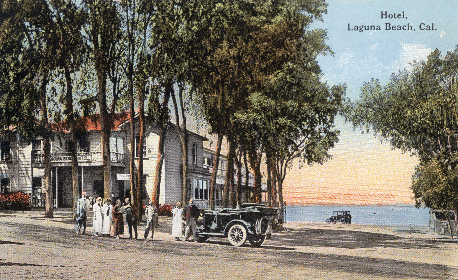
Laguna Beach (; ''Laguna'', Spanish language, Spanish for "Lagoon") is a seaside resort city located in southern Orange County, California, in the United States. It is known for its mild year-round climate, scenic coves, environmental preservation efforts, and artist community. The population in the 2020 United States census, 2020 census was 23,032. Historically settled by Paleoindians, the Tongva people, and then Mexico, the location became part of the United States following the Mexican–American War. Laguna Beach was settled in the 1870s, officially founded in 1887, and in 1927 its current government was incorporated as a city. The city adopted the Council–manager government, council–manager form of government in 1944. The city has remained relatively isolated from urban encroachment by its surrounding hills, limited highway access, and dedicated Green belt, greenbelt. The Laguna Beach coastline is protected by of state marine protected area, marine reserve and an addit ... [...More Info...] [...Related Items...] OR: [Wikipedia] [Google] [Baidu] |
Bellaire, Texas
Bellaire is a city in southwest Harris County, Texas, United States, within the metropolitan area.. Retrieved on January 24, 2010. As of the 2020 U.S. census, the city population was 17,202. It is surrounded by the cities of Houston and West University Place, Texas, West University Place. Bellaire is known as the "City of Homes", owing to its mostly residential character; but it has offices along the Interstate 610 (Texas), I-610 Loop within the city limits. History Bellaire was founded in 1908 by William Wright Baldwin, who was the president of the South End Land Company. Baldwin, a native of Iowa, was well known as the vice president of the Burlington Railroad. Bellaire was founded on what was part of William Marsh Rice's ranch. Baldwin surveyed the eastern of the ranch into small truck farms. He named them "Westmoreland Farms". Baldwin started Bellaire in the middle of "Westmoreland Farms" to serve as a residential neighborhood and an agricultural trading center. South E ... [...More Info...] [...Related Items...] OR: [Wikipedia] [Google] [Baidu] |
Hudson, New York
Hudson is a city and the county seat of Columbia County, New York, United States. As of the 2020 census, it had a population of 5,894. Located on the east side of the Hudson River and 120 miles from the Atlantic Ocean, it was named for the river and its explorer Henry Hudson. History The native Mahican people had occupied this territory for hundreds of years before Dutch colonists began to settle here in the 17th century, calling it "Claverack Landing". In 1662, some of the Dutch bought this area of land from the Mahican. It was originally part of the Town of Claverack. In 1783, the area was settled largely by Quaker New England whalers and merchants hailing primarily from the islands of Nantucket and Martha's Vineyard in Massachusetts, and Providence, Rhode Island, led by Thomas and Seth Jenkins. They capitalized on Hudson being at the head of navigation on the Hudson River and developed it as a busy port. Hudson was chartered as a city in 1785. The self-described "Prop ... [...More Info...] [...Related Items...] OR: [Wikipedia] [Google] [Baidu] |


.jpg)


.jpg)


