|
2009 Taconic State Parkway Crash
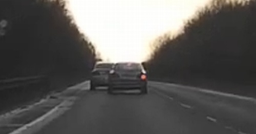
The 2009 Taconic State Parkway crash was a traffic collision that occurred shortly after on Sunday, July 26, 2009, on the Taconic State Parkway in the town of Mount Pleasant, New York, Mount Pleasant, near the village of Briarcliff Manor, New York, United States. Eight people were killed when a minivan, being driven by 36-year-old Diane Schuler, traveled in the wrong direction on the parkway and collided head-on with an oncoming SUV. Schuler, her daughter and three nieces, and the three passengers in the oncoming SUV were killed. The crash was the worst fatal motor vehicle crash to occur in Westchester County, New York, Westchester County since July 22, 1934, when a bus crash in Ossining (town), New York, Ossining claimed twenty lives. The ensuing investigation into the crash's cause received nationwide media attention. Toxicology tests conducted by the medical examiner revealed that Schuler was heavily intoxicated with both alcohol (drug), alcohol and marijuana at the time of th ... [...More Info...] [...Related Items...] OR: [Wikipedia] [Google] [Baidu] |
Taconic State Parkway
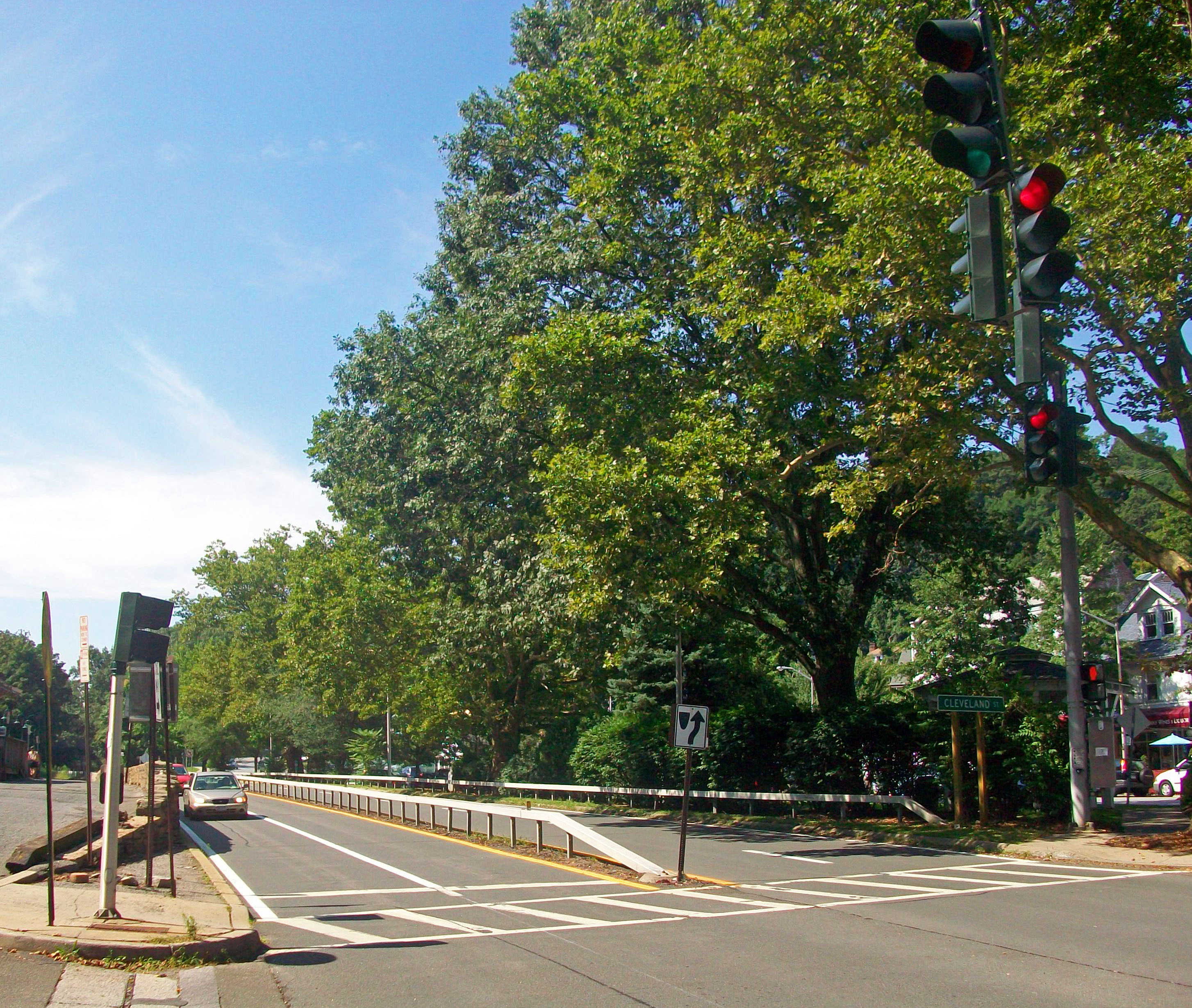
The Taconic State Parkway (often called the Taconic or the TSP and known administratively as New York State Route 987G or NY 987G) is a Parkways in New York State, parkway between Kensico Dam and Chatham (town), New York, Chatham, the longest in the U.S. state of New York (state), New York. It follows a generally north–south route midway between the Hudson River and the Connecticut and Massachusetts state lines, much of its upper section along the westernmost flank of the Taconic Mountains. Its southernmost are a surface road; from the junction with the Sprain Brook Parkway northward it is a limited-access highway, limited-access divided highway. It has grade-separated interchange (road), interchanges from that point to its northern terminus; in the three northern counties, there are also at-grade intersections, many with closed medians, allowing only right-in/right-out turns. It is open only to passenger vehicles, as with other parkways in New York, and maintained by ... [...More Info...] [...Related Items...] OR: [Wikipedia] [Google] [Baidu] |
Long Island
Long Island is a densely populated island in the southeastern region of the U.S. state of New York (state), New York, part of the New York metropolitan area. With over 8 million people, Long Island is the most populous island in the United States and the List of islands by population, 18th-most populous in the world. The island begins at New York Harbor approximately east of Manhattan Island and extends eastward about into the Atlantic Ocean and 23 miles wide at its most distant points. The island comprises four List of counties in New York, counties: Kings and Queens counties (the New York City Borough (New York City), boroughs of Brooklyn and Queens, respectively) and Nassau County, New York, Nassau County share the western third of the island, while Suffolk County, New York, Suffolk County occupies the eastern two thirds of the island. More than half of New York City's residents (58.4%) lived on Long Island as of 2020, in Brooklyn and in Queens. Culturally, many people in t ... [...More Info...] [...Related Items...] OR: [Wikipedia] [Google] [Baidu] |
Chevrolet TrailBlazer EXT -- 12-21-2011 2
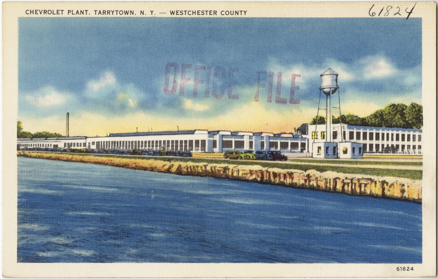
Chevrolet ( ), colloquially referred to as Chevy and formally the Chevrolet Motor Division of General Motors Company, is an American automobile division of the American manufacturer General Motors (GM). Louis Chevrolet (1878–1941) and ousted General Motors founder William C. Durant (1861–1947) started the company on November 3, 1911 as the Chevrolet Motor Car Company. Durant used the Chevrolet Motor Car Company to acquire a controlling stake in General Motors with a reverse merger occurring on May 2, 1918, and propelled himself back to the GM presidency. After Durant's second ousting in 1919, Alfred Sloan, with his maxim "a car for every purse and purpose", would pick the Chevrolet brand to become the volume leader in the General Motors family, selling mainstream vehicles to compete with Henry Ford's Model T in 1919 and overtaking Ford as the best-selling car in the United States by 1929 with the Chevrolet International. Chevrolet-branded vehicles are sold in most automo ... [...More Info...] [...Related Items...] OR: [Wikipedia] [Google] [Baidu] |
Vomiting
Vomiting (also known as emesis and throwing up) is the involuntary, forceful expulsion of the contents of one's stomach through the mouth and sometimes the Human nose, nose. Vomiting can be the result of ailments like Food-poisoning, food poisoning, gastroenteritis, pregnancy, motion sickness, or hangover; or it can be an after effect of diseases such as brain tumors, elevated intracranial pressure, or overexposure to ionizing radiation. The feeling that one is about to vomit is called nausea; it often precedes, but does not always lead to vomiting. Impairment due to Alcoholic drink, alcohol or anesthesia can cause inhalation of vomit, leading to suffocation. In severe cases, where dehydration develops, intravenous fluid may be required. Antiemetics are sometimes necessary to suppress nausea and vomiting. Self-induced vomiting can be a component of an eating disorder such as bulimia nervosa, bulimia, and is itself now classified as an eating disorder on its own, purging di ... [...More Info...] [...Related Items...] OR: [Wikipedia] [Google] [Baidu] |
Tailgating
Tailgating is the action of a driver driving behind another vehicle while not leaving sufficient distance to stop without causing a collision if the vehicle in front stops suddenly. The safe distance for following another vehicle varies depending on various factors including vehicle speed, weather, visibility and other road conditions. Some jurisdictions may require a minimal gap of a specified distance or time interval. When following heavy vehicles or in less than ideal conditions (e.g. low light or rain), a longer distance is recommended. Causes There can be several reasons for tailgating. Preventing cut ins Tailgating can occur when a vehicle attempts to prevent another vehicle on the right or left from cutting in front of them. The tailgating (or preventing) vehicle will drive as close as possible to another leading vehicle to prevent the side vehicle from cutting in. Like all forms, this practice of tailgating is illegal and attempts to force the side vehicle to slow dow ... [...More Info...] [...Related Items...] OR: [Wikipedia] [Google] [Baidu] |
Tappan Zee Bridge (1955–2017)
The Governor Malcolm Wilson Tappan Zee Bridge, commonly known as the Tappan Zee Bridge, was a cantilever bridge in the U.S. state of New York. It was built from 1952 to 1955 to cross the Hudson River at one of its widest points, north of Midtown Manhattan, from South Nyack to Tarrytown. As an integral conduit within the New York Metropolitan Area, the bridge connected South Nyack in Rockland County with Tarrytown in Westchester County in the Lower Hudson Valley. Opened on December 14, 1955, the Tappan Zee Bridge was one of the primary crossings of the Hudson River north of New York City; it carried much of the traffic between southern New England and points west of the Hudson. The bridge was the longest bridge in New York State, a title retained by its replacement. The total length of the bridge approached . The cantilever span was , which provided a maximum clearance of over the water. The bridge was officially named after former governor Malcolm Wilson in 1994, though t ... [...More Info...] [...Related Items...] OR: [Wikipedia] [Google] [Baidu] |
Sloatsburg, New York
Sloatsburg is a village in the town of Ramapo in Rockland County, New York, United States. Located east of Orange County, it is at the southern entrance to Harriman State Park. The population was 3,039 at the 2010 census. The village is named after Stephen Sloat, an early European landowner. History The land that would become the village of Sloatsburg was part of the hunting grounds of the Minsi band of the Leni Lenape Indians, whose people occupied much of the mid-Atlantic area at the time of European encounter. The area was the site of a major Indian path through the Ramapo Mountains. The path was later improved as the New York to Albany road and, in 1800, the Orange Turnpike. It remains an important thoroughfare today as the New York State Thruway, New York State Route 17 and the Norfolk Southern Railway line run along its route. Wynant Van Gelder, an ethnic Dutch colonist, purchased the area from the Minsi in 1738. In 1747, he gave it to his father-in-law, Isaac Van Deusen. ... [...More Info...] [...Related Items...] OR: [Wikipedia] [Google] [Baidu] |
Ramapo, New York
Ramapo is a town in Rockland County, New York, United States. It was originally formed as New Hampstead, in 1791, and became Ramapo in 1828."Ramapo", in Peter R. Eisenstadt and Laura-Eve Moss (Eds.), The Encyclopedia of New York State'. Syracuse, NY: Syracuse University Press. . p. 1284. It shares its name with the Ramapo River. As of the 2020 census, Ramapo had a total population of 148,919, making it the most populous town in New York outside of Long Island. If Ramapo were incorporated as a city, it would be the sixth-largest city in the state of New York. The town's name, recorded variously as ''Ramopuck'', ''Ramapock'', or ''Ramapough'', is of Lenape origin, meaning either "sweet water" or "slanting rocks". Early maps referred to Ramapo as Ramepog (1695), Ramepogh (1711), and Ramapog (1775). The town is located south of Haverstraw and west of Clarkstown and Orangetown. History The present-day town was originally inhabited by the Munsee, a band of the Lenape n ... [...More Info...] [...Related Items...] OR: [Wikipedia] [Google] [Baidu] |
Interstate 87 (New York)
Interstate 87 (I-87) is a north–south Interstate Highway located entirely within the US state of New York. It is most of the main highway between New York City and Montreal. The highway begins at exit 47 off I-278 in the New York City borough of the Bronx, just north of the Robert F. Kennedy Bridge and Grand Central Parkway. From there, the route runs northward through the Hudson Valley, the Capital District, and the easternmost part of the North Country to the Canadian border in the town of Champlain. At its north end, I-87 continues into Quebec as Autoroute 15 (A-15). I-87 connects with several regionally important roads: I-95 in New York City, New York State Route 17 (NY 17; future I-86) near Harriman, I-84 near Newburgh, and I-90 in Albany. The highway is not contiguous with I-87 in North Carolina. I-87 was assigned in 1957 as part of the establishment of the Interstate Highway System. The portion of I-87 south of Albany follows two contr ... [...More Info...] [...Related Items...] OR: [Wikipedia] [Google] [Baidu] |
Interstate 86 (east)
Interstate 86 may refer to any of three unconnected Interstate Highways in the United States: * Interstate 86 (Pennsylvania–New York) * Interstate 86 (Idaho) * Interstate 84 (Pennsylvania–Massachusetts) Interstate 84 (I-84) is an Interstate Highway in the Northeastern United States that extends from Dunmore, Pennsylvania, (near Scranton) at an interchange with I-81 east to Sturbridge, Massachusetts, at an interchange with the Massachuset ..., section east of East Hartford, Connecticut was formerly designated as Interstate 86 {{Road disambiguation 86 ... [...More Info...] [...Related Items...] OR: [Wikipedia] [Google] [Baidu] |
New York State Route 17
New York State Route 17 (NY 17) is a major state highway that extends for through the Southern Tier and Downstate regions of New York in the United States. It begins at the Pennsylvania state line in Mina and follows the Southern Tier Expressway east through Corning to Binghamton and the Quickway from Binghamton east to Woodbury, where it turns south to follow the Orange Turnpike to the New Jersey state line near Suffern, where it connects to New Jersey Route 17. From the Pennsylvania border to the village of Waverly and from Binghamton to Windsor, NY 17 is concurrent with Interstate 86 (I-86). Eventually, the entire east–west portion of NY 17 from the Pennsylvania border to Woodbury will become I-86 as projects to upgrade the route to Interstate Highway standards are completed. At , NY 17 is the longest state route in New York, and is the second-longest highway of any kind in the state, beside the Thruway. It serves 11 counties ( ... [...More Info...] [...Related Items...] OR: [Wikipedia] [Google] [Baidu] |
Over-the-counter Drug
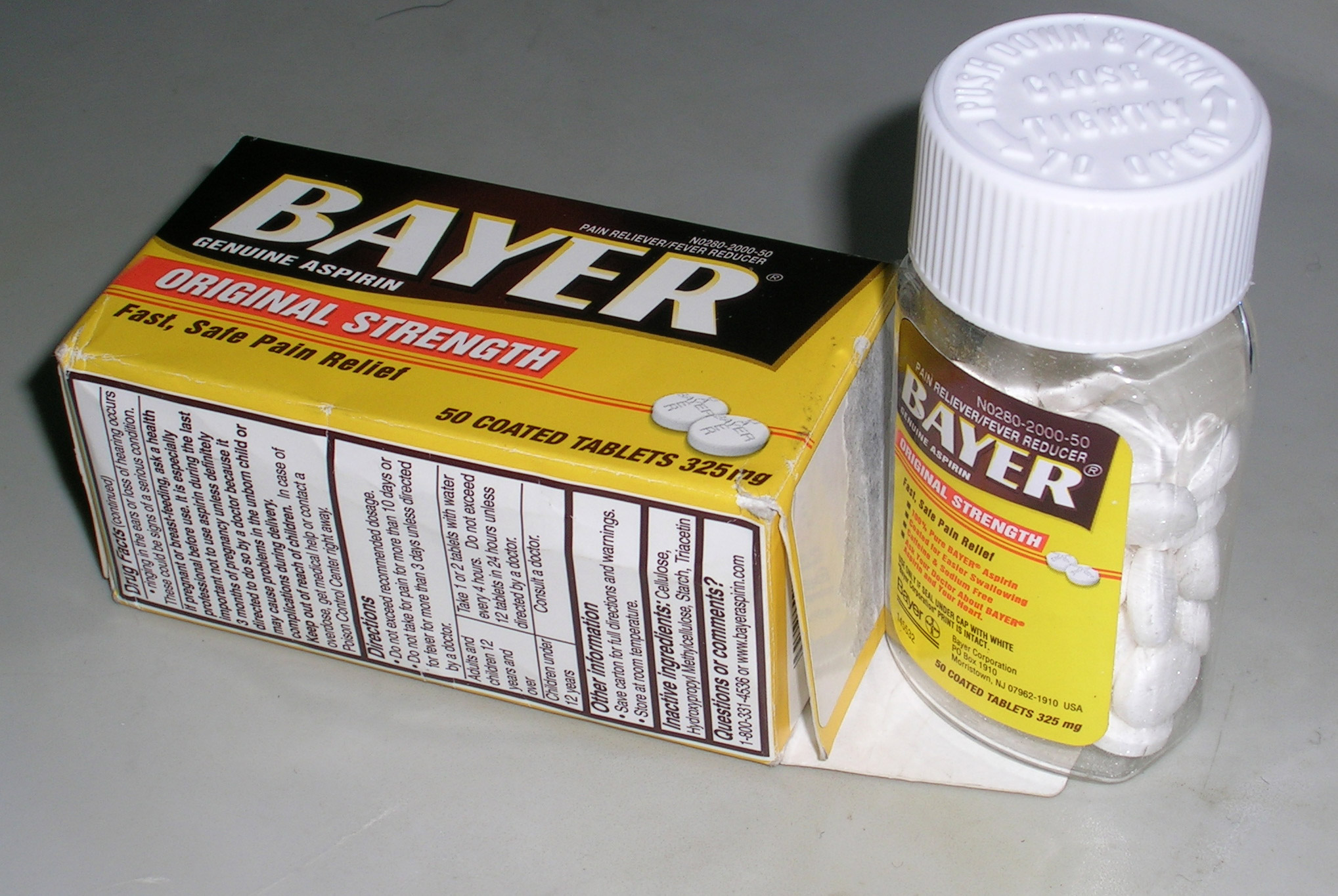
Over-the-counter (OTC) drugs are medicines sold directly to a consumer without a requirement for a prescription from a healthcare professional, as opposed to prescription drugs A prescription drug (also prescription medication or prescription medicine) is a pharmaceutical drug that legally requires a medical prescription to be dispensed. In contrast, over-the-counter drugs can be obtained without a prescription. The rea ..., which may be supplied only to consumers possessing a valid prescription. In many countries, OTC drugs are selected by a regulatory agency to ensure that they contain ingredients that are safe and effective when used without a physician's care. OTC drugs are usually regulated according to their active pharmaceutical ingredient (API) rather than final products. By regulating APIs instead of specific drug formulations, governments allow manufacturers the freedom to formulate ingredients, or combinations of ingredients, into proprietary mixtures. The term ... [...More Info...] [...Related Items...] OR: [Wikipedia] [Google] [Baidu] |

