|
1956 United States Presidential Election In Montana
The 1956 United States presidential election in Montana took place on November 6, 1956 as part of the 1956 United States presidential election. Voters chose four representatives, or electors to the Electoral College, who voted for president and vice president. Montana strongly voted for the Republican nominee, President Dwight D. Eisenhower, over the Democratic nominee, former Illinois Governor Adlai Stevenson. Eisenhower won Montana by 14.26%; however, owing to a five-year drought in the High Plains that resulted in a considerable protest vote for Stevenson, he did not do as well as had four years earlier. However, his strong Catholic appeal meant that Eisenhower gained substantially in the heavily Irish mining counties of the west.Phillips; ''The Emerging Republican Majority'', p. 394 His 48.61% in Deer Lodge County is the best by a Republican there since Warren G. Harding in 1920, and , this is the only election since 1920 in which Silver Bow County voted for a Repub ... [...More Info...] [...Related Items...] OR: [Wikipedia] [Google] [Baidu] |
United States Presidential Election
The election of the president and the vice president of the United States is an indirect election in which citizens of the United States who are registered to vote in one of the fifty U.S. states or in Washington, D.C., cast ballots not directly for those offices, but instead for members of the Electoral College. These electors then cast direct votes, known as electoral votes, for president, and for vice president. The candidate who receives an absolute majority of electoral votes (at least 270 out of 538, since the Twenty-Third Amendment granted voting rights to citizens of D.C.) is then elected to that office. If no candidate receives an absolute majority of the votes for president, the House of Representatives elects the president; likewise if no one receives an absolute majority of the votes for vice president, then the Senate elects the vice president. In contrast to the presidential elections of many republics around the world (operating under either the presidential ... [...More Info...] [...Related Items...] OR: [Wikipedia] [Google] [Baidu] |
Droughts In The United States
Drought in the United States is similar to that of other portions of the globe. Below normal precipitation leads to drought, and is caused by an above average persistence of high pressure over the affected area. Changes in the track of extratropical cyclones, which can occur during climate cycles such as the El Niño-Southern Oscillation, or ENSO, as well as the North Atlantic Oscillation, Pacific Decadal Oscillation, and Atlantic multidecadal oscillation, modulate which areas are more prone to drought. Increased drought frequency and severity is also expected to be one of the effects of global warming. The country's contiguous western and especially southwestern region has experienced widespread drought since about year 2000. Drought having an acute economic impact in the history of the United States occurred during the 1930s and 1940s, periods of time known as 'Dust Bowl' years where relief and health agencies became overburdened and many local community banks had to clo ... [...More Info...] [...Related Items...] OR: [Wikipedia] [Google] [Baidu] |
Carter County, Montana
Carter County is a County (United States), county located in the U.S. state of Montana. As of the 2020 United States census, 2020 census, the population was 1,415, making it the seventh-least populous county in Montana. The county seat is Ekalaka, Montana, Ekalaka. History Carter County was named for Thomas H. Carter, Thomas Henry Carter, the state's first congressman (representative in Congress from the Montana Territory, followed by first representative from the state of Montana to the US House of Representatives). Prior to settlement the land of Carter County was occupied by the Sioux Indians, Sioux tribe. Geography According to the United States Census Bureau, the county has a total area of , of which is land and (0.2%) is water. Medicine Rocks State Park is located 14 miles north of Ekalaka. Weathering has given the rocks an unusual texture. The site was used by Indian hunting parties. Adjacent counties * Powder River County, Montana, Powder River County - west * Cust ... [...More Info...] [...Related Items...] OR: [Wikipedia] [Google] [Baidu] |
Carbon County, Montana
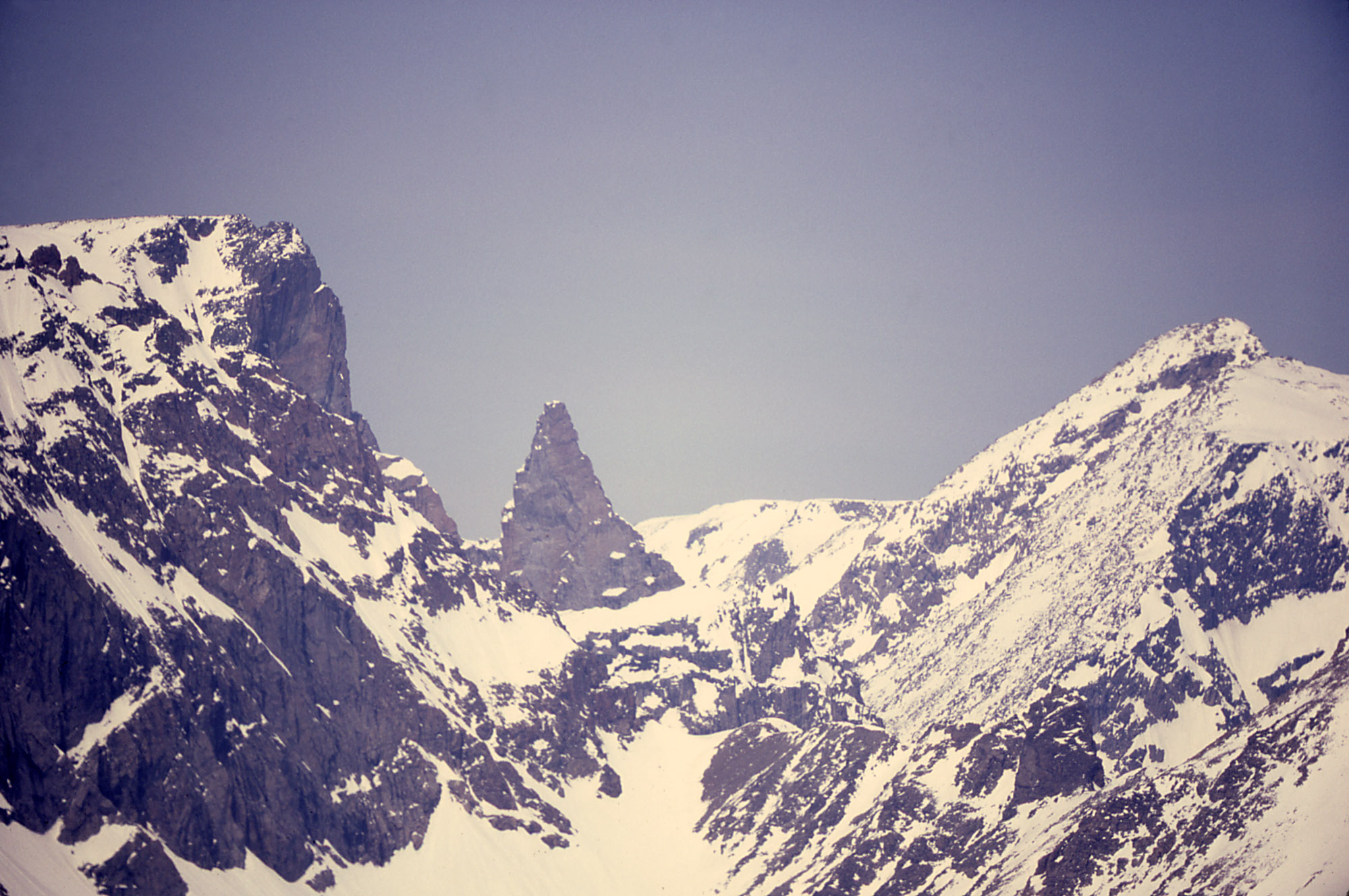
Carbon County is a county located in the U.S. state of Montana. As of the 2020 census, the population was 10,473. Its county seat is Red Lodge. Carbon County is part of the Billings, MT Metropolitan Statistical Area. History Carbon County was named for the rich coal deposits found in the area. It was organized on March 4, 1895, from portions of Park and Yellowstone counties. Land from Park and Yellowstone counties was used to form Carbon County on March 4, 1895. More than sixty federally designated historic sites are located in the county, including Petroglyph Canyon, one of the state's most important rock art sites. The first commercial oil well in the state was established in Elk Basin fields in 1915. Geography According to the United States Census Bureau, the county has a total area of , of which is land and (0.6%) is water. Granite Peak, the state's highest mountain, is found in Carbon County's Beartooth Mountains. The Beartooth Highway, one of the "most specta ... [...More Info...] [...Related Items...] OR: [Wikipedia] [Google] [Baidu] |
Broadwater County, Montana
Broadwater County is a county in the U.S. state of Montana. As of the 2020 census, the population was 6,774. Its county seat is Townsend. The county was named for Charles Arthur Broadwater, a noted Montana railroad, real estate, and banking magnate. History The Lewis and Clark Expedition traveled through what is now Broadwater County as they traced the Missouri River. Gold was discovered in the Big Belt Mountains in 1864 which brought several mining towns. In 1881 the Northern Pacific Railway included a stop in what is now Townsend. Geography According to the United States Census Bureau, the county has a total area of , of which is land and (3.7%) is water. The boundaries of the county are roughly formed by the Big Belt Mountains to the east and north, the Elkhorn Mountains to the west, and the Horseshoe Hills to the south. Broadwater County is perhaps best known as the home of Canyon Ferry Lake, the third largest body of water in Montana. The lake provides essential i ... [...More Info...] [...Related Items...] OR: [Wikipedia] [Google] [Baidu] |
Blaine County, Montana
Blaine County is a county in the U.S. state of Montana. As of the 2020 census, the population was 7,044. Its county seat is Chinook. The county was named for James G. Blaine, former United States Secretary of State. It is on the north line of the state, and thus shares the southern border of Canada opposite Saskatchewan. History In 1912 Blaine, Phillips and Hill counties were formed from the area of Chouteau County. The original boundary of Blaine County included a portion of land in the west that is now included in Phillips County. Geography According to the United States Census Bureau, the county has a total area of , of which is land and (0.3%) is water. The majority of Fort Belknap Indian Reservation is located in the southeastern part of the county. Features of the area include the Milk River, Bears Paw Mountains, and the Little Rocky Mountains. Adjacent counties and rural municipalities * Hill County - west * Chouteau County - southwest * Fergus County - s ... [...More Info...] [...Related Items...] OR: [Wikipedia] [Google] [Baidu] |
Big Horn County, Montana
Big Horn County is a county located in the U.S. state of Montana. As of the 2020 census, the population was 13,124. The county seat is Hardin. The county, like the river and the mountain range, is named after the bighorn sheep in the Rocky Mountains. The county was founded in 1913. It is located on the south line of the state. Most of the area is part of the Crow Indian Reservation. Reservation poverty affects the county, which is the second-poorest county in the state. History Law and government The county has several jurisdictions, each with its own regulations and law enforcement agencies. The Crow and Northern Cheyenne Indian Nations are administered by the tribes. Little Bighorn Battlefield and the Big Horn Canyon National Recreation Area are regulated by the National Park Service. The remainder of the county falls under the State of Montana. Geography According to the United States Census Bureau, the county has a total area of , of which is land and (0.4%) is wat ... [...More Info...] [...Related Items...] OR: [Wikipedia] [Google] [Baidu] |
Beaverhead County, Montana
Beaverhead County is the largest county by area in the U.S. state of Montana. As of the 2020 census, the population was 9,371. Its county seat is Dillon. The county was founded in 1865. Much of the perimeter of the county is the Continental Divide, including its entire border with the state of Idaho. The divide heads east into Montana at the county border with Ravalli County, between Lost Trail Pass and Chief Joseph Pass. History The county name is derived from a rock formation, which the Shoshone described as being shaped like a beaver's head. The original county seat was the gold-mining town of Bannack. In 1881 it was moved to Dillon. Geography According to the United States Census Bureau, the county has a total area of , of which is land and (0.3%) is water. It is the largest county in Montana by area. Beaverhead impact structure is in the area. The Big Hole River (formerly called Wisdom River) runs through the county. Adjacent counties * Ravalli County - northwest * ... [...More Info...] [...Related Items...] OR: [Wikipedia] [Google] [Baidu] |
Silver Bow County, Montana
Silver Bow County is a county in the U.S. state Montana. As of the 2020 census, the population was 35,133. Its county seat is Butte. In 1977, the city and county governments consolidated to form the single entity of Butte-Silver Bow. Additionally, the town of Walkerville is a separate municipality from Butte and is within the county. Silver Bow County comprises the Butte-Silver Bow, MT Micropolitan Statistical Area. Geography According to the United States Census Bureau, the county has an area of , of which is land and (0.08%) is water. It is Montana's smallest county by area. Major highways * Interstate 15 * Interstate 90 * Interstate 115 * U.S. Highway 10 (Former) * U.S. Highway 91 * Montana Highway 2 * Montana Highway 41 * Montana Highway 43 * Montana Highway 55 Adjacent counties * Deer Lodge County - northwest * Jefferson County - east * Madison County - south * Beaverhead County - southwest National protected areas * Beaverhead National Forest (part) ... [...More Info...] [...Related Items...] OR: [Wikipedia] [Google] [Baidu] |
1920 United States Presidential Election In Montana
The 1920 United States presidential election in Montana took place on November 2, 1920 as part of the 1920 United States presidential election. Voters chose four representatives, or electors to the Electoral College, who voted for president and vice president. Like all of the Western United States, severe anger at President Woodrow Wilson's failure to maintain his promise to keep the United States out of World War I produced extreme hostility among the strongly isolationist population of remote Montana.Phillips, Kevin P.; ''The Emerging Republican Majority'', pp. 461–462 In addition, by the beginning of 1920 skyrocketing inflation and Wilson's focus upon his proposed League of Nations at the expense of domestic policy had helped make the incumbent president very unpopular – besides which Wilson also had major health problems that had left First Lady Edith effectively running the nation. Political unrest seen in the Palmer Raids and the "Red Scare" further added to the un ... [...More Info...] [...Related Items...] OR: [Wikipedia] [Google] [Baidu] |
Warren G
Warren Griffin III (born November 10, 1970) is an American rapper and producer known for his role in West Coast rap's 1990s ascent.Steve Huey"Warren G: Biography" ''AllMusic.com'', Netaktion LLC, visited May 8, 2020. Along with Snoop Dogg and Nate Dogg, he formed the hip-hop trio 213, named for Long Beach's area code. A pioneer of G-funk, he attained mainstream success with the 1994 single " Regulate", a duet with Nate Dogg. The younger stepbrother of rapper Dr. Dre, he introduced him to Snoop Dogg, who Dre later signed. His debut album, '' Regulate... G Funk Era'', debuted at #2 on the US Billboard 200 chart, selling 176,000 in its opening week. The album later went on the sell over 3 million copies in the US and was certified 3x multi-platinum. The single " Regulate" spent 18 weeks in the Top 40 of the Billboard Hot 100, with three weeks at No. 2, while " This D.J.", reached No. 9. Both songs earned Grammy nominations. Three songs from his second album, ''Take a Look Over Y ... [...More Info...] [...Related Items...] OR: [Wikipedia] [Google] [Baidu] |


