|
1993 North Indian Ocean Cyclone Season
The 1993 North Indian Ocean cyclone season was the least active on record in the basin, with only four tropical disturbances. There are two main seas in the North Indian Ocean – the Bay of Bengal to the east of the Indian subcontinent and the Arabian Sea to the west. The India Meteorological Department (IMD) issued advisories for the systems in its official capacity as the local Regional Specialized Meteorological Center, while the Joint Typhoon Warning Center also issued advisories for two of the storms on an unofficial basis. Of the five disturbances tracked by the IMD, two intensified into cyclonic storms. There were no storms before June, and during that month, a deep depression formed off the east coast of India. It brought flooding rains as it moved through Bangladesh and dissipated over northeastern India. The depression struck in the midst of ongoing floods, which were responsible for 200 deaths in the country in June 1993. The next depression – the only to ... [...More Info...] [...Related Items...] OR: [Wikipedia] [Google] [Baidu] |
1991 North Indian Ocean Cyclone Season
The 1991 North Indian Ocean Cyclone season was an extremely deadly and destructive season causing the deaths of more than 138,000 people and over $1.5 billion in damages. It was the period in which tropical cyclones formed to the north of the equator in the Indian Ocean. During the season tropical cyclones were monitored by the India Meteorological Department (IMD) and the Joint Typhoon Warning Center. The IMD assigned all depressions that it monitored with BOB followed by a number in numerical order. The JTWC also assigned a number and either the letter A or B depending on where the depression was when the first advisory was issued. During the year there were eight depressions that were monitored by the IMD while the JTWC monitored four during the year of which one was not monitored by the IMD. The first cyclone of the year formed on January 17 and had little effect on ships that were moving through the Arabian sea to take part in the Gulf War. The deadliest cyclone during the yea ... [...More Info...] [...Related Items...] OR: [Wikipedia] [Google] [Baidu] |
Typhoon Manny (1993)
Typhoon Manny, known in the Philippines as Typhoon Naning, was a long-lived and deadly tropical cyclone that struck the Philippines during the 1993 Pacific typhoon season. It was the second typhoon to hit the Visayas, in the central Philippines, that year, following Kyle. The twenty-ninth named storm and fifteenth typhoon of the season, the system formed from a near- equatorial trough that also spawned Lola during the month in the east Caroline Islands on December 3. Moving northwestwards, it strengthened to a tropical storm on the next day before intensifying further to a severe tropical storm that night. The system attained typhoon status on December 8, while making an anticyclonic loop, nearly the same as Pamela, 11 years later. It then rapidly intensified while moving to the southwest, with the typhoon reaching its peak of 220 km/h (140 mph) and an unusually high barometric pressure of 960 mbar before crossing the central Philippines on It soon moved thr ... [...More Info...] [...Related Items...] OR: [Wikipedia] [Google] [Baidu] |
Maximum Sustained Winds
The maximum sustained wind associated with a tropical cyclone is a common indicator of the intensity of the storm. Within a mature tropical cyclone, it is found within the eyewall at a distance defined as the radius of maximum wind, or RMW. Unlike gusts, the value of these winds are determined via their sampling and averaging the sampled results over a period of time. Wind measuring has been standardized globally to reflect the winds at above the Earth's surface, and the maximum sustained wind represents the highest average wind over either a one-minute (US) or ten-minute time span (see the definition, below), anywhere within the tropical cyclone. Surface winds are highly variable due to friction between the atmosphere and the Earth's surface, as well as near hills and mountains over land. Over the ocean, satellite imagery determines the value of the maximum sustained winds within a tropical cyclone. Land, ship, aircraft reconnaissance observations, and radar imagery can ... [...More Info...] [...Related Items...] OR: [Wikipedia] [Google] [Baidu] |
Coordinated Universal Time
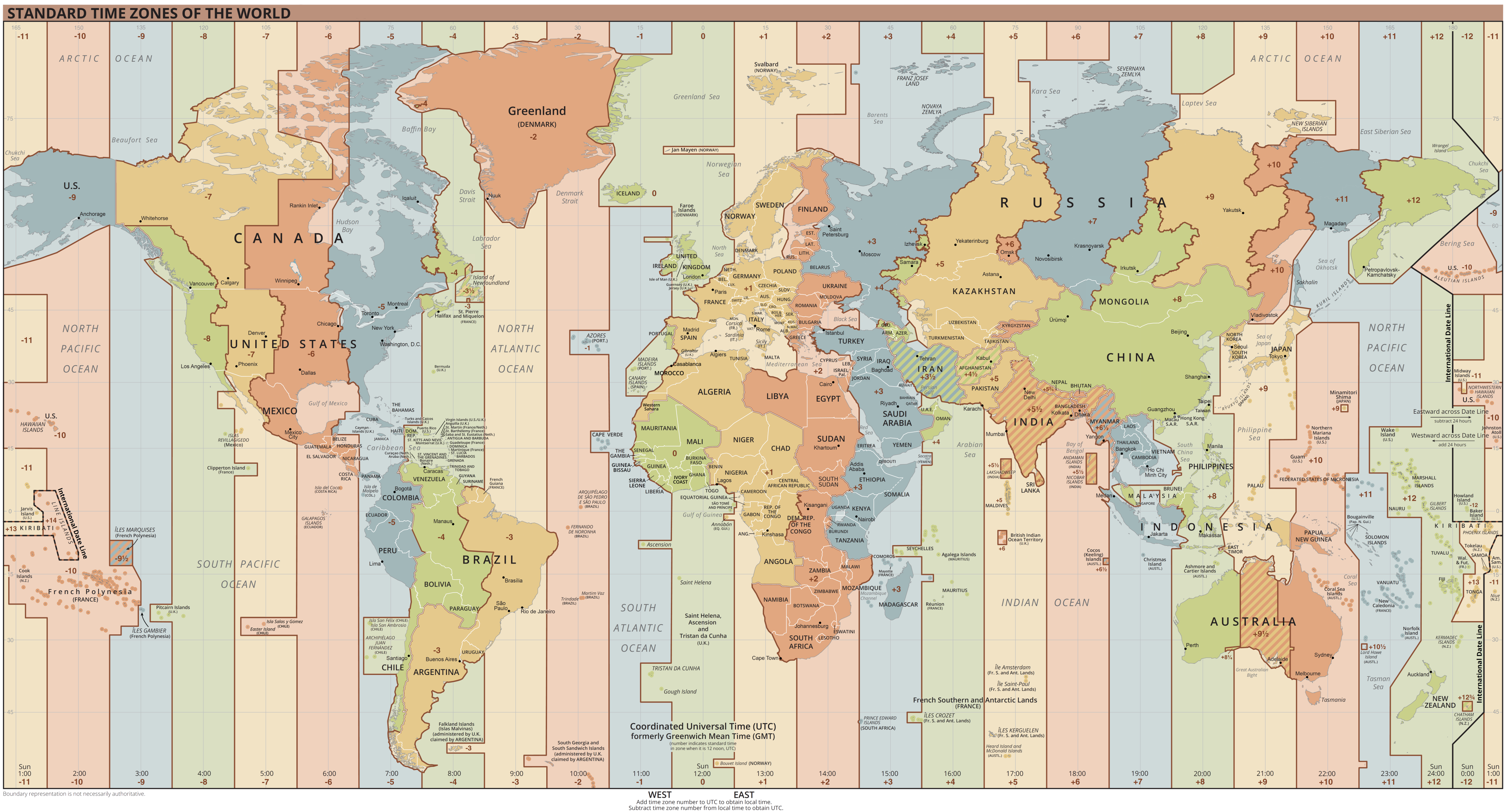
Coordinated Universal Time or UTC is the primary time standard by which the world regulates clocks and time. It is within about one second of mean solar time (such as UT1) at 0° longitude (at the IERS Reference Meridian as the currently used prime meridian) and is not adjusted for daylight saving time. It is effectively a successor to Greenwich Mean Time (GMT). The coordination of time and frequency transmissions around the world began on 1 January 1960. UTC was first officially adopted as CCIR Recommendation 374, ''Standard-Frequency and Time-Signal Emissions'', in 1963, but the official abbreviation of UTC and the official English name of Coordinated Universal Time (along with the French equivalent) were not adopted until 1967. The system has been adjusted several times, including a brief period during which the time-coordination radio signals broadcast both UTC and "Stepped Atomic Time (SAT)" before a new UTC was adopted in 1970 and implemented in 1972. This change also a ... [...More Info...] [...Related Items...] OR: [Wikipedia] [Google] [Baidu] |
Monsoon Trough
The monsoon trough is a portion of the Intertropical Convergence Zone in the Western Pacific,Bin WangThe Asian Monsoon.Retrieved 2008-05-03. as depicted by a line on a weather map showing the locations of minimum sea level pressure, and as such, is a convergence zone between the wind patterns of the southern and northern hemispheres. Westerly monsoon winds lie in its equatorward portion while easterly trade winds exist poleward of the trough. Right along its axis, heavy rains can be found which usher in the peak of a location's respective rainy season. As it passes poleward of a location, hot and dry conditions develop. The monsoon trough plays a role in creating many of the world's rainforests. The term ''monsoon trough'' is most commonly used in monsoonal regions of the Western Pacific such as Asia and Australia. The migration of the ITCZ/monsoon trough into a landmass heralds the beginning of the annual rainy season during summer months. Depressions and tropical cyclones ofte ... [...More Info...] [...Related Items...] OR: [Wikipedia] [Google] [Baidu] |
Kolkata
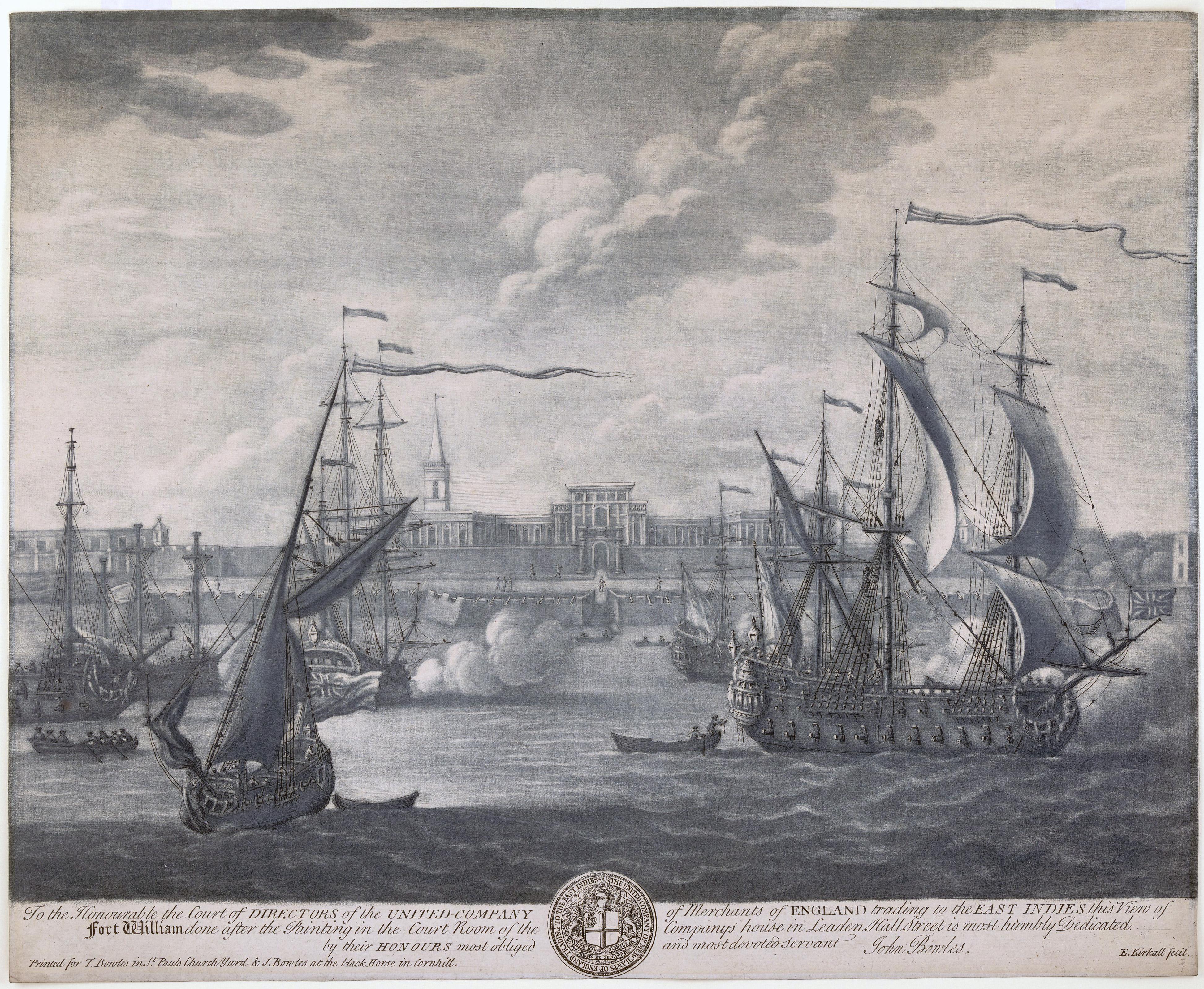
Kolkata (, or , ; also known as Calcutta , the official name until 2001) is the capital of the Indian state of West Bengal, on the eastern bank of the Hooghly River west of the border with Bangladesh. It is the primary business, commercial, and financial hub of Eastern India and the main port of communication for North-East India. According to the 2011 Indian census, Kolkata is the seventh-most populous city in India, with a population of 45 lakh (4.5 million) residents within the city limits, and a population of over 1.41 crore (14.1 million) residents in the Kolkata Metropolitan Area. It is the third-most populous metropolitan area in India. In 2021, the Kolkata metropolitan area crossed 1.5 crore (15 million) registered voters. The Port of Kolkata is India's oldest operating port and its sole major riverine port. Kolkata is regarded as the cultural capital of India. Kolkata is the second largest Bengali-speaking city after Dhaka ... [...More Info...] [...Related Items...] OR: [Wikipedia] [Google] [Baidu] |
Low-pressure Area
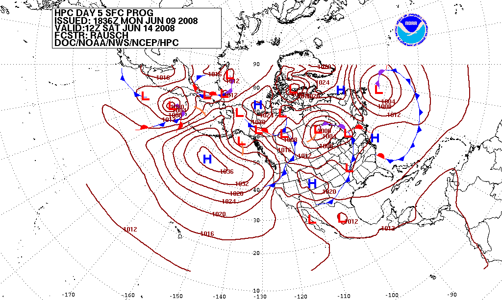
In meteorology, a low-pressure area, low area or low is a region where the atmospheric pressure is lower than that of surrounding locations. Low-pressure areas are commonly associated with inclement weather (such as cloudy, windy, with possible rain or storms), while high-pressure areas are associated with lighter winds and clear skies. Winds circle anti-clockwise around lows in the northern hemisphere, and clockwise in the southern hemisphere, due to opposing Coriolis force, Coriolis forces. Low-pressure systems form under areas of wind divergence that occur in the upper levels of the Atmosphere of Earth, atmosphere (aloft). The formation process of a low-pressure area is known as cyclogenesis. In Meteorology#Dynamic meteorology, meteorology, atmospheric divergence aloft occurs in two kinds of places: * The first is in the area on the east side of upper Trough (meteorology), troughs, which form half of a Rossby wave within the Westerlies (a trough (meteorology), trough with la ... [...More Info...] [...Related Items...] OR: [Wikipedia] [Google] [Baidu] |
1980 North Indian Ocean Cyclone Season
The 1980 North Indian Ocean cyclone season was part of the annual cycle of tropical cyclone formation. The season has no official bounds but cyclones tend to form between April and December. These dates conventionally delimit the period of each year when most tropical cyclones form in the northern Indian Ocean. There are two main seas in the North Indian Ocean—the Bay of Bengal to the east of the Indian subcontinent and the Arabian Sea to the west of India. The official Regional Specialized Meteorological Centre in this basin is the India Meteorological Department (IMD), while the Joint Typhoon Warning Center (JTWC) releases unofficial advisories. An average of five tropical cyclones form in the North Indian Ocean every season with peaks in May and November. Cyclones occurring between the meridians 45°E and 100°E are included in the season by the IMD. __TOC__ Systems There were 14 depressions during the season. The first depression lasted from May 15–19, moving from the ... [...More Info...] [...Related Items...] OR: [Wikipedia] [Google] [Baidu] |
1984 North Indian Ocean Cyclone Season
The 1984 North Indian Ocean cyclone season was part of the annual cycle of tropical cyclone formation. The season has no official bounds but cyclones tend to form between April and December. These dates conventionally delimit the period of each year when most tropical cyclones form in the northern Indian Ocean. There are two main seas in the North Indian Ocean—the Bay of Bengal to the east of the Indian subcontinent and the Arabian Sea to the west of India. The official Regional Specialized Meteorological Centre in this basin is the India Meteorological Department (IMD), while the Joint Typhoon Warning Center (JTWC) releases unofficial advisories. An average of five tropical cyclones form in the North Indian Ocean every season with peaks in May and November. Cyclones occurring between the meridians 45°E and 100°E are included in the season by the IMD. Systems Tropical Storm One (1A) On May 23 a tropical disturbance developed 180nm (333km) southwest off the island of Socot ... [...More Info...] [...Related Items...] OR: [Wikipedia] [Google] [Baidu] |
Monsoon
A monsoon () is traditionally a seasonal reversing wind accompanied by corresponding changes in precipitation but is now used to describe seasonal changes in atmospheric circulation and precipitation associated with annual latitudinal oscillation of the Intertropical Convergence Zone (ITCZ) between its limits to the north and south of the equator. Usually, the term monsoon is used to refer to the rainy phase of a seasonally changing pattern, although technically there is also a dry phase. The term is also sometimes used to describe locally heavy but short-term rains. The major monsoon systems of the world consist of the West African, Asia–Australian, the North American, and South American monsoons. The term was first used in English in British India and neighboring countries to refer to the big seasonal winds blowing from the Bay of Bengal and Arabian Sea in the southwest bringing heavy rainfall to the area. Etymology The etymology of the word monsoon is not wholl ... [...More Info...] [...Related Items...] OR: [Wikipedia] [Google] [Baidu] |
Persistence Forecasting
Weather forecasting is the application of science and technology to predict the conditions of the atmosphere for a given location and time. People have attempted to predict the weather informally for millennia and formally since the 19th century. Weather forecasts are made by collecting quantitative data about the current state of the atmosphere, land, and ocean and using meteorology to project how the atmosphere will change at a given place. Once calculated manually based mainly upon changes in barometric pressure, current weather conditions, and sky condition or cloud cover, weather forecasting now relies on computer-based models that take many atmospheric factors into account. Human input is still required to pick the best possible forecast model to base the forecast upon, which involves pattern recognition skills, teleconnections, knowledge of model performance, and knowledge of model biases. The inaccuracy of forecasting is due to the chaotic nature of the atmosphere, t ... [...More Info...] [...Related Items...] OR: [Wikipedia] [Google] [Baidu] |
Tropical Cyclone Forecast Model
A tropical cyclone forecast model is a computer program that uses meteorological data to forecast aspects of the future state of tropical cyclones. There are three types of models: statistical, dynamical, or combined statistical-dynamic. Dynamical models utilize powerful supercomputers with sophisticated mathematical modeling software and meteorological data to calculate future weather conditions. Statistical models forecast the evolution of a tropical cyclone in a simpler manner, by extrapolating from historical datasets, and thus can be run quickly on platforms such as personal computers. Statistical-dynamical models use aspects of both types of forecasting. Four primary types of forecasts exist for tropical cyclones: track, intensity, storm surge, and rainfall. Dynamical models were not developed until the 1970s and the 1980s, with earlier efforts focused on the storm surge problem. Track models did not show forecast skill when compared to statistical models until th ... [...More Info...] [...Related Items...] OR: [Wikipedia] [Google] [Baidu] |


