|
1986 Jamaica Floods
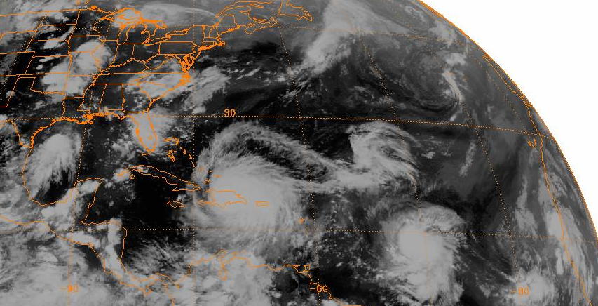
Floods killed 50 people in Jamaica in 1986, comparable to flooding that occurred in June 1979. The floods originated as a stationary front on May 24 that produced rainfall across much of the central Caribbean Sea for two weeks. Rainfall totals in Jamaica reached at Norman Manley International Airport. The flooding left heavy agriculture damage totaling $22.5 million, and 40,000 residents per day received meals after the event. Roads and bridges were damaged across the country, and one damaged bridge resulted in eight deaths after a bus crashed. The floods left 2,000 Jamaicans homeless. Elsewhere, the floods were the worst in Haiti in decades. There, a swollen river destroyed several homes in Les Cayes, and there were 21 deaths nationwide. In neighboring Dominican Republic, flooding isolated several towns and caused mudslides that killed 12 people. In Cuba, flooding was worst in the easternmost four provinces, and there were five deaths. The ... [...More Info...] [...Related Items...] OR: [Wikipedia] [Google] [Baidu] |
Greater Antilles
The Greater Antilles ( es, Grandes Antillas or Antillas Mayores; french: Grandes Antilles; ht, Gwo Zantiy; jam, Grieta hAntiliiz) is a grouping of the larger islands in the Caribbean Sea, including Cuba, Hispaniola, Puerto Rico, Jamaica, and the Cayman Islands. Six island states share the region of the Greater Antilles, with Haiti and the Dominican Republic sharing the island of Hispaniola. Together with the Lesser Antilles, they make up the Antilles. While most of the Greater Antilles consists of independent countries, Puerto Rico is an unincorporated territory of the United States, while the Cayman Islands are a British Overseas Territory. The largest island by area is Cuba, which extends to the western end of the island group. Puerto Rico lies on the eastern end, and the island of Hispaniola, the largest island by population, is located in the middle. Jamaica lies to the south of Cuba, while the Cayman Islands are located to the west. The state of Florida is the closes ... [...More Info...] [...Related Items...] OR: [Wikipedia] [Google] [Baidu] |
Discharge (hydrology)
In hydrology, discharge is the volumetric flow rate of water that is transported through a given cross-sectional area. It includes any suspended solids (e.g. sediment), dissolved chemicals (e.g. CaCO3(aq)), or biologic material (e.g. diatoms) in addition to the water itself. Terms may vary between disciplines. For example, a fluvial hydrologist studying natural river systems may define discharge as streamflow, whereas an engineer operating a reservoir system may equate it with outflow, contrasted with inflow. Theory and calculation A discharge is a measure of the quantity of any fluid flow over unit time. The quantity may be either volume or mass. Thus the water discharge of a tap (faucet) can be measured with a measuring jug and a stopwatch. Here the discharge might be 1 litre per 15 seconds, equivalent to 67 ml/second or 4 litres/minute. This is an average measure. For measuring the discharge of a river we need a different method and the most common is the 'area-velocity' method. ... [...More Info...] [...Related Items...] OR: [Wikipedia] [Google] [Baidu] |
Santo Domingo
, total_type = Total , population_density_km2 = auto , timezone = AST (UTC −4) , area_code_type = Area codes , area_code = 809, 829, 849 , postal_code_type = Postal codes , postal_code = 10100–10699 (Distrito Nacional) , website Ayuntamiento del Distrito Nacional Santo Domingo ( meaning "Saint Dominic"), once known as Santo Domingo de Guzmán and Ciudad Trujillo, is the capital and largest city of the Dominican Republic and the largest metropolitan area in the Caribbean by population. As of 2022, the city and immediate surrounding area (the Distrito Nacional) had a population of 1,484,789, while the total population is 2,995,211 when including Greater Santo Domingo (the "metropolitan area"). The city is coterminous with the boundaries of the Distrito Nacional ("D.N.", "National District"), itself bordered on three sides by Santo Domingo Province. Founded by the Spanish in 1496, on the east bank of the Ozama River and then moved by Nicolás de Ovando in 1502 ... [...More Info...] [...Related Items...] OR: [Wikipedia] [Google] [Baidu] |
Ravine River (Haiti)
The Ravine du Sud (also known as La Ravine du Sud or the Ravine River) is a river of Haiti Haiti (; ht, Ayiti ; French: ), officially the Republic of Haiti (); ) and formerly known as Hayti, is a country located on the island of Hispaniola in the Greater Antilles archipelago of the Caribbean Sea, east of Cuba and Jamaica, and .... The river flows through the Pic Macaya National Park. See also * List of rivers of Haiti References Rivers of Haiti {{Haiti-river-stub ... [...More Info...] [...Related Items...] OR: [Wikipedia] [Google] [Baidu] |
Granma Province
Granma is one of the provinces of Cuba. Its capital is Bayamo. Other towns include Manzanillo (a port on the Gulf of Guacanayabo) and Pilón. History The province takes its name from the yacht '' Granma'', used by Che Guevara and Fidel Castro to land in Cuba with 82 guerrillas on December 2, 1956; until 1976 the area formed part of Santiago de Cuba larger province " Oriente Province". The American who sold the guerillas the secondhand yacht in Mexico apparently had named it "Granma" ("Granma", more usually "Grandma", is an affectionate term for a grandmother) after his grandmother. The name of the vessel became an icon for Cuban communism. The province is full of reminders of the Cuban Revolution, and of the Cuban Wars of Independence; plaques in the mountain commemorate the 1959 struggle against Fulgencio Batista. Other sites, unmarked, include archaeological digs, the sites of several palenques, and the fortified hamlets of escaped slaves. In 2005 Hurricane Dennis destroye ... [...More Info...] [...Related Items...] OR: [Wikipedia] [Google] [Baidu] |
Santiago De Cuba Province
Santiago de Cuba Province is the second most populated province in the island of Cuba. The largest city Santiago de Cuba is the main administrative center. Other large cities include Palma Soriano, Contramaestre, San Luis and Songo-la Maya. History Santiago de Cuba province has been the site of many battles, both during the war for independence and the 1959 Cuban Revolution, where much of the guerrilla fighting took place in the mountainous province. Prior to 1976, Cuba was divided into six historical provinces. One of these was Oriente province, which was, prior to 1905, known as Santiago de Cuba province. The present day province comprises the south-central region of Oriente. Economy The province is rich in material resources such as iron and nickel. The economy, however, relies mostly on agriculture, with large plantations growing bananas, cacao, and coffee dotting the landscape. Industry is growing around the capital, as is tourism. The natural environment of the provin ... [...More Info...] [...Related Items...] OR: [Wikipedia] [Google] [Baidu] |
1979 Atlantic Hurricane Season
The 1979 Atlantic hurricane season was the first season to include both male and female names, as well as the common six-year rotating lists of tropical cyclone names. The season officially began on June 1, and lasted until November 30. These dates conventionally delimit the period of each year when most tropical cyclones form in the Atlantic basin. It was slightly below average, with nine systems reaching tropical storm intensity. The first system, an unnumbered tropical depression, developed north of Puerto Rico on June 9. Two days later, Tropical Depression One formed and produced severe flooding in Jamaica, with 40 deaths and about $27 million (1979 USD) in damage. Tropical Storm Ana caused minimal impact in the Lesser Antilles. Hurricane Bob spawned tornadoes and produced minor wind damage along the Gulf Coast of the United States, primarily in Louisiana, while the remnants caused flooding, especially in Indiana. Tropical Storm Claudette caused e ... [...More Info...] [...Related Items...] OR: [Wikipedia] [Google] [Baidu] |
Rio Minho (Jamaica)
The Rio Minho is the longest river in Jamaica at . It rises close to the island's geographic centre, flows generally south-southwest and reaches the Caribbean Sea at Carlisle Bay Carlisle Bay is a small natural harbour located in the southwest region of Barbados. The island nation's capital, Bridgetown, is situated on this bay which has been turned into a marine park. Carlisle Bay's marine park is a popular spot on the ... in the central south coast, to the west of the island's southernmost point, Portland Point. The town of May Pen, Clarendon lies on the banks of the river. IUGS geological heritage site In respect of it being the 'most diverse and thickest limestone succession with abundant rudist bivalves within the Caribbean faunal province', the International Union of Geological Sciences (IUGS) included the 'Late Cretaceous rudist bivalves of the Caribbean Province' around the Rio Minho in its assemblage of 100 'geological heritage sites' around the world in a list ... [...More Info...] [...Related Items...] OR: [Wikipedia] [Google] [Baidu] |
May Pen
May Pen is the capital and largest town in the parish of Clarendon in Middlesex County, Jamaica. It is located on the Rio Minho river (Jamaica's longest), and is a major market centre for the Parish. The population was 61,548 at the 2011 census increasing from 59,550 in 2001, including the surrounding suburbs of Sandy Bay, Mineral Heights, Hazard, Palmers Cross, Denbigh, Race Track, and Four Paths among others. The town has a mayor. Description May Pen, originally May's Pen, was established as a pen (cattle farm) settlement by the British between 1660 and 1683 on a crossing point of the Rio Minho river. It became part of an estate named after its owner, slave trader, Reverend William May, who was born in England in 1695 but in his later years resided in Jamaica. He oversaw 27 enslaved people on this estate and was rector of the Kingston Parish Church but was later transferred to Clarendon, where he served for 32 years. May Pen is well located from an administrative point o ... [...More Info...] [...Related Items...] OR: [Wikipedia] [Google] [Baidu] |
Parishes Of Jamaica
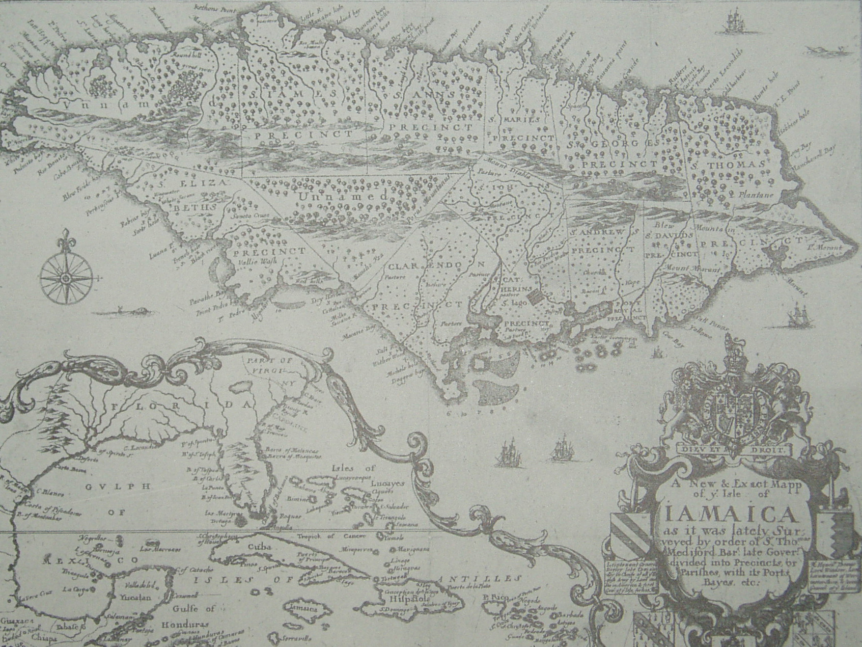
The parishes of Jamaica are the main units of local government in Jamaica. They were created following the English Invasion of Jamaica in 1655. This administrative structure for the Colony of Jamaica developed slowly. However, since 1 May 1867 Jamaica has been divided into the current fourteen parishes. These were retained after independence in 1962. They are grouped into three historic counties, which no longer have any administrative relevance. Every parish has a coast; none are landlocked. List (1) The parishes of Kingston and Saint Andrew together form the ''Kingston and St. Andrew Corporation''. (2) The parish of Kingston does not encompass all of the city of Kingston. Most of the city is in the parish of St. Andrew. History Early history Following the English conquest of Jamaica the first phase of colonisation was carried out by the Army, with a system of Regimental plantations. These were drawn up on the southern flat lands, with the Regimental commanders charge ... [...More Info...] [...Related Items...] OR: [Wikipedia] [Google] [Baidu] |
.jpg)


