|
1971–72 Athenian League
The 1971–72 Athenian League season was the 49th in the history of Athenian League. The league consisted of 48 teams. Premier Division The division featured three new teams, promoted from last season's Division One: * Aveley (1st) * Erith & Belvedere (2nd) * Hornchurch (3rd) League table Division One The division featured three new teams, promoted from last season's Division Two: * Herne Bay (1st) * Croydon Amateurs (2nd) * Marlow (3rd) League table Division Two The division joined 3 new teams, all from Spartan League: * Staines Town Staines Town Football Club was a semi-professional football club based in Staines-upon-Thames, Middlesex. History Early days Staines Town FC was founded in 1892 and was known under various names including ''Staines F.C.'',''Staines Albany F ... * Hampton * Addlestone League table References {{DEFAULTSORT:1971-72 Athenian League 1971–72 in English football leagues Athenian League ... [...More Info...] [...Related Items...] OR: [Wikipedia] [Google] [Baidu] |
Athenian League
The Athenian League was an English amateur football league for clubs in and around London. The league was originally to be called the Corinthian League,Athenian Football League minutes 1912-1921 (National Football Museum, Preston). but this name was rejected by the Football Association. It was formed in 1912 with ten clubs, but had to close down in 1914 due to the onset of World War I. When it reformed in 1920, only three of the previous teams rejoined. Clubs left and joined the league at a rate of about one a year, with a number leaving to join the Isthmian League, the strongest amateur league in the London area. Total membership remained fairly stable at between twelve and sixteen clubs until 1963, when it absorbed most of the clubs from two rival leagues, the Corinthian League (most of whose former clubs formed Division One) and the Delphian League (most of whose former clubs formed Division Two). The existing division was renamed the Premier Division. Over the following year ... [...More Info...] [...Related Items...] OR: [Wikipedia] [Google] [Baidu] |
Lewes F
Lewes () is the county town of East Sussex, England. It is the police and judicial centre for all of Sussex and is home to Sussex Police, East Sussex Fire & Rescue Service, Lewes Crown Court and HMP Lewes. The civil parish is the centre of the Lewes local government district and the seat of East Sussex County Council at East Sussex County Hall. A traditional market town and centre of communications, in 1264 it was the site of the Battle of Lewes. The town's landmarks include Lewes Castle, Lewes Priory, Bull House (the former home of Thomas Paine), Southover Grange and public gardens, and a 16th-century timber-framed Wealden hall house known as Anne of Cleves House. Other notable features of the area include the Glyndebourne festival, the Lewes Bonfire celebrations and the Lewes Pound. Etymology The place-name 'Lewes' is first attested in an Anglo-Saxon charter circa 961 AD, where it appears as ''Læwe''. It appears as ''Lewes'' in the Domesday Book of 1086. The addit ... [...More Info...] [...Related Items...] OR: [Wikipedia] [Google] [Baidu] |
Eastbourne United Association F
Eastbourne () is a town and seaside resort in East Sussex, on the south coast of England, east of Brighton and south of London. Eastbourne is immediately east of Beachy Head, the highest chalk sea cliff in Great Britain and part of the larger Eastbourne Downland Estate. The seafront consists largely of Victorian hotels, a pier, theatre, contemporary art gallery and a Napoleonic era fort and military museum. Though Eastbourne is a relatively new town, there is evidence of human occupation in the area from the Stone Age. The town grew as a fashionable tourist resort largely thanks to prominent landowner, William Cavendish, later to become the Duke of Devonshire. Cavendish appointed architect Henry Currey to design a street plan for the town, but not before sending him to Europe to draw inspiration. The resulting mix of architecture is typically Victorian and remains a key feature of Eastbourne. As a seaside resort, Eastbourne derives a large and increasing income from ... [...More Info...] [...Related Items...] OR: [Wikipedia] [Google] [Baidu] |
Chesham United F
Chesham (, , or ) is a market town and civil parish in Buckinghamshire, England, south-east of the county town of Aylesbury, north-west of central London, and part of the London commuter belt. It is in the Chess Valley, surrounded by farmland. The earliest records of Chesham as a settlement are from the second half of the 10th century, although there is archaeological evidence of people in this area from around 8000 BC. Henry III granted a royal charter for a weekly market in 1257. Chesham is known for its ''four Bs'' boots, beer, brushes and Baptists. In the face of fierce competition from both home and abroad during the later 19th and early 20th centuries, the three traditional industries rapidly declined. The ready availability of skilled labour encouraged new industries to the town both before and after the Second World War. Today, employment in the town is provided mainly by small businesses engaged in light industry, technology and professional services. From t ... [...More Info...] [...Related Items...] OR: [Wikipedia] [Google] [Baidu] |
Finchley F
Finchley () is a large district of north London, England, in the London Borough of Barnet. Finchley is on high ground, north of Charing Cross. Nearby districts include: Golders Green, Muswell Hill, Friern Barnet, Whetstone, Mill Hill and Hendon. It is predominantly a residential suburb, with three town centres: North Finchley, East Finchley and Finchley Church End (Finchley Central). Made up of four wards, the population of Finchley counted 65,812 as of 2011. History Finchley probably means "Finch's clearing" or "finches' clearing" in late Anglo-Saxon; the name was first recorded in the early 13th century. Finchley is not recorded in Domesday Book, but by the 11th century its lands were held by the Bishop of London. In the early medieval period the area was sparsely populated woodland, whose inhabitants supplied pigs and fuel to London. Extensive cultivation began about the time of the Norman conquest. By the 15th and 16th centuries the woods on the eastern side of th ... [...More Info...] [...Related Items...] OR: [Wikipedia] [Google] [Baidu] |
Hertford Town F
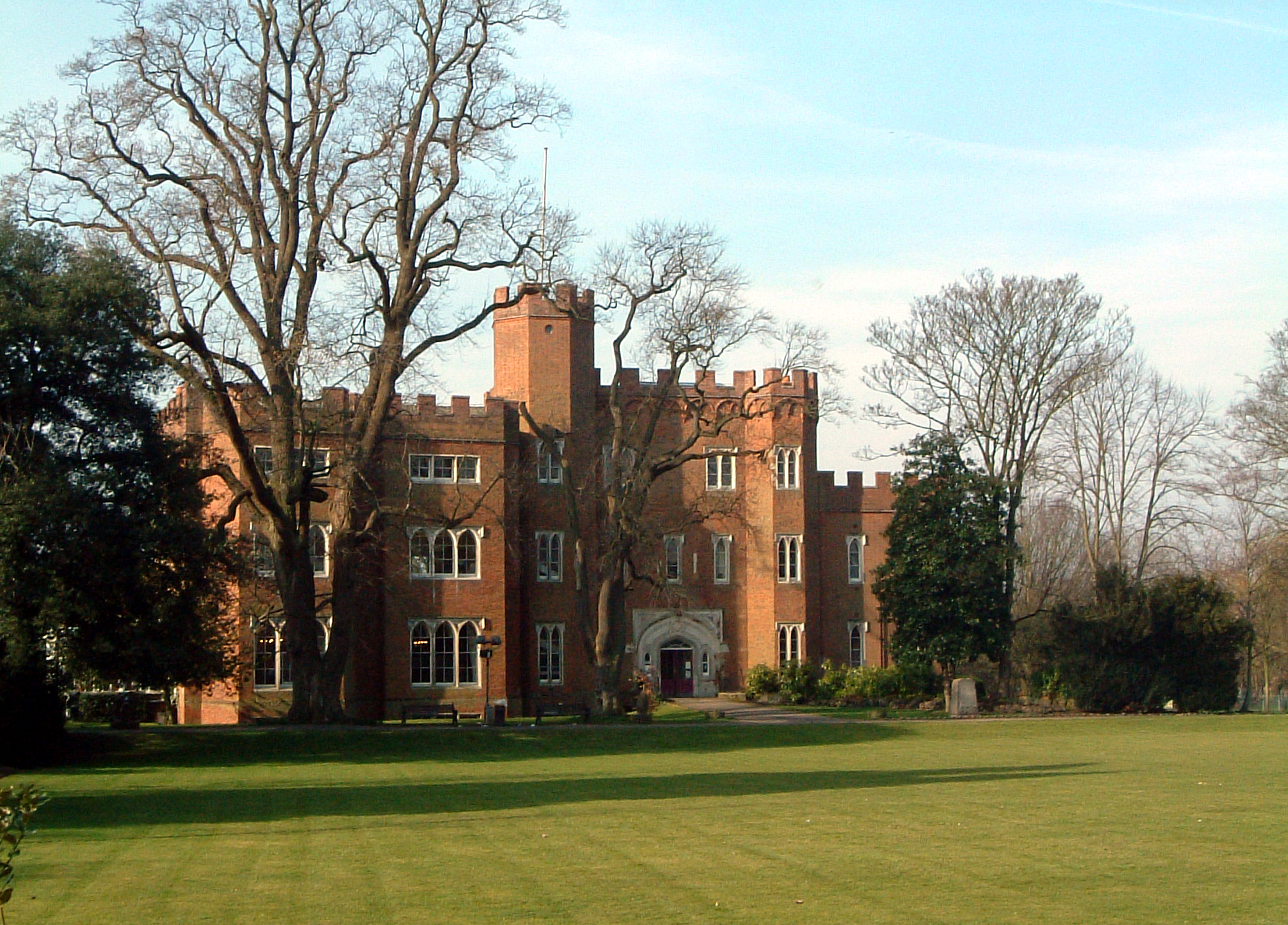
Hertford ( ) is the county town of Hertfordshire, England, and is also a civil parish in the East Hertfordshire district of the county. The parish had a population of 26,783 at the 2011 census. The town grew around a ford on the River Lea, near its confluences with the rivers Mimram, Beane, and Rib. The Lea is navigable from the Thames up to Hertford. Fortified settlements were established on each side of the ford at Hertford in 913AD. The county of Hertfordshire was established at a similar time, being named after and administered from Hertford. Hertford Castle was built shortly after the Norman Conquest in 1066 and remained a royal residence until the early seventeenth century. Hertfordshire County Council and East Hertfordshire District Council both have their main offices in the town and are major local employers, as is McMullen's Brewery, which has been based in the town since 1827. The town is also popular with commuters, being only north of central London and connecte ... [...More Info...] [...Related Items...] OR: [Wikipedia] [Google] [Baidu] |
Carshalton Athletic F
Carshalton () is a town, with a historic village centre, in south London, England, within the London Borough of Sutton. It is situated south-southwest of Charing Cross, in the valley of the River Wandle, one of the sources of which is Carshalton Ponds in the middle of the village. Prior to the creation of Greater London in 1965, Carshalton was in the administrative county of Surrey. Carshalton consists of a number of neighbourhoods. The main focal point, Carshalton Village, is visually scenic and picturesque. At its centre it has two adjoining ponds, which are overlooked by the Grade II listed All Saints Church on the south side and the Victorian Grove Park on the north side. The Grade II listed Honeywood Museum sits on the west side, a few yards from the water. There are a number of other listed buildings, as well as three conservation areas, including one in the village. In addition to Honeywood Museum, there are several other cultural features in Carshalton, including the Cha ... [...More Info...] [...Related Items...] OR: [Wikipedia] [Google] [Baidu] |
Horsham F
Horsham is a market town on the upper reaches of the River Arun on the fringe of the Weald in West Sussex, England. The town is south south-west of London, north-west of Brighton and north-east of the county town of Chichester. Nearby towns include Crawley to the north-east and Haywards Heath and Burgess Hill to the south-east. It is the administrative centre of the Horsham district. History Governance Horsham is the largest town in the Horsham District Council area. The second, higher, tier of local government is West Sussex County Council, based in Chichester. It lies within the ancient Norman administrative division of the Rape of Bramber and the Hundred of Singlecross in Sussex. The town is the centre of the parliamentary constituency of Horsham, recreated in 1983. Jeremy Quin has served as Conservative Member of Parliament for Horsham since 2015, succeeding Francis Maude, who held the seat from 1997 but retired at the 2015 general election. Geography Weat ... [...More Info...] [...Related Items...] OR: [Wikipedia] [Google] [Baidu] |
Marlow F
Marlow may refer to: Places Australia *Marlow, New South Wales, a suburb on the Central Coast Germany *Marlow, Germany United Kingdom *Little Marlow, Buckinghamshire *Marlow, Buckinghamshire **Marlow Bridge, an old suspension bridge over the River Thames **Marlow Rugby Union Football Club, a Rugby Union Club in Buckinghamshire **Marlow F.C., a football club in Buckinghamshire ** Marlow United F.C., a football club in Buckinghamshire **Marlow Regatta, an international rowing event ** Marlow Town Regatta and Festival, a local rowing event and festival *Marlow, Herefordshire United States *Marlow, Missouri *Marlow, New Hampshire *Marlow, Oklahoma *Marlow, Tennessee *Marlow Heights, Maryland People * Marlow (surname) Marlow is a surname of English origin, derived from the town of Marlow in Buckinghamshire. People with the surname * Alex Marlow (born 1986), editor of Breitbart News * Bobby Marlow (c. 1930–1985), American football running back * Charles Marlo ..., incl ... [...More Info...] [...Related Items...] OR: [Wikipedia] [Google] [Baidu] |
Herne Bay F
{{disambiguation, geo ...
Herne may refer to: Places Australia * Herne Hill, Victoria * Herne Hill, Western Australia, a suburb of Perth * Riverwood, New South Wales, formerly known as Herne Bay England * Herne, Kent, near the town of Herne Bay * Herne Bay, seaside town located in southeastern Kent * Herne Common, Kent * Herne Hill in London Elsewhere * Herne, Belgium * Herne, North Rhine-Westphalia, Germany * Herne Bay, New Zealand, a suburb of Auckland Other uses * Herne (surname) * Herne the Hunter, an English mythological figure said to haunt Windsor Forest See also * Ahearn *Aherne *Hearn (other) * Herne Bay (other) *Hernes Hernes is a surname. Notable people with the surname include: *Gudmund Hernes (born 1941), Norwegian politician * Helga Hernes (born 1938), German-born Norwegian political scientist, diplomat, and politician See also *Herne (other) Her ... [...More Info...] [...Related Items...] OR: [Wikipedia] [Google] [Baidu] |
Croydon F
Croydon is a large town in south London, England, south of Charing Cross. Part of the London Borough of Croydon, a local government district of Greater London. It is one of the largest commercial districts in Greater London, with an extensive shopping district and night-time economy. The entire town had a population of 192,064 as of 2011, whilst the wider borough had a population of 384,837. Historically an ancient parish in the Wallington hundred of Surrey, at the time of the Norman conquest of England Croydon had a church, a mill, and around 365 inhabitants, as recorded in the Domesday Book of 1086. Croydon expanded in the Middle Ages as a market town and a centre for charcoal production, leather tanning and brewing. The Surrey Iron Railway from Croydon to Wandsworth opened in 1803 and was an early public railway. Later 19th century railway building facilitated Croydon's growth as a commuter town for London. By the early 20th century, Croydon was an important industrial area ... [...More Info...] [...Related Items...] OR: [Wikipedia] [Google] [Baidu] |
Harlow Town F
Harlow is a large town and local government district located in the west of Essex, England. Founded as a new town, it is situated on the border with Hertfordshire and London, Harlow occupies a large area of land on the south bank of the upper Stort Valley, which has been made navigable through other towns and features a canal section near its watermill. Old Harlow is a historic village founded by the early medieval age and most of its high street buildings are early Victorian and residential, mostly protected by one of the Conservation Areas in the district. In Old Harlow is a field named Harlowbury, a de-settled monastic area which has the remains of a chapel, a scheduled ancient monument. The M11 motorway passes through to the east of the town. Harlow has its own commercial and leisure economy. It is also an outer part of the London commuter belt and employment centre of the M11 corridor which includes Cambridge and London Stansted Airport to the north. At the time of the 2 ... [...More Info...] [...Related Items...] OR: [Wikipedia] [Google] [Baidu] |


